Denver, Colorado
July 1 - 5, 2008
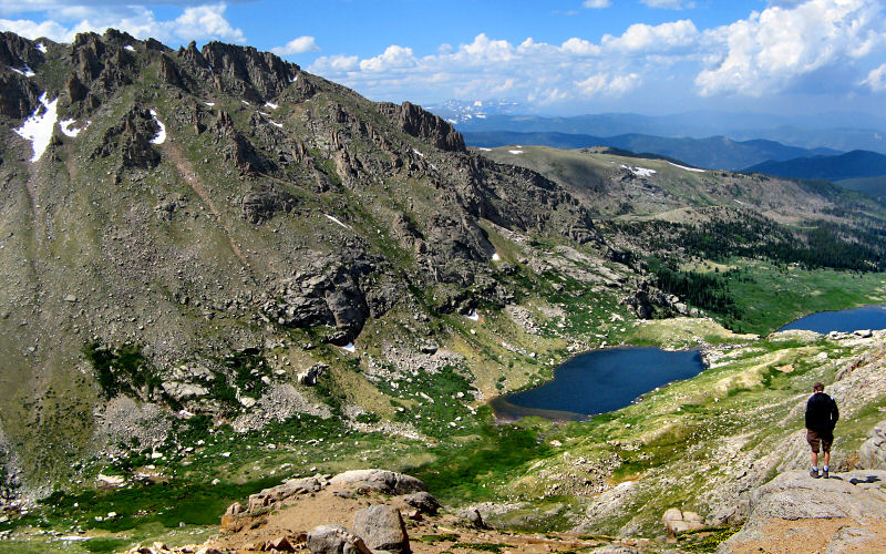
» arapahoe pass, indian peaks wilderness
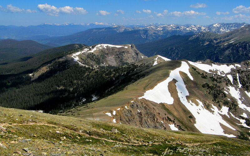
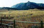
On the 4th of July we headed to the trailhead of the same name in the Indian Peaks Wilderness area. Getting to the trailhead requires driving 5 miles on a rough dirt road but any car should be able to make it. The trailhead starts at 10,120', the pass is at 11,906', Lake Dorothy is at 12,061', and according to my GPS I topped out at 12,542 on Mount Neva's north ridge while hiking a total of 8.7 miles. Getting to the summit requires Class 4 climbing so it wasn't in the cards on this day but it did look like it would have been a fun and challenging scramble. This is a beautiful hike that follows one side of a steep valley with panoramic views for most of the way. We didn't run into too many people until we were on our way back out.
On the 4th of July we headed to the trailhead of the same name in the Indian Peaks Wilderness area. Getting to the trailhead requires driving 5 miles on a rough dirt road but any car should be able to make it. The trailhead starts at 10,120', the pass is at 11,906', Lake Dorothy is at 12,061', and according to my GPS I topped out at 12,542 on Mount Neva's north ridge while hiking a total of 8.7 miles. Getting to the summit requires Class 4 climbing so it wasn't in the cards on this day but it did look like it would have been a fun and challenging scramble. This is a beautiful hike that follows one side of a steep valley with panoramic views for most of the way. We didn't run into too many people until we were on our way back out.
The jagged peaks of Apache and Navajo towering above Caribou Lake, as seen from near Arapahoe Pass.
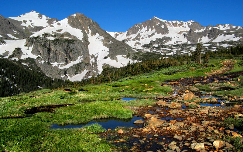
Mount Jasper and Mount Neva as seen from a water saturated meadow just before the trail heads above timberline.
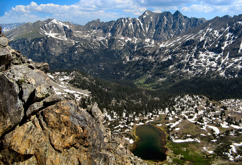
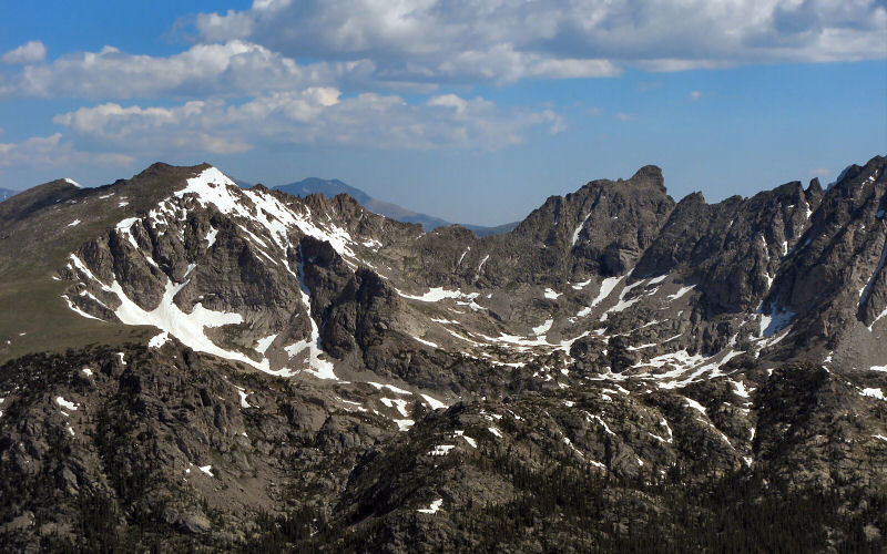
Looking north from Mount Neva's northern ridge.
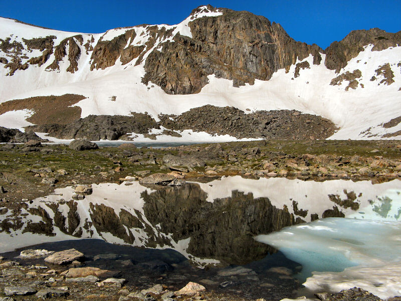
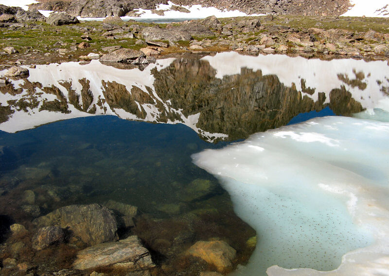
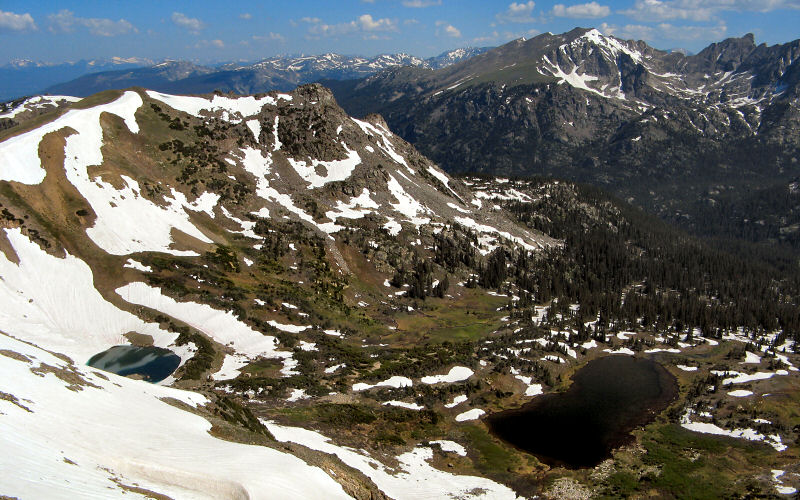
Mount Neva reflecting in a half frozen tarn near Lake Dorothy.
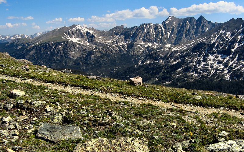
Apache and Navajo Peaks from the trail to Caribou Pass.
Mount Neva.
Look for an orange dot near the center of the photo. This is a climber on the way to Neva's summit (which is not visible in the photo).
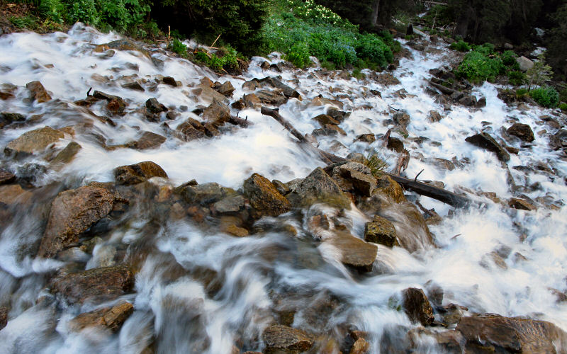
Looking down on a waterfall we crossed.
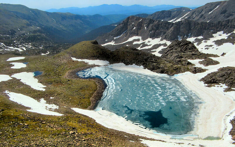
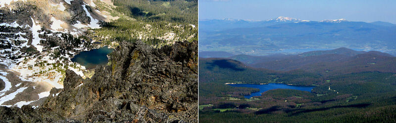
Dorothy Lake from above.
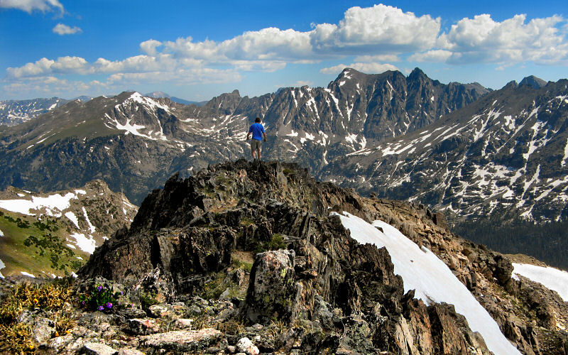
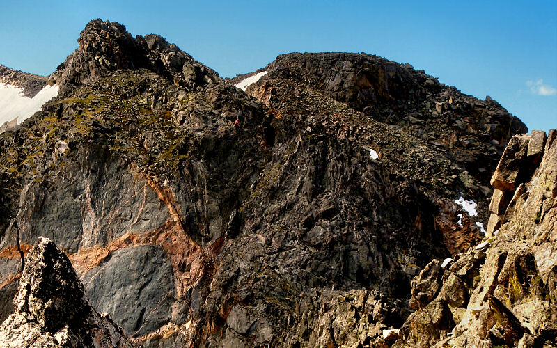
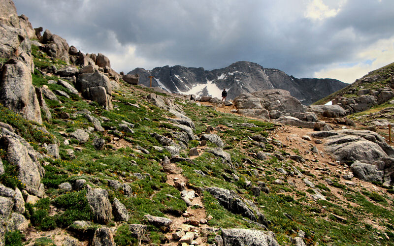
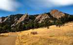
Hiking along Mount Neva's jagged and narrow northern ridge.
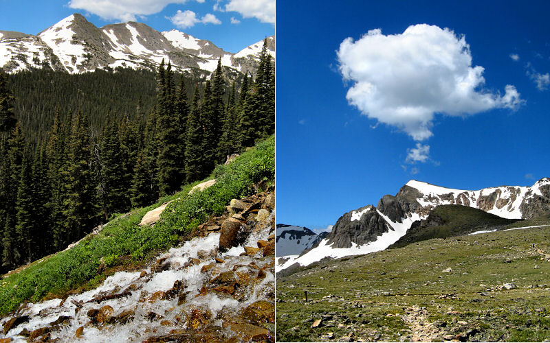
Left: Waterfall. Right: Mount Neva with a thought bubble.
LEft: Water collects in puddles before tumbling down the side of the valley. Right: Looking back towards the trailhead.
Another reflection.
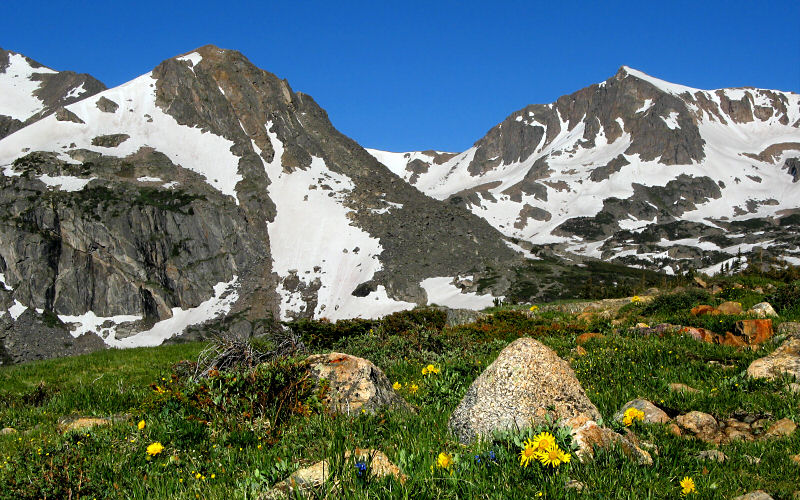
Alpine Sunflowers below Mount Jasper and Mount Neva.
Iroquois Peak.
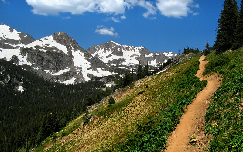
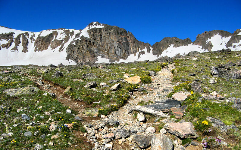
The trail hugs a steep valley.
Left: Columbine Lake. Right: Meadow Creek Reservoir.
Santana Peak and Mount Achonee.
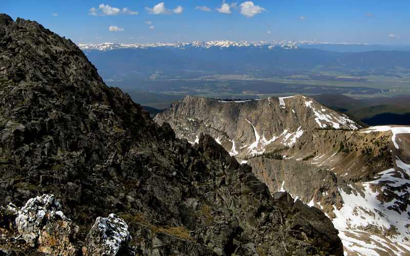
Looking off the back side of Mount Neva towards Winter Park and the very distant Gore Range.
» trail ridge road, rocky mountain national park
Longs Peak.
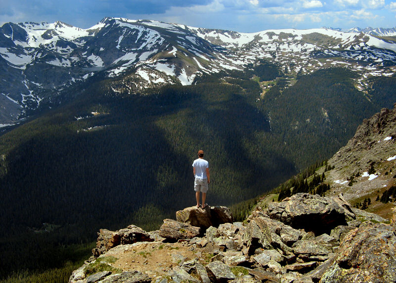
On second thought, maybe standing on this rock at the edge of a cliff while wearing flip-flops wasn't such a great idea. The supervising ranger didn't think so either (Photo by Megan).
Looking towards Estes Park.
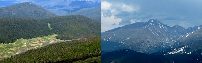
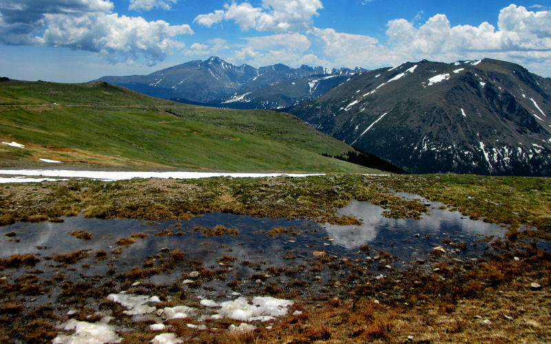
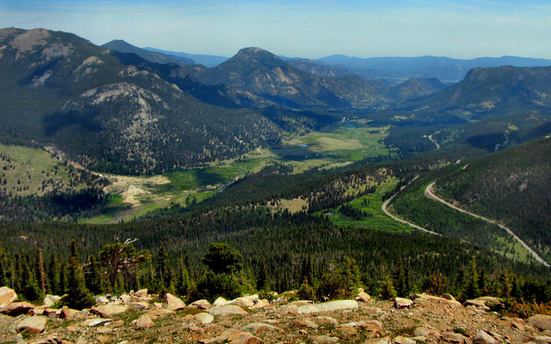
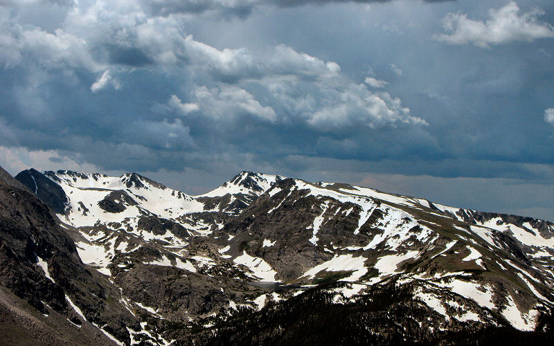
Left: A valley on the west side of Trail Ridge Road. Right: Longs Peak.
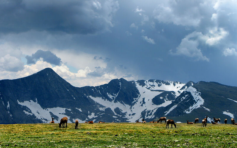
Elk grazing on the tundra.
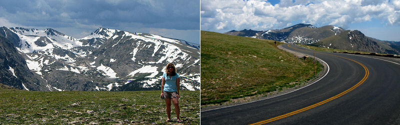
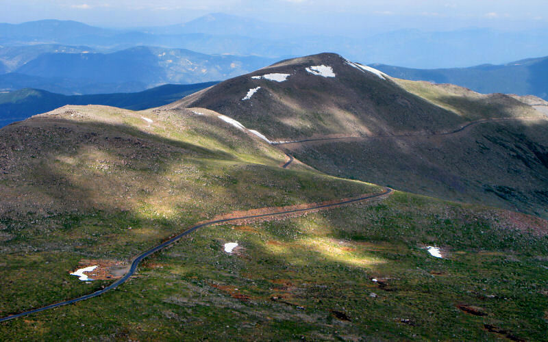
Left: Megan. Right: Trail Ridge Road.
.
» mount evans
Me looking down on the Chicago Lakes, over a thousand feet below (Photo by Megan).
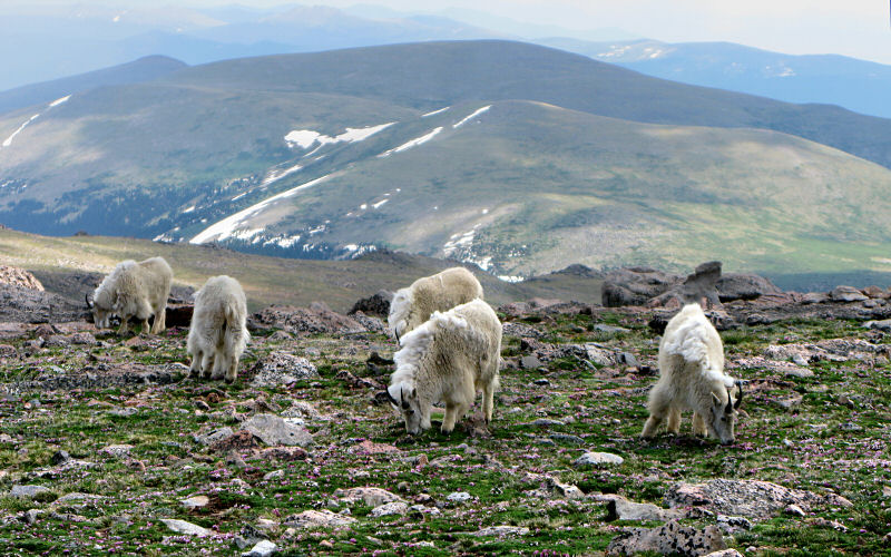
Mountain Goats.
The long road in.
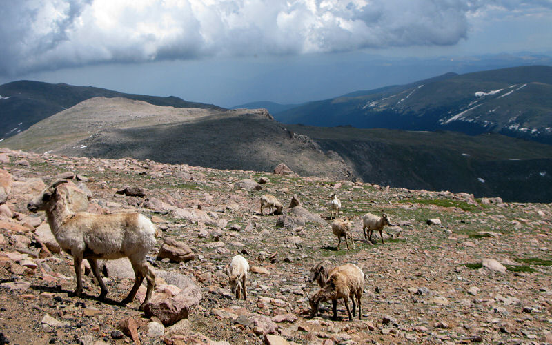
Bighorn Sheep.
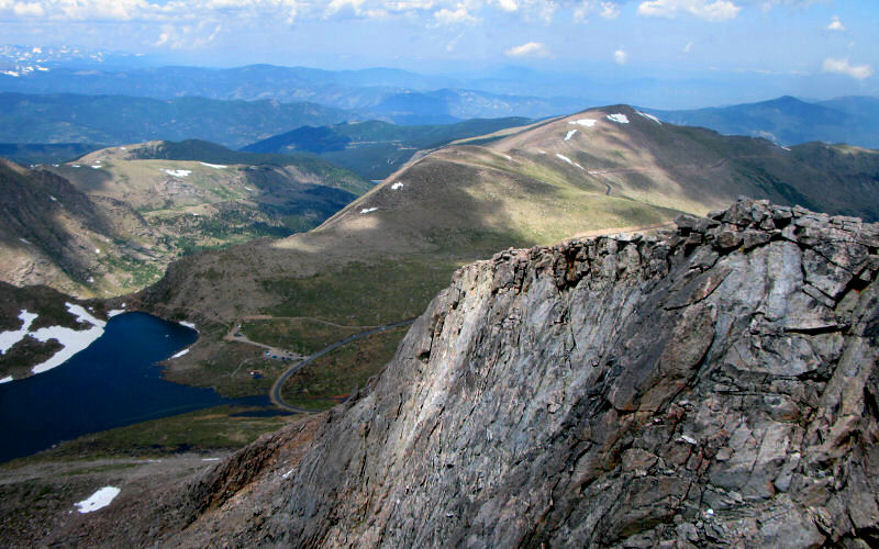
Summit Lake from the summit of Mount Evans.
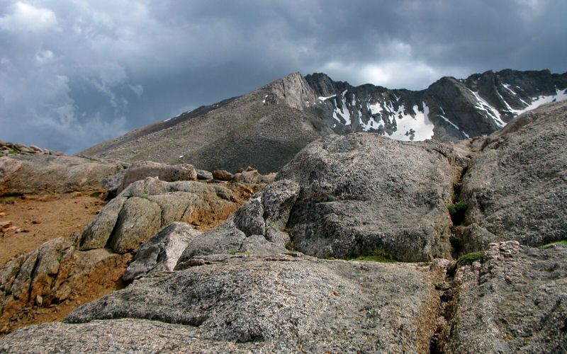
Mount Evans.
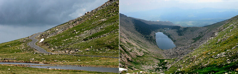
Left: Road. Right: Lincoln Lake.
Megan in front of Mount Evans.
» denver
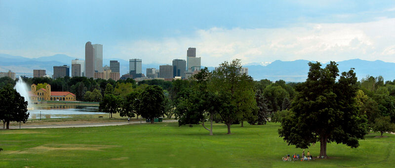
Downtown Denver as seen from the Nature & Science Museum.
» all photo reports from colorado
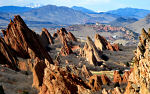
Roxborough State Park, Colorado
March 15, 2009 A few photos from a quick stop at Roxborough State Park near Denver. 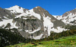
Denver, Colorado
July 1 - 5, 2008 Staying in Denver and checking out the Indian Peaks, Mt. Evans, and Rocky Mountain NP. 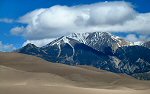
Great Sand Dunes, Etc, Colorado
October 19 - 22, 2006 Checking out the Great Sand Dunes National Park, Fraser, and hiking up Green Mountain outside Boulder. 
|
Crested Butte, Colorado
September 13 - 18, 2007 Hiking up Marcellina Mountain, to Frigid Air Pass, and a few other places, mostly in the Crested Butte area. 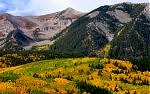
Colorado Fall
September 23 - 28, 2005 Hiking in Crested Butte, Aspen, and Rocky Mountain National Park. 
|
Copyright 1995- Lars Jensen | randomspace@umich.edu |