Crested Butte, Colorado
September 13-16, 2007
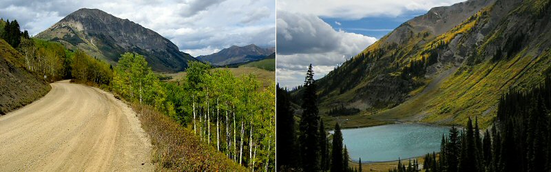
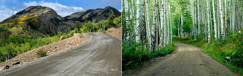
» cottonwood pass
On our first night we stayed in Frisco which is only about an hour west of Denver. We awoke early the next morning to continue driving to Crested Butte via Cottonwood Pass.
On our first night we stayed in Frisco which is only about an hour west of Denver. We awoke early the next morning to continue driving to Crested Butte via Cottonwood Pass.
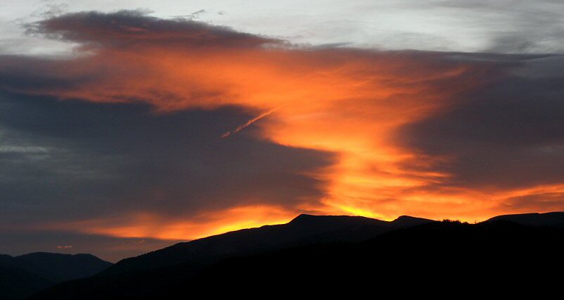
Sunrise in Frisco.
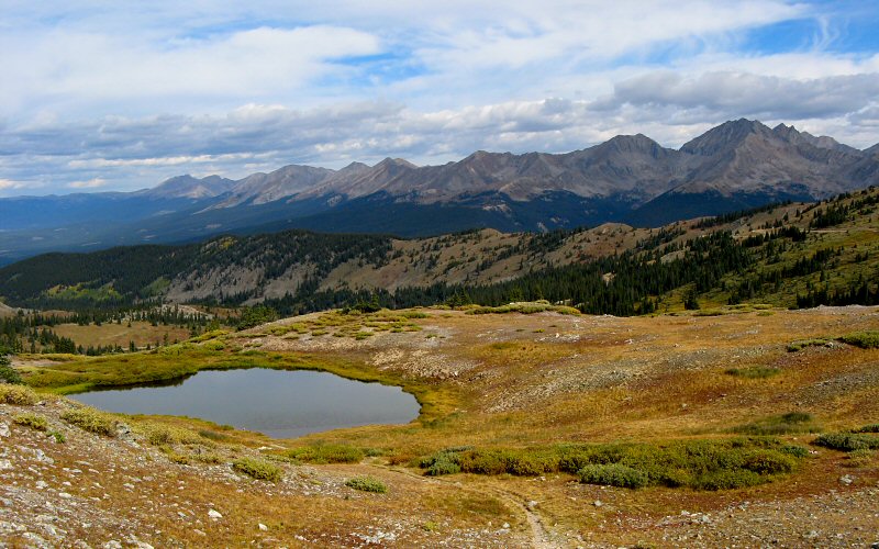
The view from Cottonwood Pass. Ice Mountain, which tops out near 14,000', is the tall peak on the right.
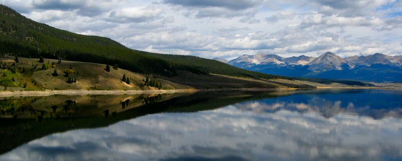
Taylor Reservoir.
» frigid air pass
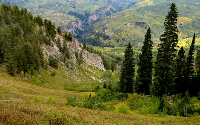
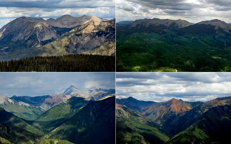
We intended to hike Mount Baldy but I eventually gave up on reaching the trailhead via the "4WD recommended" roads with a non-4WD car. It was still a pretty rough road to get to the trailhead for Frigid Air Pass, but it was all dry so we made it. You do have to be careful driving in this area though because, for instance, had we headed beyond the trailhead a couple miles we would have ended up on a section of road known as one of the most dangerous in Colorado (some vehicles have tumbled over the edge in a section known as the Devil's Punchbowl). Some popular mapping software will actually pick this route to get to Crested Butte from some areas.
The hike up the valley to Frigid Air Pass is not real scenic in the fall because the wildflowers have long since died and there are no aspen trees, but the view from the pass can't dissappoint. You overlook Fravert Basin and the less-photographed west side of the Maroon Bells, one of Colorado's tallest and most difficult peaks to climb.
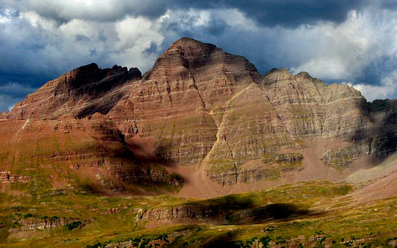
South Maroon Peak from Frigid Air Pass.
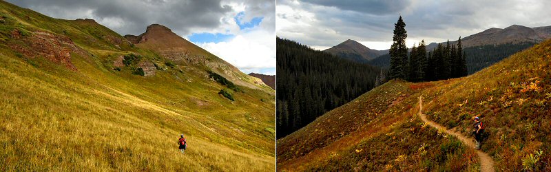
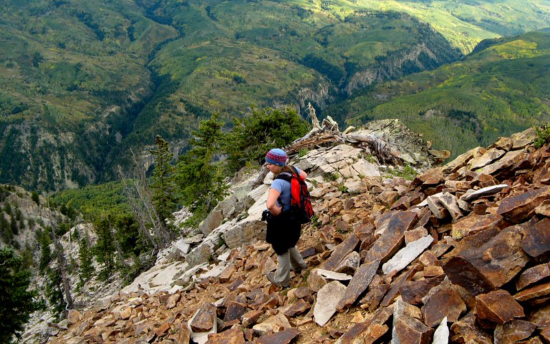
Megan on the trail.
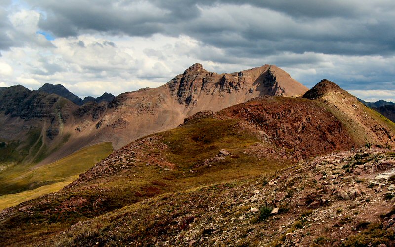
Belleview Mountain from Frigid Air Pass.
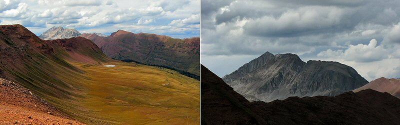
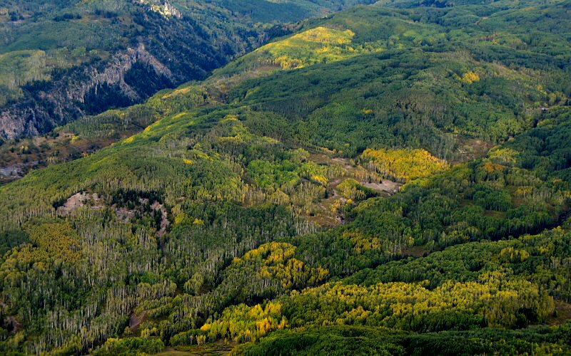
The view to the north, over Fravert Basin, and a closer look at Snowmass Mountain from Frigid Air Pass.
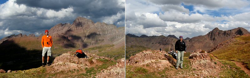
Us at Frigid Air Pass.
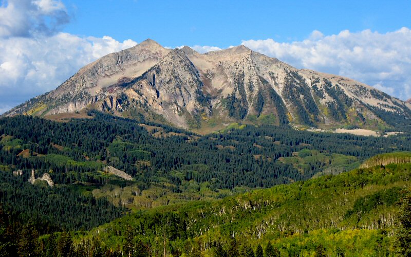
» marcellina mountain
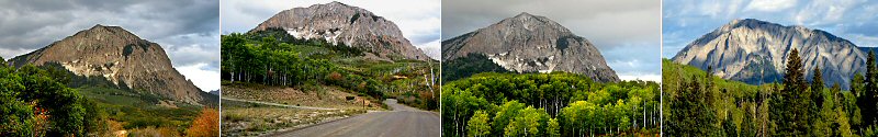
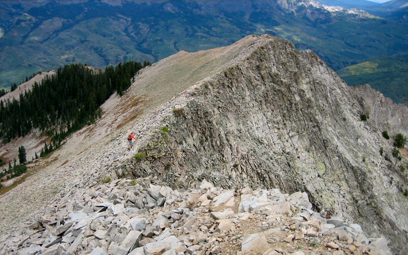
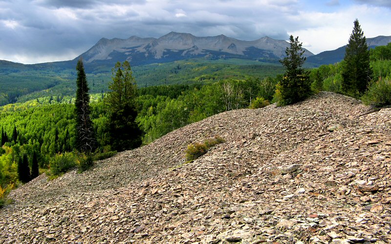
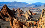
If you have ever driven through the Kebler Pass area (outside Crested Butte), you will most likely remember Marcellina Mountain. It stands alone and towers 3,000 feet above Kebler Pass Road, rising at an aburpt, nearly vertical angle. It's face is rocky and filled with jagged ridges and ruts. While it only rises to 11,348 feet, it still ranks as Colorado's 30th most prominent peak. We first laid eyes upon Marcellina from the summit of Mount Owen in 2005 and it soon became the most alluring climb in the area. The only problem was the lack of a trail. Fortunately, I found info on a non-technical route on SummitPost.org and with a newly purchased GPS, it seemed completely doable. So, we did it. Nike would be proud.
When we reached the base of the mountain and started the climb we ran into some pretty thick vegetation. We knew there was a rock slide somewhere that would make the climb easier but we couldn't see it. Then we heard the rumble of some large rocks shifting nearby. Ah ha! we were close to the rock slide...but what animal was already on it? It had to be big because the rocks it was shifting were big. I called out to see if it was a person but there was no answer. There were lots of cows in the area, but no cow in it's right mind would start hiking up the mountain. It'd have to be some mad cow, with a disease. We, especially Megan, worried that it could be a Mountain Lion or Bear. A Mountain Lion, I figured, would be more stealthy. It could have also been an Elk, Deer, or Mountain Goat. We headed away from the noise, just in case, and Megan was ready to head right back to the car. I can understand this, but I figured that the animal already knew we were there so if it wanted to eat us then we were already screwed and hiking back to the distant car wouldn't help much. We never saw or heard a trace of another animal for the rest of the hike, until we were back down at the base of the mountain and saw some large dark splotches in the grass. Could have been bears, but no, this time they were in fact cows for sure. Cows aren't too dangerous I don't think, but man do they like to stare, I felt very self-concious walking by them. Hope my hair looked okay.
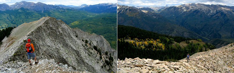
Anyway, once you get to the base of the mountain via some faint game trails, it's a long and steep climb up a couloir. After about 2,000 feet of vertical you get onto the ridge and the remainder of the hike to the summit feels like a (relative) breeze with constant panoramic views.
If you have ever driven through the Kebler Pass area (outside Crested Butte), you will most likely remember Marcellina Mountain. It stands alone and towers 3,000 feet above Kebler Pass Road, rising at an aburpt, nearly vertical angle. It's face is rocky and filled with jagged ridges and ruts. While it only rises to 11,348 feet, it still ranks as Colorado's 30th most prominent peak. We first laid eyes upon Marcellina from the summit of Mount Owen in 2005 and it soon became the most alluring climb in the area. The only problem was the lack of a trail. Fortunately, I found info on a non-technical route on SummitPost.org and with a newly purchased GPS, it seemed completely doable. So, we did it. Nike would be proud.
When we reached the base of the mountain and started the climb we ran into some pretty thick vegetation. We knew there was a rock slide somewhere that would make the climb easier but we couldn't see it. Then we heard the rumble of some large rocks shifting nearby. Ah ha! we were close to the rock slide...but what animal was already on it? It had to be big because the rocks it was shifting were big. I called out to see if it was a person but there was no answer. There were lots of cows in the area, but no cow in it's right mind would start hiking up the mountain. It'd have to be some mad cow, with a disease. We, especially Megan, worried that it could be a Mountain Lion or Bear. A Mountain Lion, I figured, would be more stealthy. It could have also been an Elk, Deer, or Mountain Goat. We headed away from the noise, just in case, and Megan was ready to head right back to the car. I can understand this, but I figured that the animal already knew we were there so if it wanted to eat us then we were already screwed and hiking back to the distant car wouldn't help much. We never saw or heard a trace of another animal for the rest of the hike, until we were back down at the base of the mountain and saw some large dark splotches in the grass. Could have been bears, but no, this time they were in fact cows for sure. Cows aren't too dangerous I don't think, but man do they like to stare, I felt very self-concious walking by them. Hope my hair looked okay.
Anyway, once you get to the base of the mountain via some faint game trails, it's a long and steep climb up a couloir. After about 2,000 feet of vertical you get onto the ridge and the remainder of the hike to the summit feels like a (relative) breeze with constant panoramic views.
Marcellina Mountain from a few different angles.
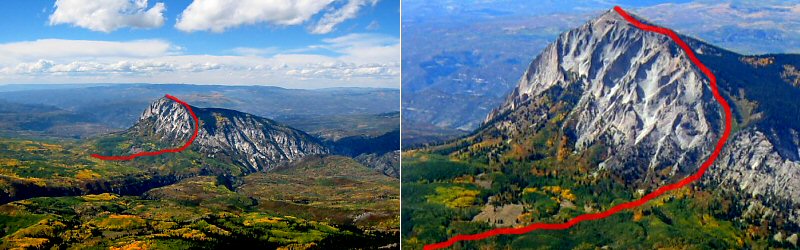
The red line highlights our approximate route.
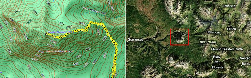
Our GPS tracks and a satellite view of the area (Marcellina is in the red box). According to my GPS, the hike was 7.2 miles with nearly 3,000 feet of elevation gain.
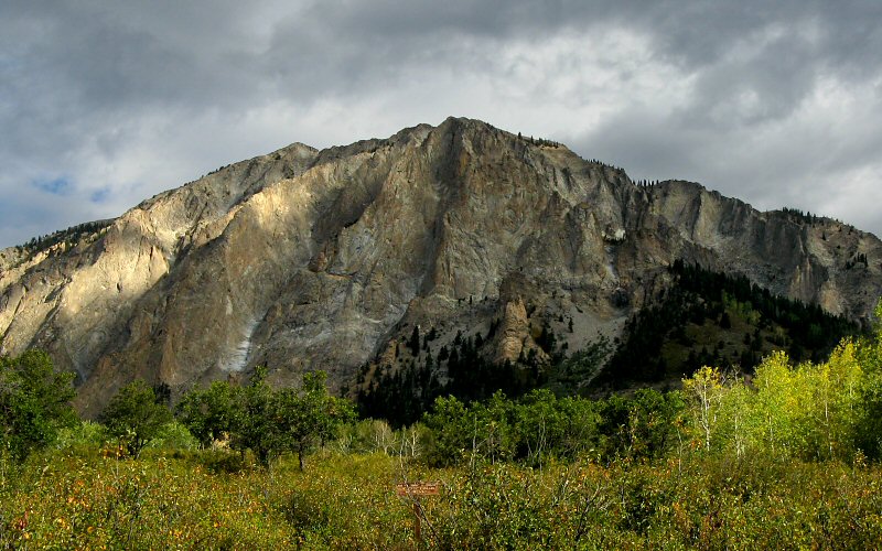
The view of Marcellina Mountain as we started our hike.
Looking back at the steep couloir we climbed. This couloir is the only spot on the south side of the mountain that isn't a cliff. The east side is surrounded by Dark Canyon so the only other way up the mountain that doesn't require some serious rock climbing is to start at the northwest side near Erickson Springs (I have heard that this is a more gradual route).
Me hiking the ridge (Photo by Megan, from the summit).
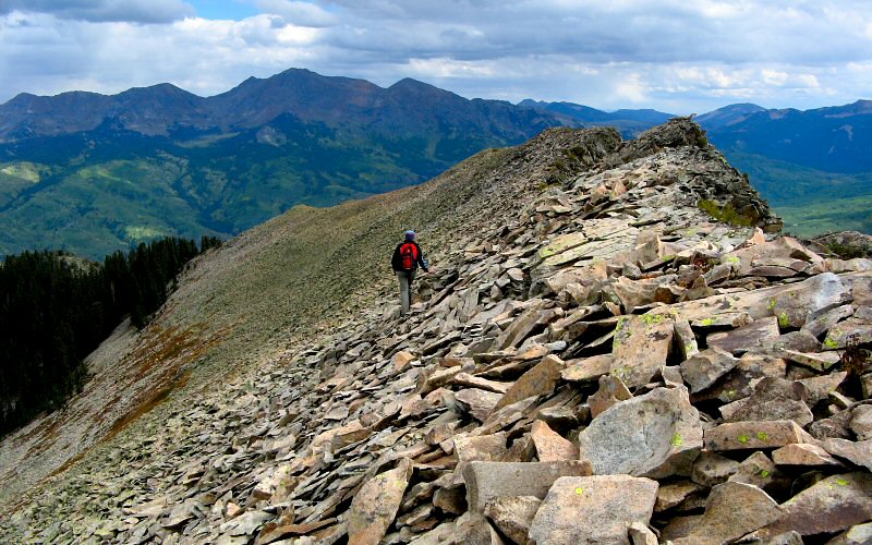
Megan hiking the summit ridge of Marcellina Mountain.
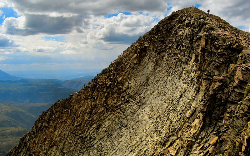
Megan leaving the summit. If I had a better zoom I think you could see a tear in her eye.
Some of the many beautiful mountains visible from the top: The Raggeds, The Beckwiths, Capitol Peak, and Augusta Mountain.
East Beckwith from the base of Marcellina.
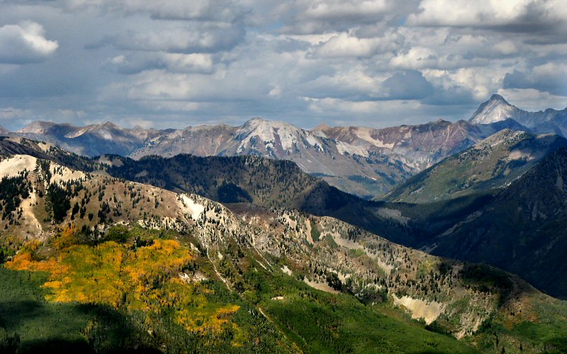
A yellow patch on Ragged Mountain, and the distant Capitol Peak.
Left: Me enjoying the summit view (Photo by Megan). Right: Megan walking the ridge.
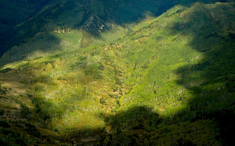
Changing aspens west of Dark Canyon as seen from Marcellina.
Megan at the end of the ridge. Getting from the ridge back to the couloir was a bit tricky, we climbed along a ledge that dropped off at least 20 feet but there were secure places to hold on to. I'm sure we could have found an easier way but it was a fun challenge.
The hump in the foreground is the northeast side of Marcellina. Chair and Ragged Mountains are in the background.
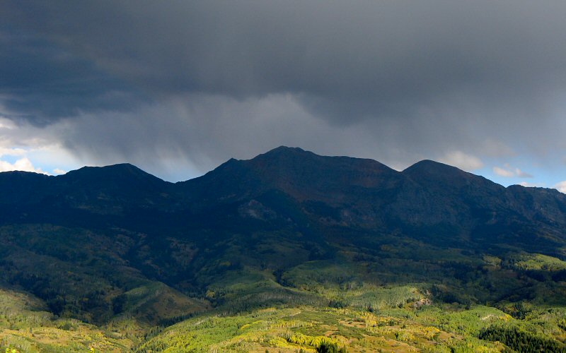
Storms over the Ruby Range.
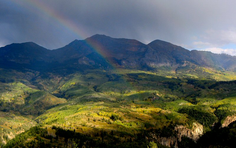
Rainbow in front of Mount Owen. There were actually two full rainbows but we weren't in a good spot to photograph it.

Megan above it all.
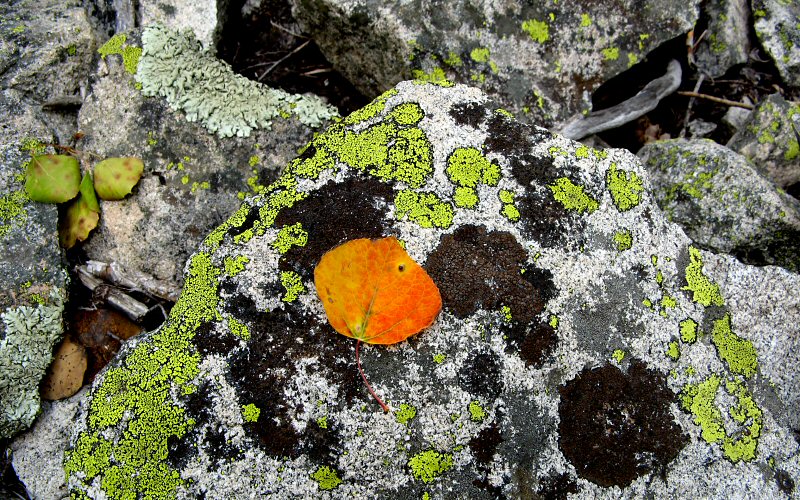
Aspen leaf.
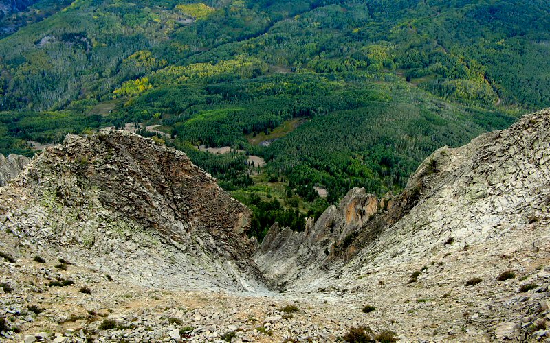
Looking down the face of Marcellina Mountain. Looks like the perfect spot for a Slip 'n Slide.
Some light breaking through the clouds.
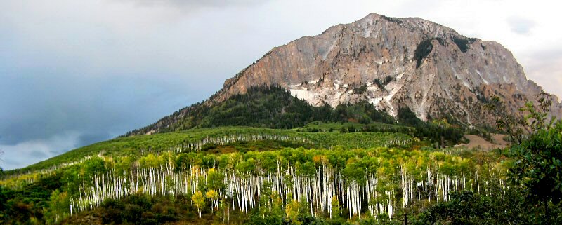
» three lakes trail
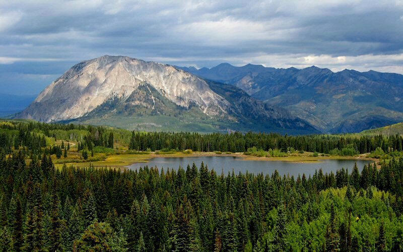
Marcellina Mountain from the Three Lakes Trail.
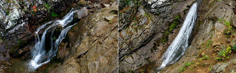
A multi-tiered waterfall simply named "The Falls".
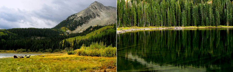
Left: East Beckwith Mountain. Right: Lost Lake.
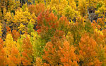
» kebler pass
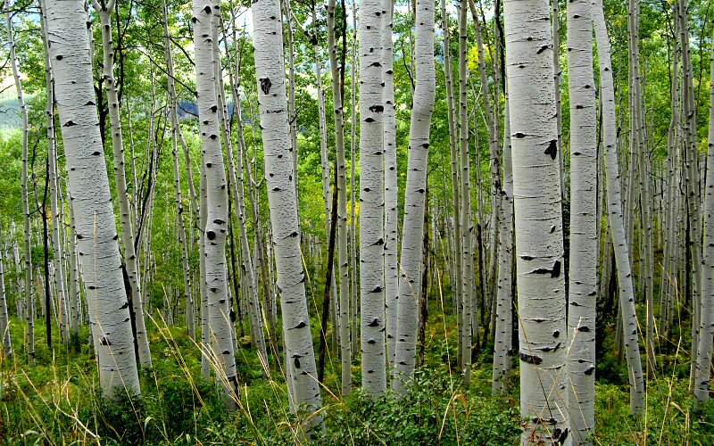
Aspens.
East Beckwith.
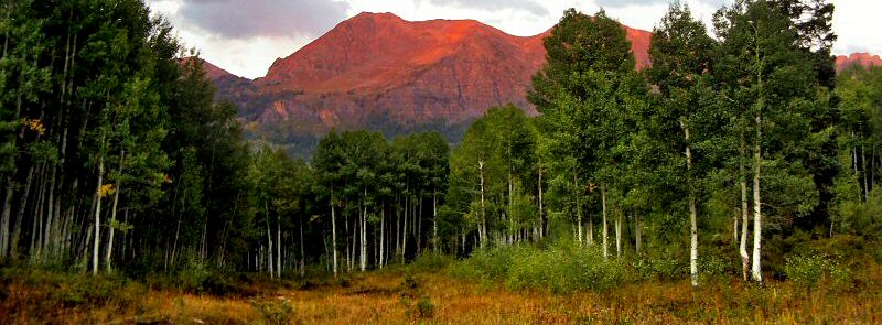
The Ruby Range lives up to its name at sunset.
Marcellina.
» gothic
Left: Gothic Mountain from Gothic Road. Right: Emerald Lake.
» crested butte
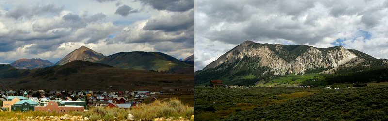
Left: Near downtown. Right: South side of Mount Crested Butte.
» ohio pass
Left: Part of the Anthracite Range from Ohio Pass. Right: Aspens.
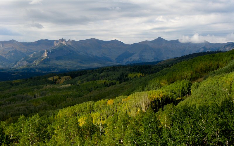
The Castles from Ohio Pass.
» mcclure pass
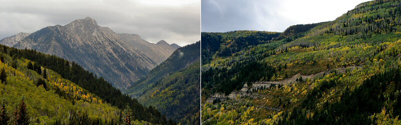
Left: Ragged Peak from below McClure Pass. Right: Below McClure Pass.
» twin lakes

Twin Peaks and Twin Lakes on a stormy day.
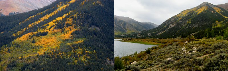
Left: Changing aspens. Right: Parry Peak.
» rocky mountain national park
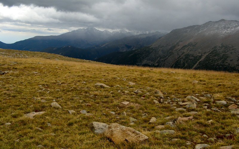
Longs Peak about to be enveloped in a storm.
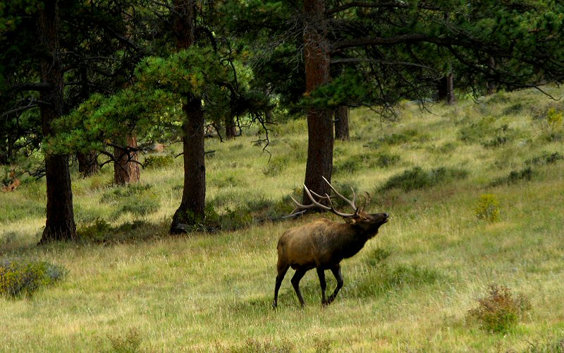
Elk (Photo by Megan).
» all photo reports from colorado
Roxborough State Park, Colorado
March 15, 2009 A few photos from a quick stop at Roxborough State Park near Denver. 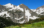
Denver, Colorado
July 1 - 5, 2008 Staying in Denver and checking out the Indian Peaks, Mt. Evans, and Rocky Mountain NP. 
Great Sand Dunes, Etc, Colorado
October 19 - 22, 2006 Checking out the Great Sand Dunes National Park, Fraser, and hiking up Green Mountain outside Boulder. 
|
Crested Butte, Colorado
September 13 - 18, 2007 Hiking up Marcellina Mountain, to Frigid Air Pass, and a few other places, mostly in the Crested Butte area. 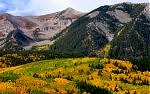
Colorado Fall
September 23 - 28, 2005 Hiking in Crested Butte, Aspen, and Rocky Mountain National Park. 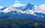
|
Copyright 1995- Lars Jensen | randomspace@umich.edu |