Pictured Rocks in Summer, Michigan
August 30 - September 2, 2007
» miners beach to grand portal point
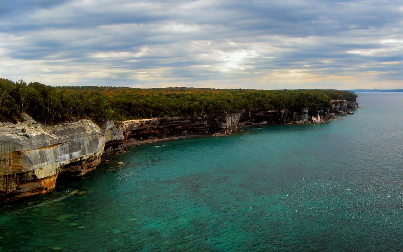
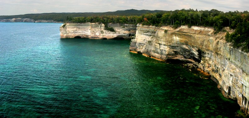
On Friday we hiked from Miners Beach to Grand Portal Point which is about 13 miles round-trip according to my GPS. Despite visiting Pictured Rocks several times, I had never hiked this section of the Lakeshore Trail so it was nice to see some new scenery. Lake Superior was actually reasonably warm so I got to go for a swim on Mosquito Beach which was very nice.
On Friday we hiked from Miners Beach to Grand Portal Point which is about 13 miles round-trip according to my GPS. Despite visiting Pictured Rocks several times, I had never hiked this section of the Lakeshore Trail so it was nice to see some new scenery. Lake Superior was actually reasonably warm so I got to go for a swim on Mosquito Beach which was very nice.
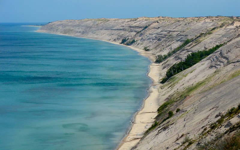
The view towards Miners Beach.
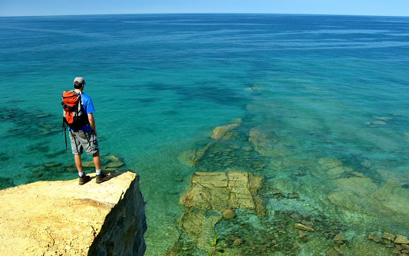
Looking southwest from Indian Head.
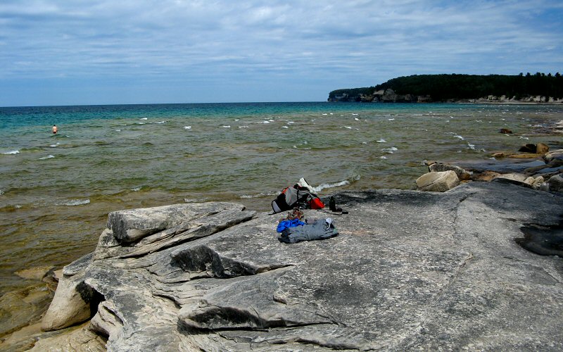
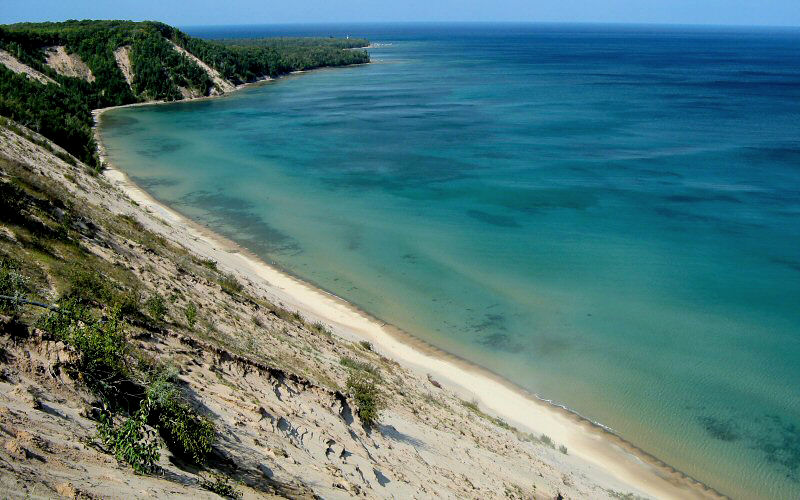
Looking towards Mosquito Beach.
Me swimming at Mosquito Beach (Photo by Megan).
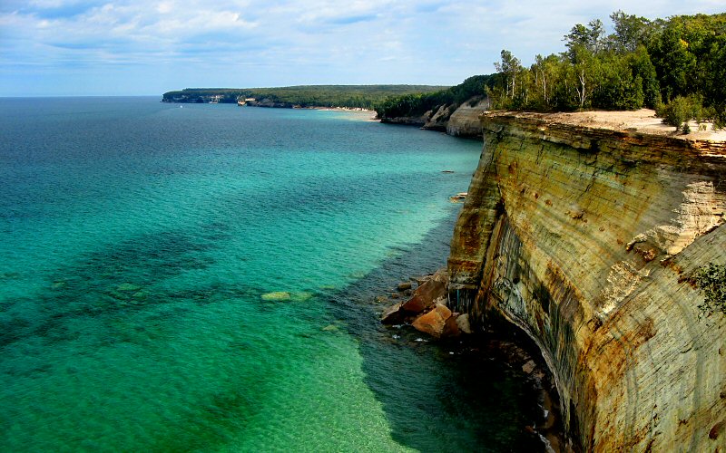
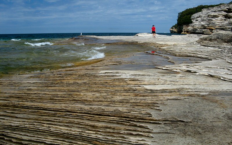
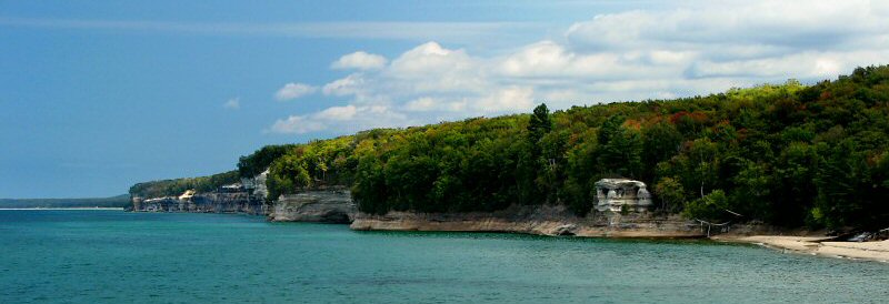
The view east from Grand Portal Point.
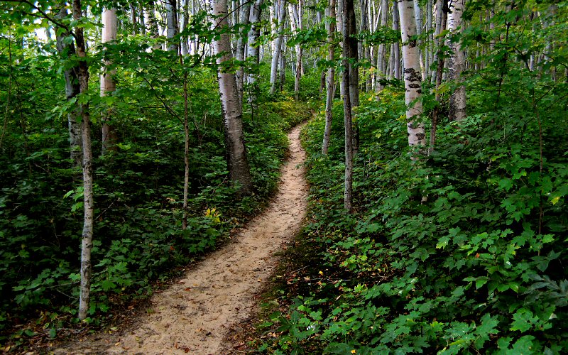
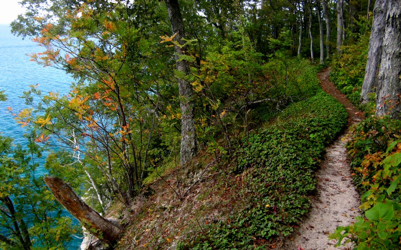
Trail.

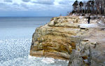
Cliffs.
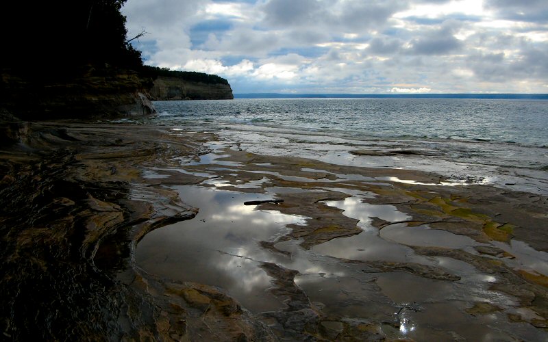
Pools near Mosquito Beach.
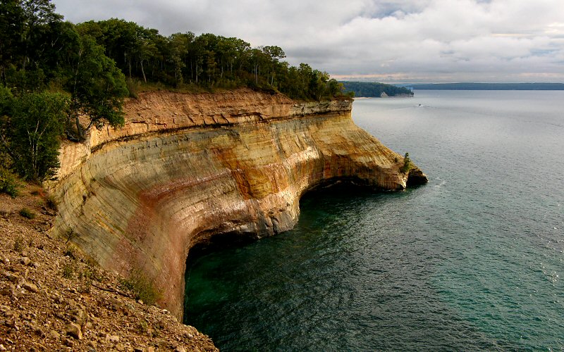
Convex cliffs.
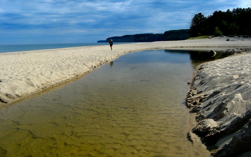
Miners River crossing Miners Beach on its way to Lake Superior.
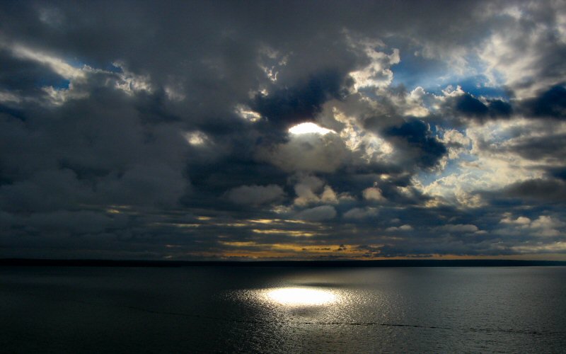
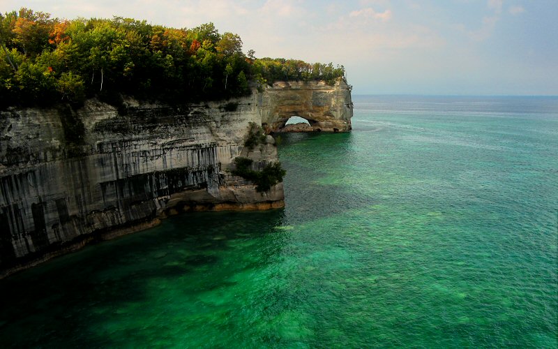
Hole in the sky.
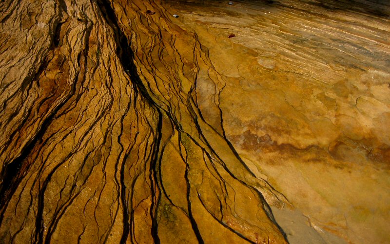
Patterns in the rock layers (Photo by Megan).
Indian Head.
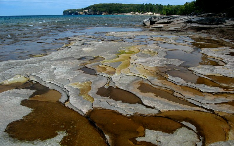
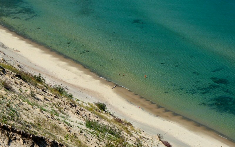
Pools near Mosquito Beach.
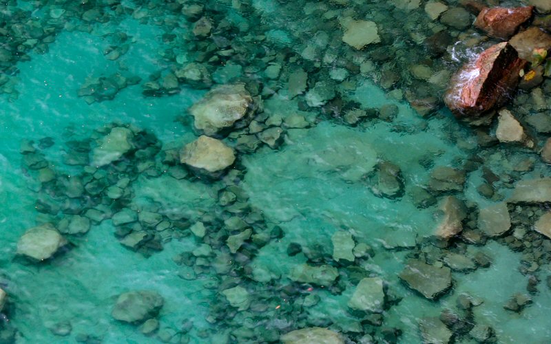
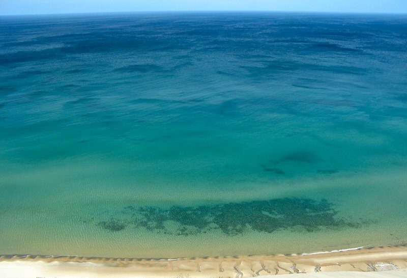
Rocks under water.

Miners Castle.
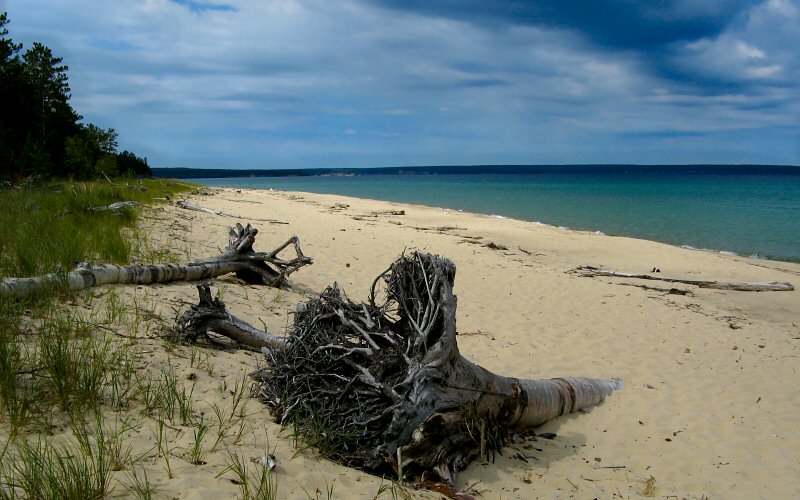
Beached.
Megan walking near Mosquito Beach.
A hint of fall.
» little beaver lake to grand portal point
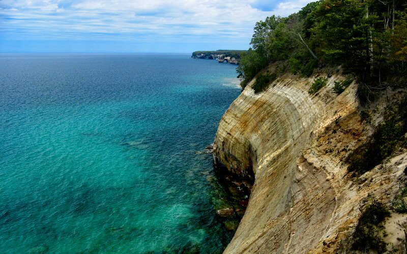
On Saturday we hiked from Little Beaver Lake to Grand Portal Point which is about 14 miles round-trip according to my GPS. The cliff views are not quite as dramatic between Twelvemile Beach and Spray Falls, but the trail generally stays close to the cliff edge rather than meandering deep into the forest as other sections of the Lakeshore Trail tend to do, so overall, I'd say it's one of the nicest spots to hike. There are some nice coves just west of Twelvemile Beach which I explored via swimming. It's interesting to see the little sea caves that Lake Superior has carved into the cliffs and to watch the water splash around in them. Unlike some other areas of the Great Lakes whose warming waters seem to be increasingly clouded by algae, Lake Superior is still perfectly clear here.
This was a holiday weekend and although we still didn't see many people on the hiking trails, there was a lot of boat traffic and even several motorboats docked on Chapel Beach.
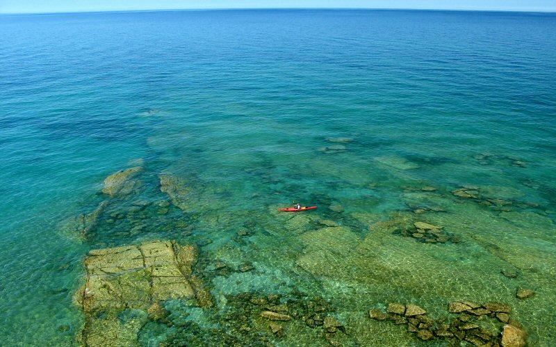
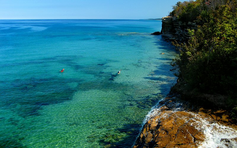
Kayaker.
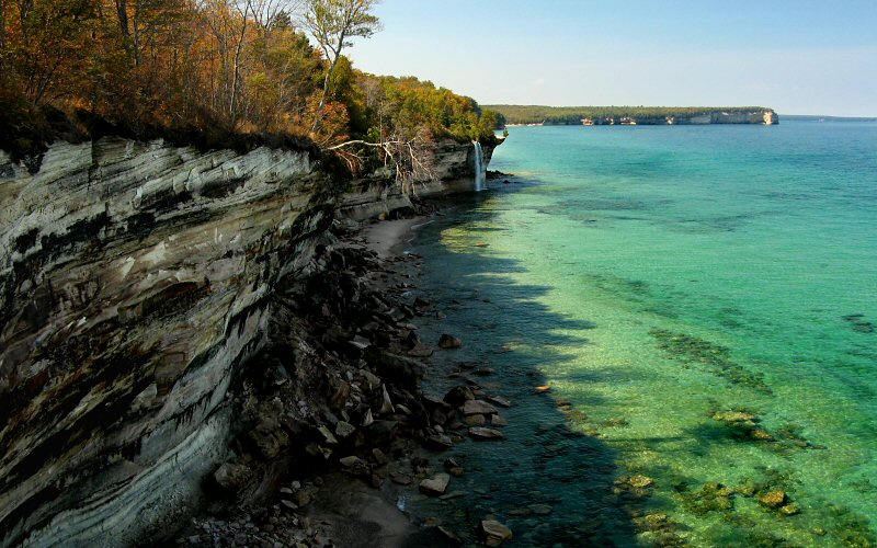
Spray Falls.
Where Spray Creek falls off the cliff (creating Spray Falls).
Gazing over Lake Superior from the Spray Falls viewpoint (Photo by Megan).
Looking northwest of Chapel Beach.
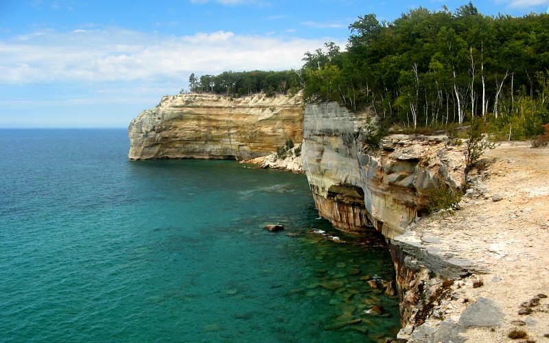
Grand Portal Point as seen from the Northeast.
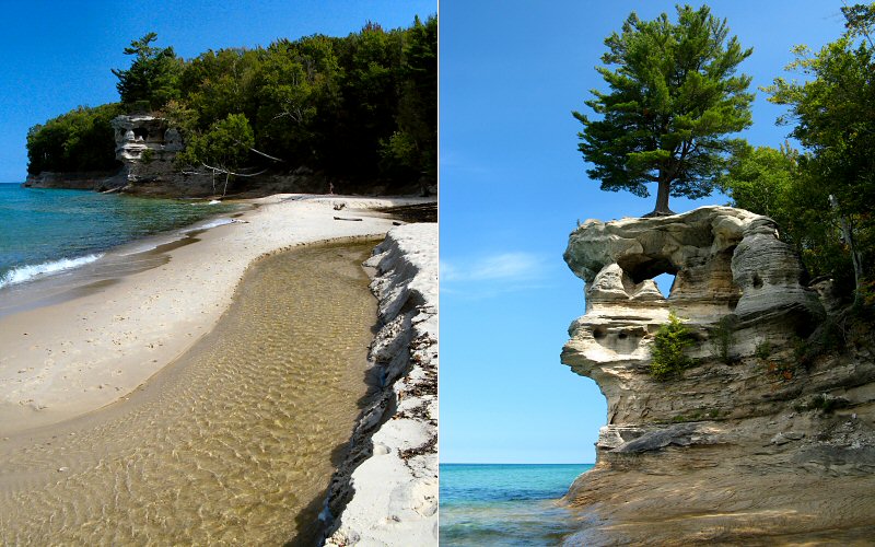
Chapel Creek flowing into Lake Superior, and Chapel Rock.
» grand sable dunes
Log Slide is a really impressive viewpoint that can be reached via a short hike. You get a great panoramic view of AuSable Point, Grand Sable Dunes, and the waters of Lake Superior.
Log Slide is a really impressive viewpoint that can be reached via a short hike. You get a great panoramic view of AuSable Point, Grand Sable Dunes, and the waters of Lake Superior.
Looking west from Log Slide.
Looking east from Log Slide.
Straight ahead.
People swimming far below.
» au sable point, 4 miles
It's a nice hike from the Hurricane River to AuSable point. If you hike on the beach you will pass a couple shipwrecks on the way to the lighthouse.
It's a nice hike from the Hurricane River to AuSable point. If you hike on the beach you will pass a couple shipwrecks on the way to the lighthouse.
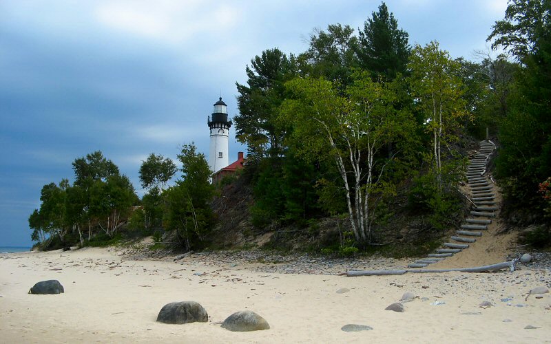
Au Sable Point Lighthouse.
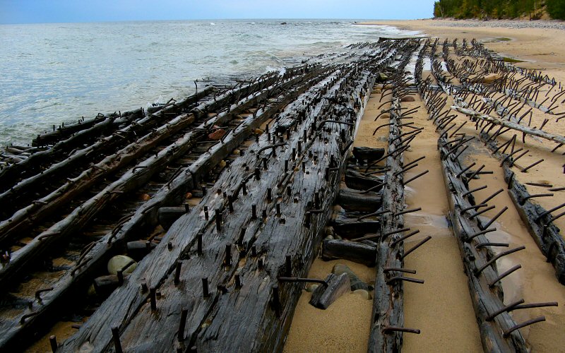
One of two shipwrecks on the way to Au Sable Point.
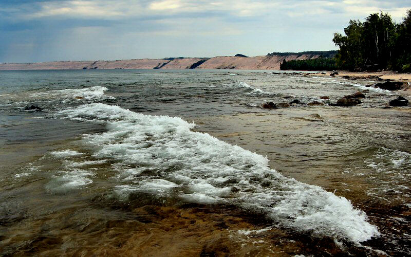
Grand Sable Dunes from Au Sable Point.
» mackinac straights
We spent our first night, Thursday, in St. Iganace before driving the rest of the way to Pictured Rocks. On our drive home it was very windy and there were tons of whitecaps on Lake Michigan.
We spent our first night, Thursday, in St. Iganace before driving the rest of the way to Pictured Rocks. On our drive home it was very windy and there were tons of whitecaps on Lake Michigan.
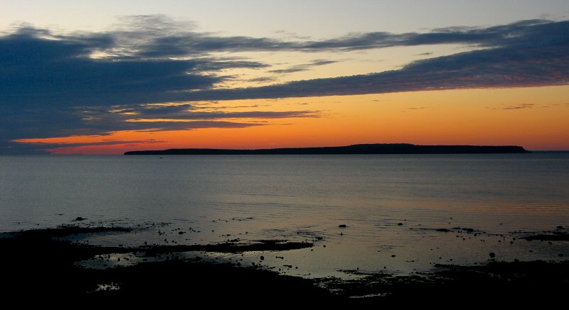
Sunrise over Macinac Island from our hotel room in St. Ignace.
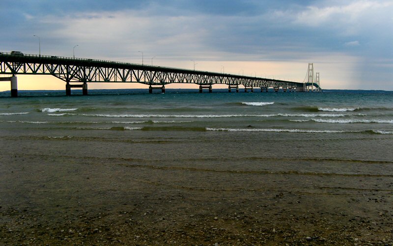
The Mackinac Bridge on a very windy day.
» all photo reports from michigan's upper peninsula
Thinking about traveling to Pictured Rocks yourself? You might want to read my guide to Pictured Rocks.
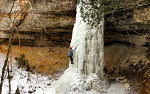
Ice Climbing, Michigan
March 4 - 5, 2011 Ice Climbing at Pictured Rocks with a side trip to Miners Castle. 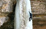
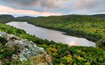
The Upper Peninsula, Michigan
October 2 - 11, 2009 Enjoying fall in the Upper Peninsula from Pictured Rocks to the Porcupine Mountains to the Keweenaw Peninsula. 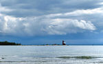
Mackinac Island, Michigan
October 3, 2009 Spending a short day on the island and enjoying the views, even without the influence of fudge. 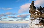
Pictured Rocks, Michigan
March 7 - 9, 2008 Skiing & snowshoeing in the Miners Castle & Grand Sable Dunes areas. We also checked out the ice in Grand Marais & Mackinac Straits. 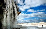
Pictured Rocks, Michigan
March 17, 2007 Hiking along the ice shelf from Twelvemile Beach to Spray Falls. 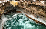
Pictured Rocks, Michigan
January 27, 2007 Skiing & hiking the Chapel Loop in Pictured Rocks National Lakeshore on a stormy day. 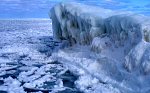
Pictured Rocks, Michigan
March 2 - 4, 2006 Ice climbing and skiing in Pictured Rocks National Lakeshore. 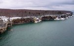
Pictured Rocks, Michigan
January 7, 2006 A backcountry ski trip to the remote lakeshore cliffs of Pictured Rocks National Lakeshore. 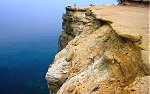
Pictured Rocks, Michigan
July 3 - 4, 2005 Hiking in Pictured Rocks National Lakeshore, and checking out some of the other sights in the area. |
Pictured Rocks, Michigan
February 25 - 26, 2011 Backpacking the Chapel Loop in winter, with a side trip to Spray Falls. 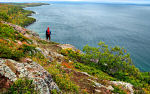
Bare Bluff, Michigan
October 8, 2009 A fall hike to Bare Bluff, one of the more scenic areas of the Keweenaw Peninsula. 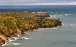
Pictured Rocks, Michigan
October 4 - 11, 2009 Some stormy fall weather along the Pictured Rocks lakeshore. 
Pictured Rocks, Michigan
August 30 - September 2, 2007 Back to the Great Lakes with a rare summer visit to Pictured Rocks to see what it all looks like when it's green. 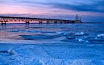
Mackinac Straits & Pictured Rocks, Michigan
March 16 - 18, 2007 Skiing to Miners Castle, lingering in the Straits of Mackinac, and some other stuff. 
Pictured Rocks in Fall, Michigan
October 7, 2006 Hiking the Chapel Loop & checking out other sights like Spray Falls, Miners Castle, Miners Beach, Munising Falls, Grand Sable Dunes, etc. 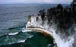
Pictured Rocks, Michigan
February 19 - 20, 2006 Skiing & snowshoeing the Pictured Rocks backcountry. Areas visited include: Miners Castle, Miners Beach, Twelvemile Beach, and Spray Falls. 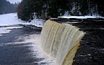
The Upper Peninsula, Michigan
December 26 - 28, 2005 Winter pictures from Tahquamenon Falls State Park and Pictured Rocks National Lakeshore. |
Copyright 1995- Lars Jensen | randomspace@umich.edu |