The Thumb, Michigan
September 6, 2009
» port austin
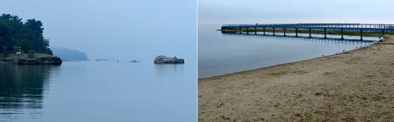
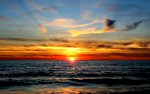
We left Ann Arbor at 6am en route to Port Austin at the tip of Michigan's thumb. It was a foggy morning that was made especially dramatic with a colorful sunrise. The mist hung in the trees and as we got close to Lake Huron the fog was so dense on the road that we could hardly see 20 feet. We still arrived in Port Austin right on time at 9am and had our kayaks rented in a few minutes. Surprisingly, despite being Labor Day weekend, we were the first people to rent a kayak and the only ones on the beach. The water was incredibly calm and the fog had burned off the lake except along the distant horizon.
When I climbed into my kayak I realized I had forgotten to take off my flip-flops in favor of more suitable footwear but at that point I was too excited to get on the water to run back to my car. For kayaking it didn't matter much but climbing around on the rocks in flip-flops definitely was not ideal. At one point Mike had to help me back in my boat like I was a feeble old man. We saw one kayaker with more inappropiate shoes than me, a girl with shiny silver high heeled sandals.
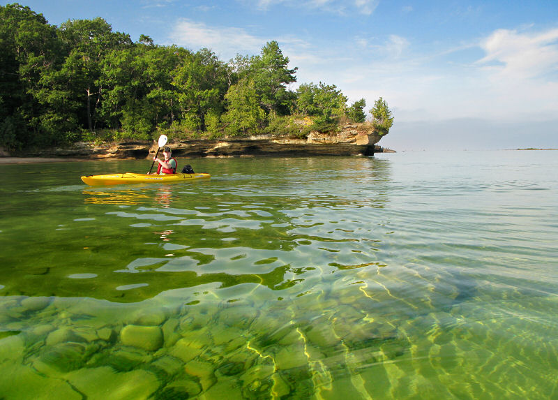
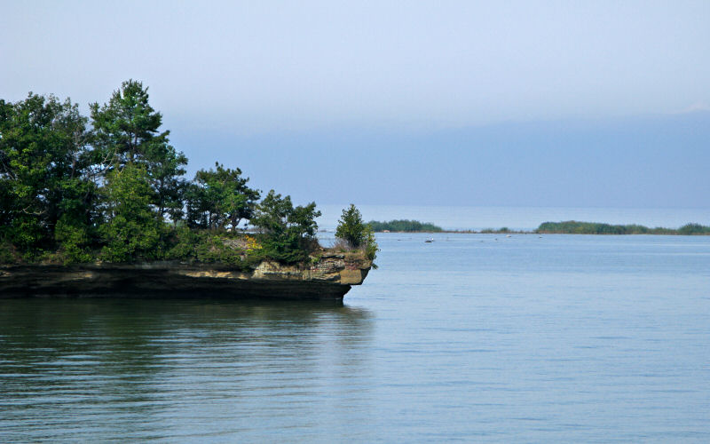
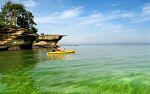
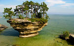
As we started out we were amazed at the calmness of the lake and that we had it all to ourselves. We headed east towards Turnip Rock and were able to pass Bird Island on the south side. This area has lots of shallow water but lake levels were up a bit this year so we didn't have any problem paddling through. The land around Turnip Rock is privately owned which means that the only way to reach it when the lake is not frozen is by boat. Since the cliffs are a unique geological formation in lower Michigan it would be nice to see them preserved in a publicly accessible state park. However, the private ownership means the cliffs are not overrun with people since most people don't know about them or how to get there. Anyway, there was no one around when we got to Turnip Rock besides a few people walking along the tops of the cliffs. The water was shallow and crystal clear but the rocky lake floor was hard to walk on with my flip-flops. We had a bite to eat and contemplated swimming for a bit but figured we should start heading to the lighthouse while the water was calm.
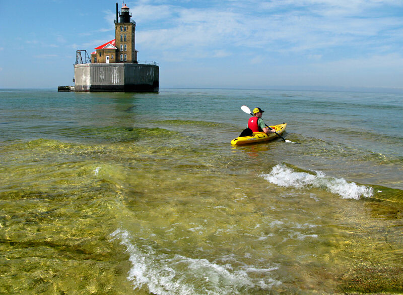
The lighthouse is at the end of a long, slightly submerged rock reef which extends out about 1.25 miles into Lake Huron. The reef makes for unpredictable waves so you need perfectly calm water to make it out there safely. Right near the lighthouse there is a very shallow spot so we got out of our Kayaks purely for the novelty of it. Then some small waves started breaking over the reef and we figured we had better get back in our boats. The danger of this area may not be obvious but if you tipped your kayak and could not get back in (not easy in open water) you would be in a tough spot and better be a good swimmer.
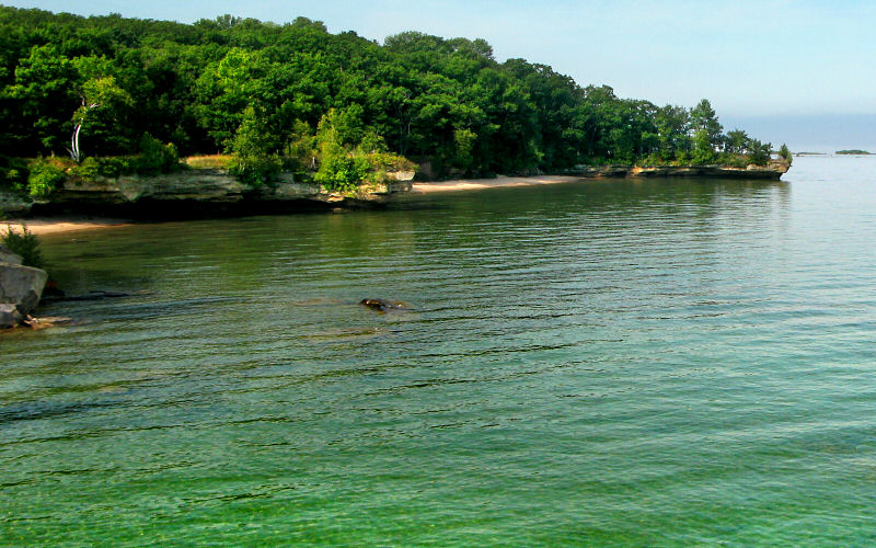
After hanging out at the lighthouse for a bit we started the long, 2 mile, paddle back to the Port Austin harbor. It was a warm sunny day so we worked up quite a sweat and couldn't wait to take a swim at the beach. After a quick swim, we got back in our Kayaks and paddled west towards Flat Rock. This area was much more congested with people hanging out on the rocks and boating, although the shallow water keeps motorboats from getting close to shore in most places.
We hung out on Flat Rock, ate some food, and then headed back. At this point the wind was starting to kick up some waves which made for a fun paddle back. We then drove to the Pointe aux Barques lighthouse for a quick look, and then on to Bay City to gorge ourselves with pizza.
We left Ann Arbor at 6am en route to Port Austin at the tip of Michigan's thumb. It was a foggy morning that was made especially dramatic with a colorful sunrise. The mist hung in the trees and as we got close to Lake Huron the fog was so dense on the road that we could hardly see 20 feet. We still arrived in Port Austin right on time at 9am and had our kayaks rented in a few minutes. Surprisingly, despite being Labor Day weekend, we were the first people to rent a kayak and the only ones on the beach. The water was incredibly calm and the fog had burned off the lake except along the distant horizon.
When I climbed into my kayak I realized I had forgotten to take off my flip-flops in favor of more suitable footwear but at that point I was too excited to get on the water to run back to my car. For kayaking it didn't matter much but climbing around on the rocks in flip-flops definitely was not ideal. At one point Mike had to help me back in my boat like I was a feeble old man. We saw one kayaker with more inappropiate shoes than me, a girl with shiny silver high heeled sandals.
As we started out we were amazed at the calmness of the lake and that we had it all to ourselves. We headed east towards Turnip Rock and were able to pass Bird Island on the south side. This area has lots of shallow water but lake levels were up a bit this year so we didn't have any problem paddling through. The land around Turnip Rock is privately owned which means that the only way to reach it when the lake is not frozen is by boat. Since the cliffs are a unique geological formation in lower Michigan it would be nice to see them preserved in a publicly accessible state park. However, the private ownership means the cliffs are not overrun with people since most people don't know about them or how to get there. Anyway, there was no one around when we got to Turnip Rock besides a few people walking along the tops of the cliffs. The water was shallow and crystal clear but the rocky lake floor was hard to walk on with my flip-flops. We had a bite to eat and contemplated swimming for a bit but figured we should start heading to the lighthouse while the water was calm.
The lighthouse is at the end of a long, slightly submerged rock reef which extends out about 1.25 miles into Lake Huron. The reef makes for unpredictable waves so you need perfectly calm water to make it out there safely. Right near the lighthouse there is a very shallow spot so we got out of our Kayaks purely for the novelty of it. Then some small waves started breaking over the reef and we figured we had better get back in our boats. The danger of this area may not be obvious but if you tipped your kayak and could not get back in (not easy in open water) you would be in a tough spot and better be a good swimmer.
After hanging out at the lighthouse for a bit we started the long, 2 mile, paddle back to the Port Austin harbor. It was a warm sunny day so we worked up quite a sweat and couldn't wait to take a swim at the beach. After a quick swim, we got back in our Kayaks and paddled west towards Flat Rock. This area was much more congested with people hanging out on the rocks and boating, although the shallow water keeps motorboats from getting close to shore in most places.
We hung out on Flat Rock, ate some food, and then headed back. At this point the wind was starting to kick up some waves which made for a fun paddle back. We then drove to the Pointe aux Barques lighthouse for a quick look, and then on to Bay City to gorge ourselves with pizza.
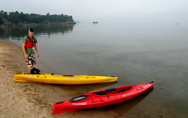
Our kayaks at the starting point, Port Austin Beach. The water was nice and glassy and no one was around.
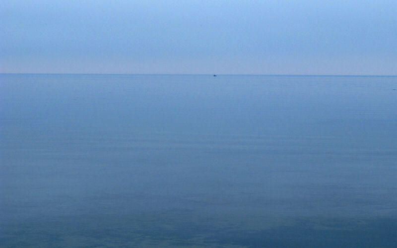
Actually, there was one other boat on the water.
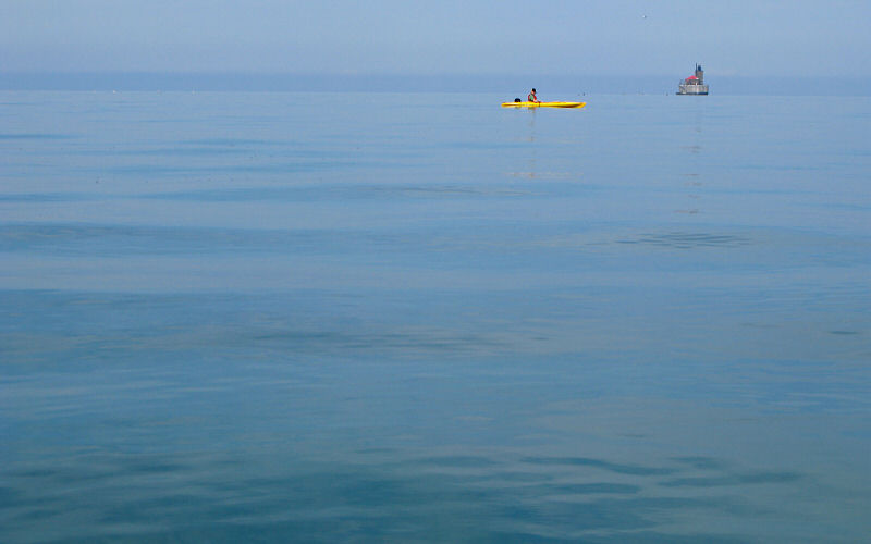
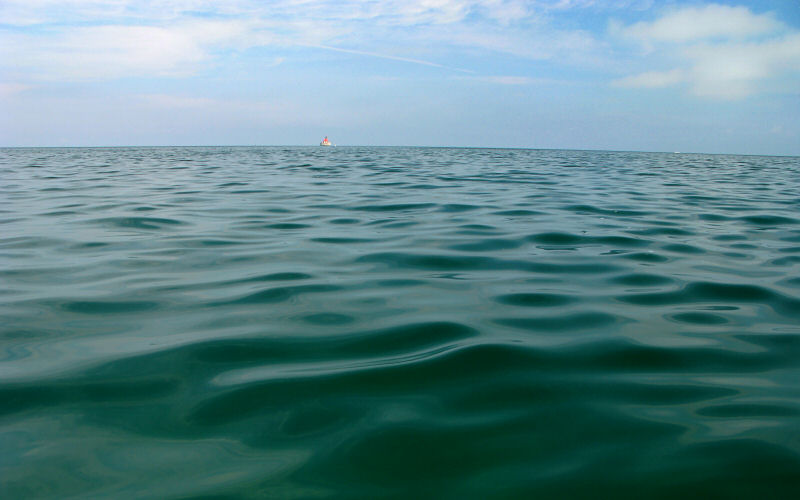
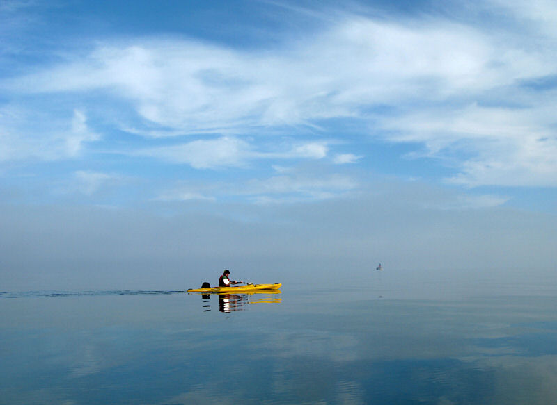
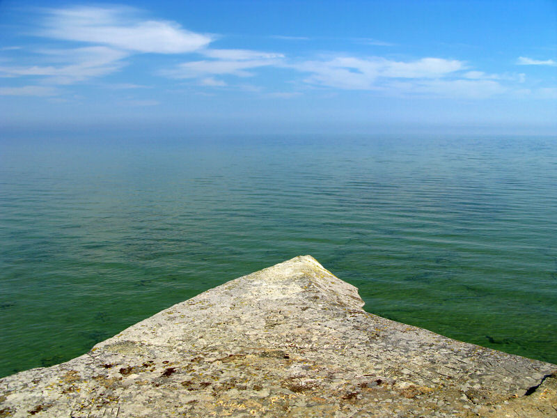
Floating. The water and sky merged together but if you look closely, you can see the 90 foot Port Austin Reef Light on the distant horizon.
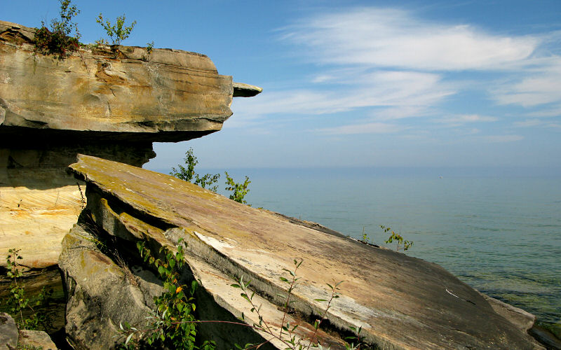
At the start of the cliffs.
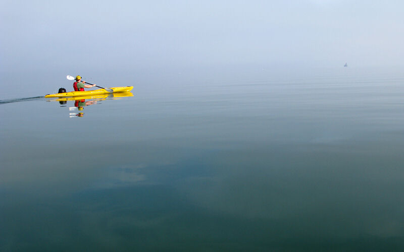
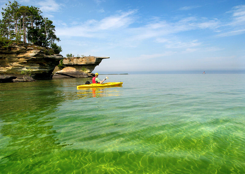
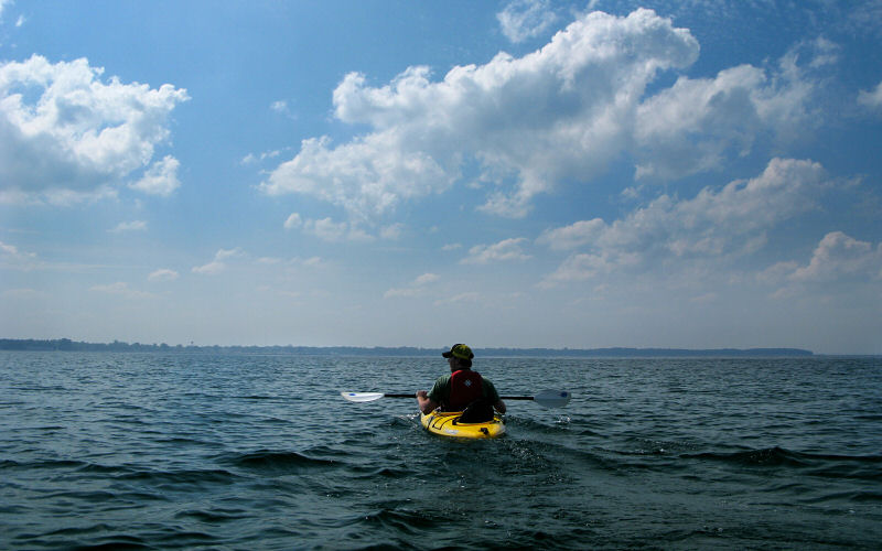
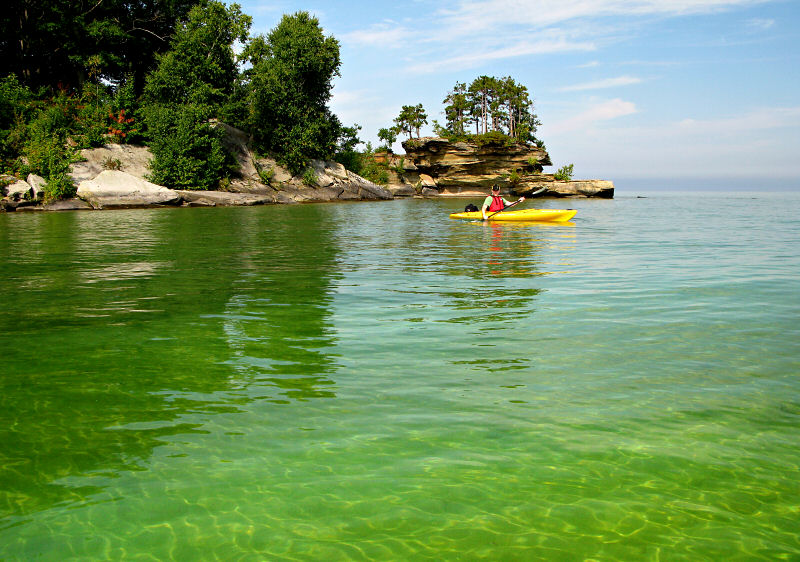
Mike and the distant Port Austin Reef Light.
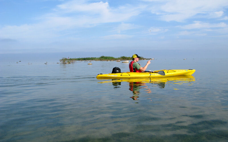
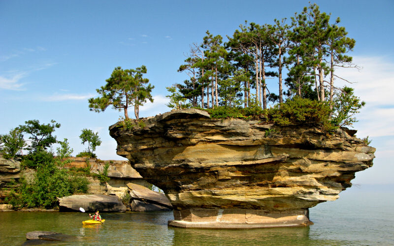
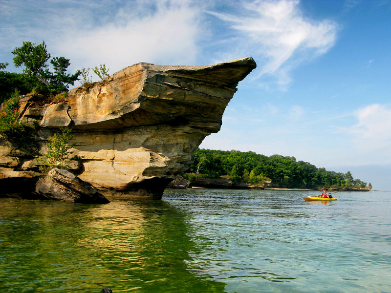
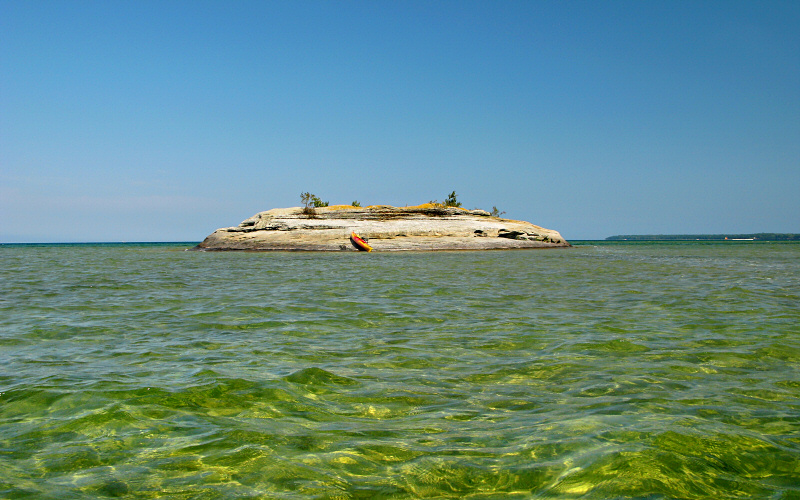
The Thumbnail, Turnip Rock, and the distant lighthouse.

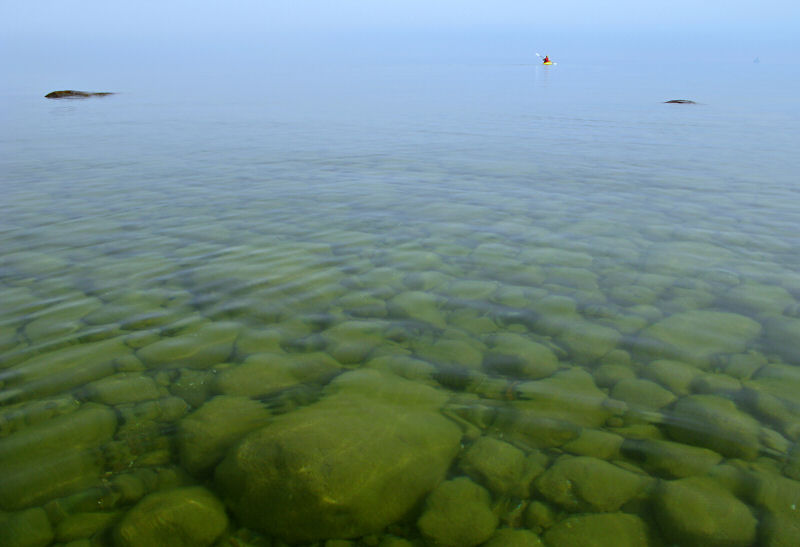
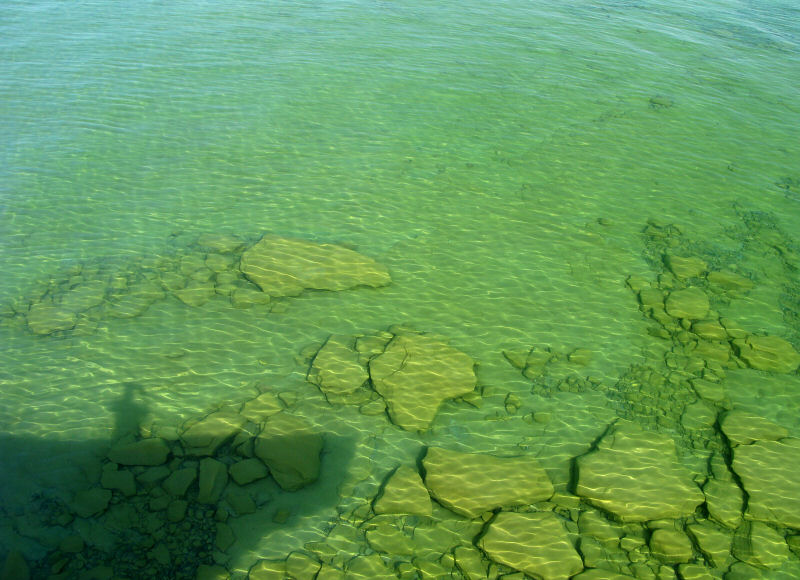
Shallow water around Turnip Rock.
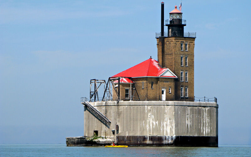
Mike below the lighthouse. The platform is 29 feet high and the tower is 60 feet tall for a total height of 89 feet above the water. At this point we are about 1.25 miles from land and 2.5 miles from the harbor at Port Austin.
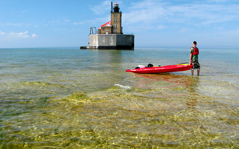
Still, there is a shallow reef nearby where the water is only ankle deep. This, of course, is why the lighthouse was built.
This is what the lighthouse looks like from land.
And this is what the land looks like from the lighthouse.
Waves breaking over the reef near the lighthouse.
Passing by the south side of Bird Island.
Near Port Austin Harbor with Mike in the distance.
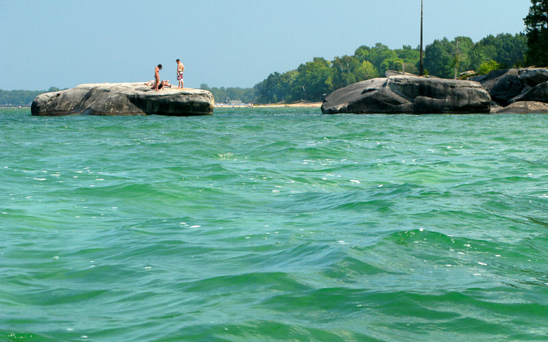
People on the rocks near Broken Rocks.
Mike below Turnip Rock.
Fog burning off.
Mike under The Thumbnail.
The view from The Thumbnail.
My shadow, standing on The Thumbnail, and the rocks below.
Near Turnip Rock.
A kayak beached on Flat Rock.
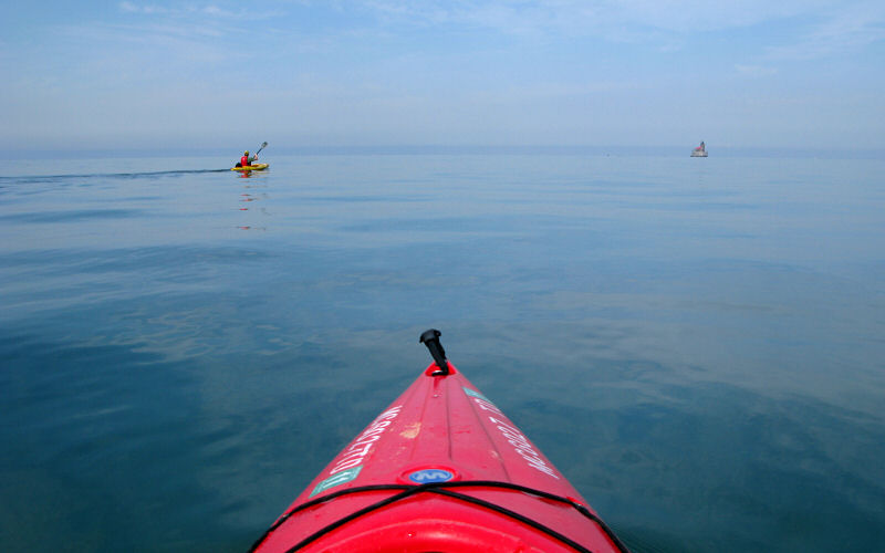
Making a beeline for the lighthouse.
Turnip Rock cove.
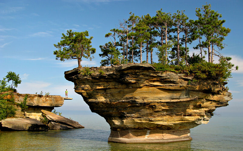
Mike on The Thumbnail with Turnip Rock in the foreground.
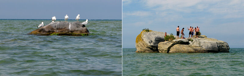
There seemed to be an unspoken agreement between birds and people: the birds could stand on the small rocks and the people would stand on the big rocks.
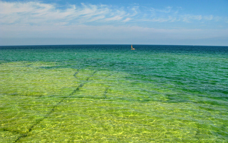
Someone out sailing their Sunfish.

Seagulls.
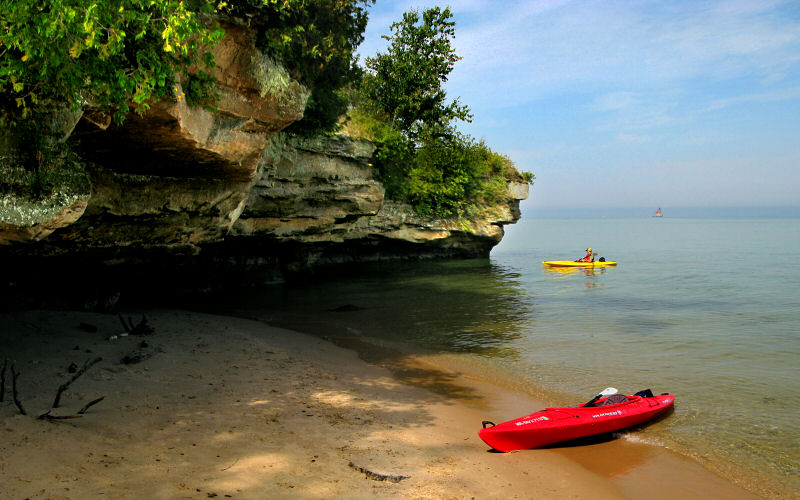
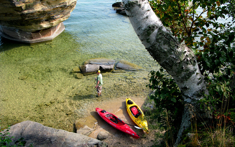
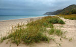
This is a small beach, bookended by cliffs, just west of Turnip Rock.
The beach.
Another view of The Thumbnail.
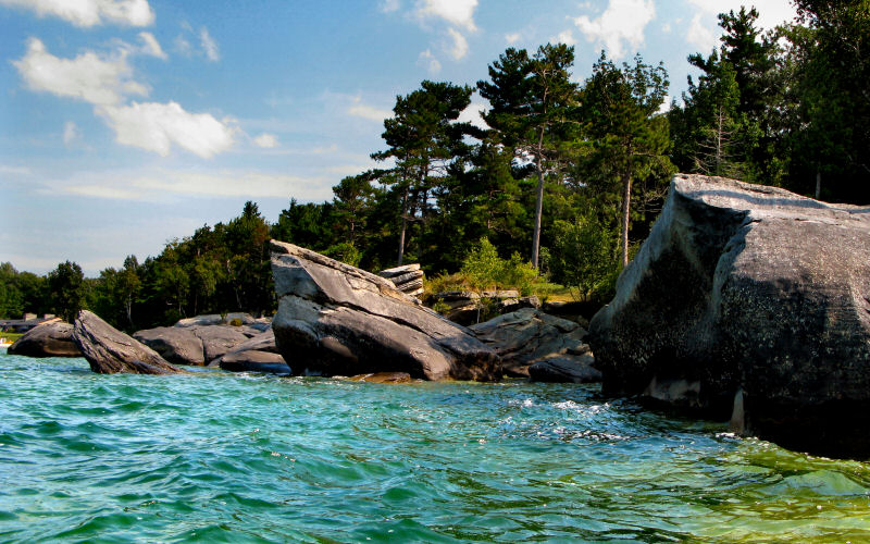
Broken Rocks, west of Port Austin.
Cliffs and beaches west of Turnip Rock.
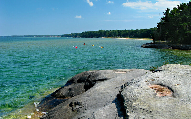
A pack of kayakers as seen from Flat Rock.
Cliffs and Bird Island.
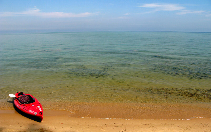
Views from Port Austin beach, looking west and east.
Gliding.
The glimmering water under Turnip Rock.
View from The Thumbnail.
Over a mile from shore, standing on a shallow rock reef near the lighthouse.
These are our tracks. I turned off my GPS at Turnip Rock and forgot to turn it back on for a bit so there is some missing data in that area. 10.6 miles total.
» all photo reports from lower michigan


Fall in Ann Arbor, Michigan
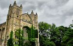
October 2011 Fall photos, mostly from around the University of Michigan campus. 
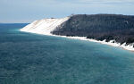
Nordhouse Dunes, Michigan
February 27 - 28, 2010 Winter camping in the Nordhouse Dunes Wilderness along Lake Michigan. 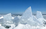
The Thumb, Michigan
September 6, 2009 Kayaking along the rocky shores of Lake Huron near Port Austin. 
Spring in Ann Arbor, Michigan
April - May 2009 Photos of bright colors returning to campus and town. 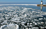

Fall in Ann Arbor, Michigan
October - November 2008 A few attempts at capturing the beautiful fall colors. 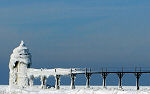
Frozen Coast, Michigan
February 16, 2008 Exploring the frozen shores of Lake Michigan, from Warren Dunes to South Haven. 
West Coast, Michigan
July 21, 2007 Checking out a couple of the beaches and towns of Michigan's west coast. 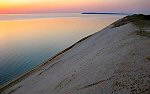
Northern Michigan
June 21 - 22, 2007 Canoeing the Pere Marquette River and checking out the Sleeping Bear Dunes area. 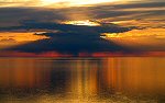
Northern Michigan
July 1 - 4, 2006 Checking out Grand Haven, Silver Lake, Sleeping Bear Dunes, and Traverse City. 


Northern Michigan
July 2 - 3, 2005 Hiking the Manistee River Trail, canoeing the Jordan River, and making a brief stop at Wilderness State Park. 
The Arb, Ann Arbor
January 2005 Pictures from the first big snowfall in Ann Arbor in 2005 when I skied from home to the Arb and fell into the river. 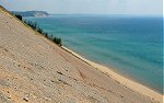

|
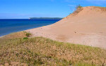
Sleeping Bear Dunes, Michigan
October 12 - 14, 2012 Unrelenting rain drenches our fall weekend trip. 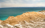
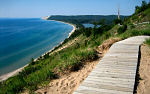
Sleeping Bear Dunes, Michigan
February 24 - 27, 2012 Winter photos from the Leelanau area, including Pyramid Point, Empire Bluffs, and Crystal Lake. 

Frozen Coast, Michigan
February 20, 2010 Checking out the frozen lakeshore of Lake Michigan at Warren Dunes, St. Joseph, and Holland. 
Fall in Ann Arbor, Michigan
October 2009 Fall color viewed mostly from a few tall buildings around town. 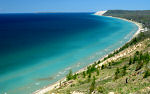
Sleeping Bear Dunes, Michigan
May 16 - 17, 2009 Enjoying springtime in Sleeping Bear Dunes National Lakeshore. 
Detroit, Michigan
March 7, 2009 Making a quick and rare trip to Detroit, checking out the haunting Michigan Central Station and a few other places. 
The Thumb, Michigan
January 31, 2009 Hiking along Lake Huron to see the rock formations and lighthouse near Port Austin. 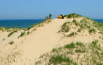
Nordhouse Dunes, Michigan
July 26 - 27, 2008 A quick overnight backpacking trip into the Nordhouse Dunes Wilderness Area. 
North Manitou Island, Michigan
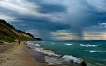
August 11 - 12, 2007 Backpacking on North Manitou Island, enjoying the sunset, and watching storms roll off from Lake Michigan. 
Botanical Gardens, Ann Arbor
July 14, 2007 Checking out the flowers and interesting plants of the Univeristy of Michigan Botanical Gardens. 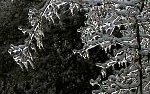
Ice Storm, Ann Arbor
January 17, 2007 Pictures from around town after an ice storm coated all the trees in ice. 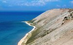
South Manitou Island, Michigan
July 2, 2006 Hiking to the sand dune bluffs on the west side of South Manitou Island. 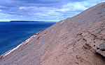
Sleeping Bear Dunes, Michigan
February 27, 2006 Hiking and skiing around the Sleeping Bear Dunes National Lakeshore. 
Sleeping Bear Dunes Area, Michigan
May 27 - 29, 2005 Kayaking on Lake Michigan near Sleeping Bear Dunes. 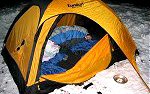

Ross School of Business
Favorites My favorite photos of the Ross School of Business at the University of Michigan. |
Copyright 1995- Lars Jensen | randomspace@umich.edu |