Maui, Hawaii
October, 2008
» maui
Information on any of the hikes/sights shown on this page can be found in the ubiquitous Maui travel guide: Maui Revealed: The Ultimate Guidebook .
.
Information on any of the hikes/sights shown on this page can be found in the ubiquitous Maui travel guide: Maui Revealed: The Ultimate Guidebook
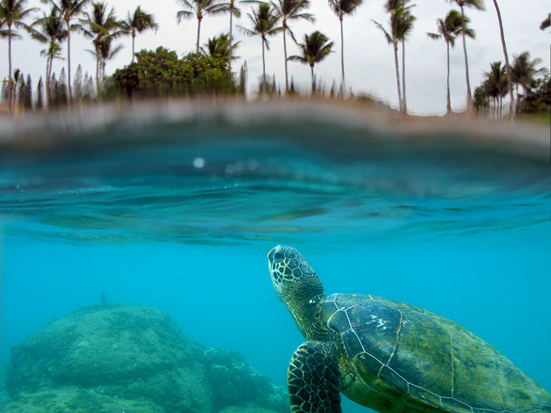
A sea turtle in Kapalua Bay.
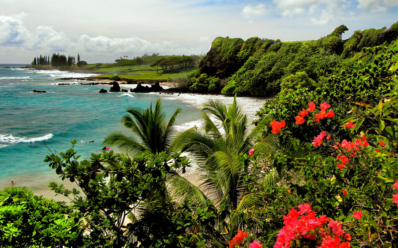
Hamoa Beach.
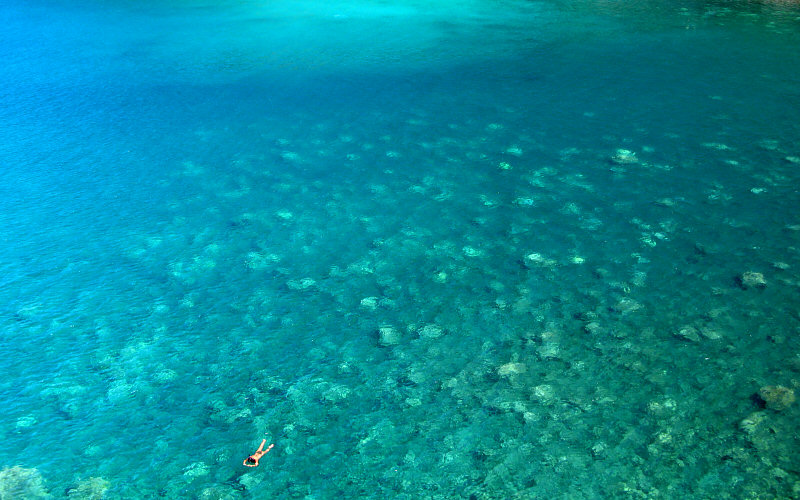
Honolua Bay, snorklers paradise.
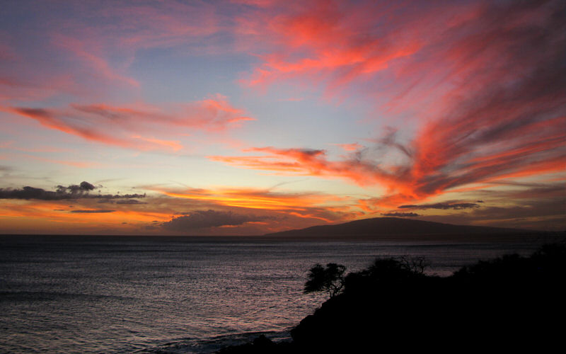
Sunset.
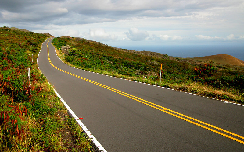
» hana highway
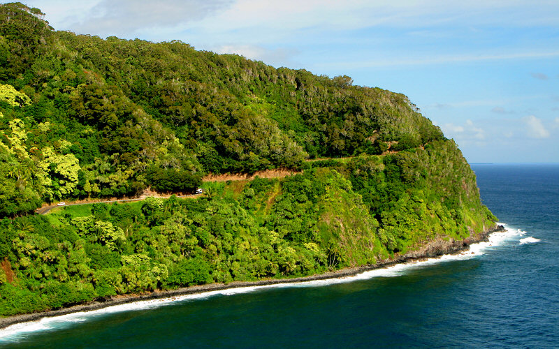
Hana Highway.
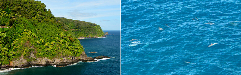
At one of the first lookouts, we saw a pod of dolphins swimming below.
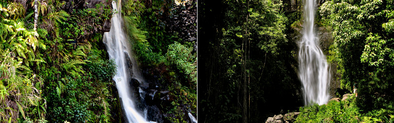
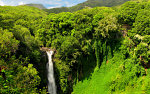
Bad photos of some of the many waterfalls you can see along the road.
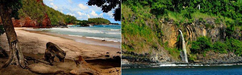
Left: Koki Beach. Right: Kukui'ula Falls.
» pipiwai trail, 'ohe'a gulch
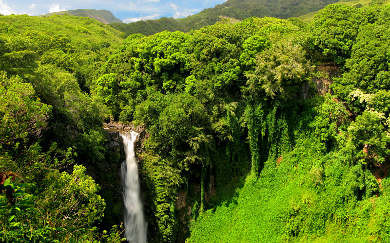
Makahiku Falls.
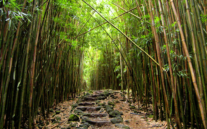
Bamboo forest along the Pipiwai Trail (Photo by Megan).
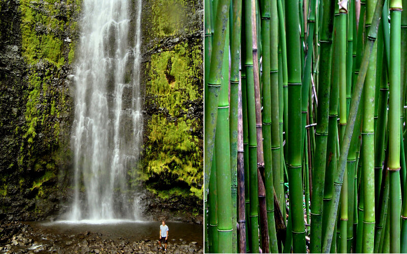
Left: Me below Waimoku Falls (Photo by Megan). Right: Bamboo.
» hana highway, south side
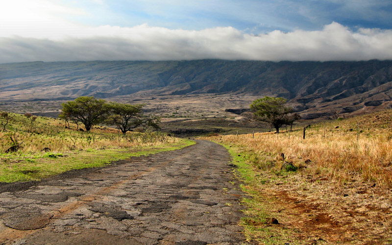
The dead side, in the rain shadow of Haleakala.
Pi'ilani Highway on the south side of east Maui.
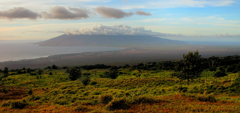
West Maui and the valley, as seen from east Maui.
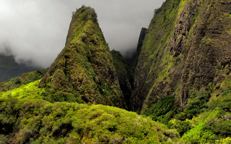
Iao Needle. Iao Valley is a very scenic place and is the only perpetually lush valley on Maui that you can drive into (as far as I know). There is more to see than just the Needle, that just happens to be the easiest thing to photograph.
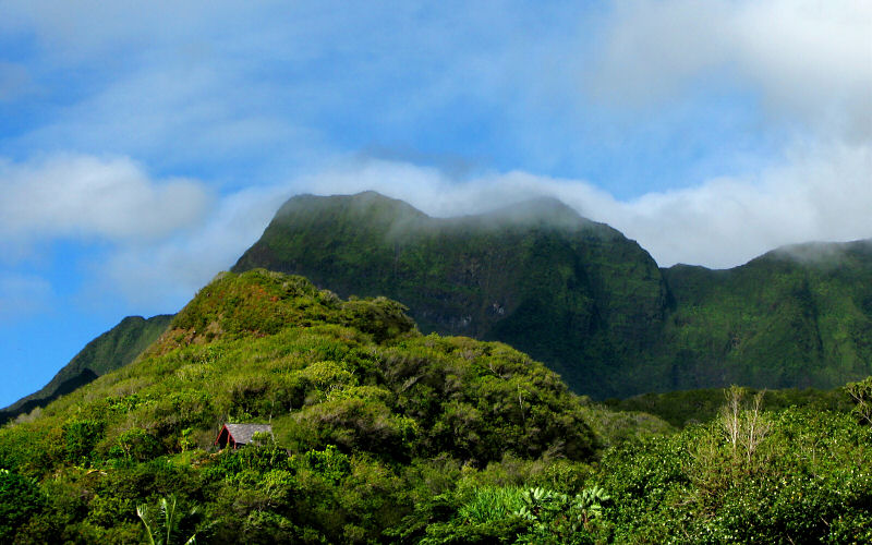
Iao Valley.
» haleakala national park
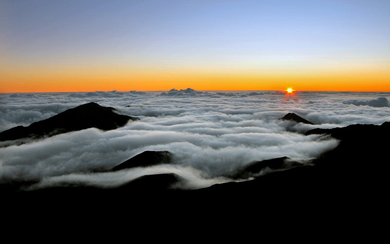
6:16am sunrise from Haleakala (10,000'). We woke up at 3am to get there in time. Why? Because everyone else was doing it.
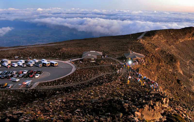
Here is everybody else. I imagine a lot of road rage occuring in this process as people try to get through the line at the gate, drive 10,000 feet up a winding mountain road, and find a parking spot in time to see the sun rise while standing shoulder to shoulder with a hundred other people (Hint: Walk the short trail up to the Pa Ka'oao Lookout if you want some elbow room). We were lucky to get perhaps the last non-handicap spot in the parking lot. I was prepared to make the ultimate sacrifice and break both of Megan's legs if there were only handicap spots left.
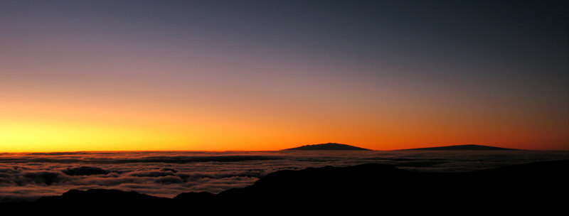
The distant Big Island, prior to sunrise.
A bit after sunrise.
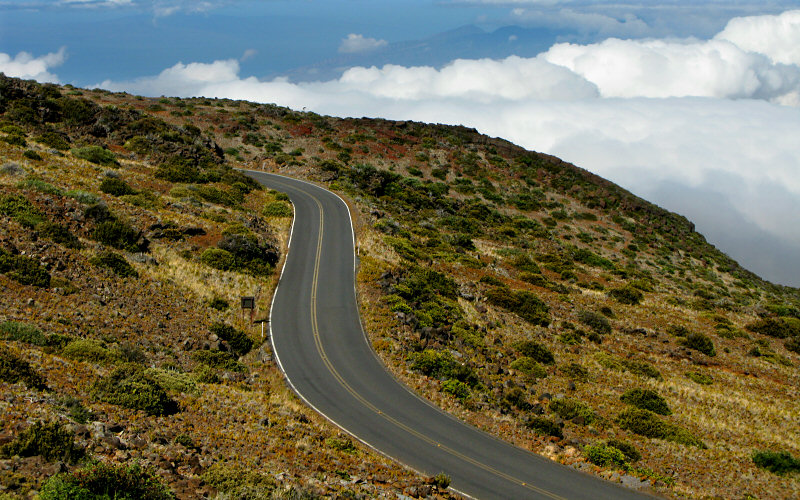
The road up to Haleakala is not extrodinarily scenic, but you'll often find yourself drving above the clouds and where there are no clouds you can see a long long way.
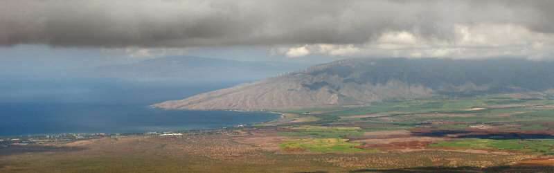
Below the clouds, at about 7,000 feet, the central valley and the dry side of west Maui were visible.
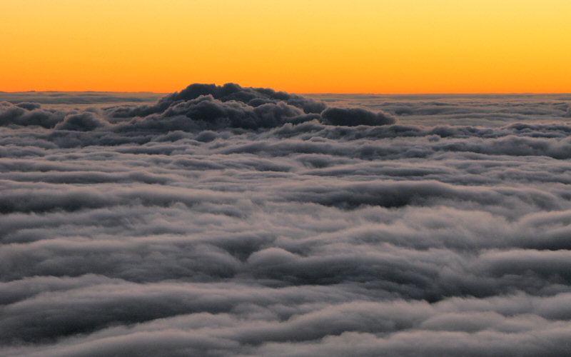
The orange horizon at sunrise.
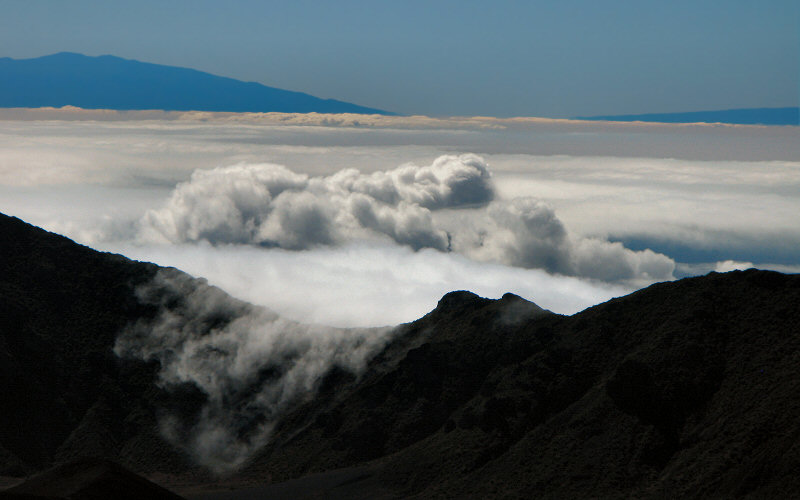
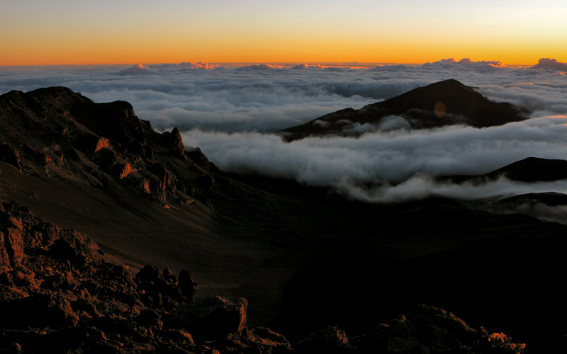
Clouds spilling into Haleakala Crater. The distant peaks are part of the Big Island.
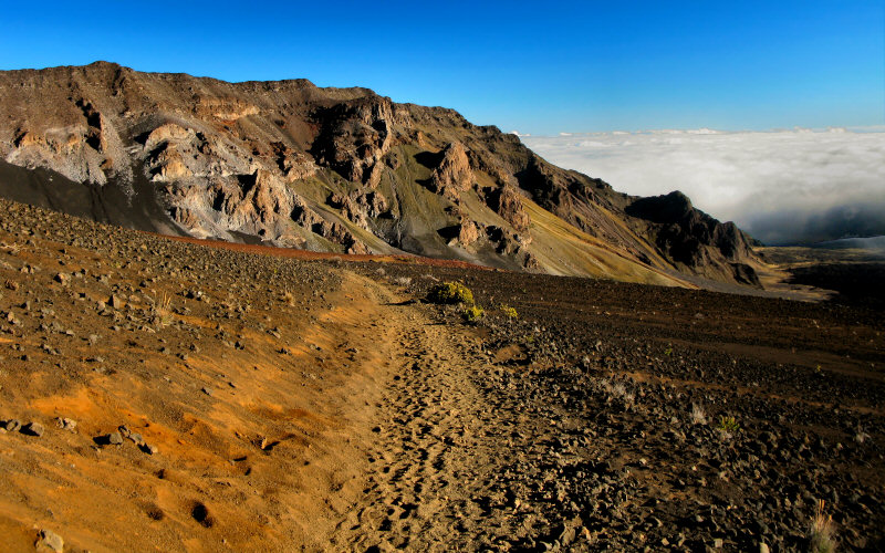
Hiking into Haleakala on the Sliding Sands Trail.
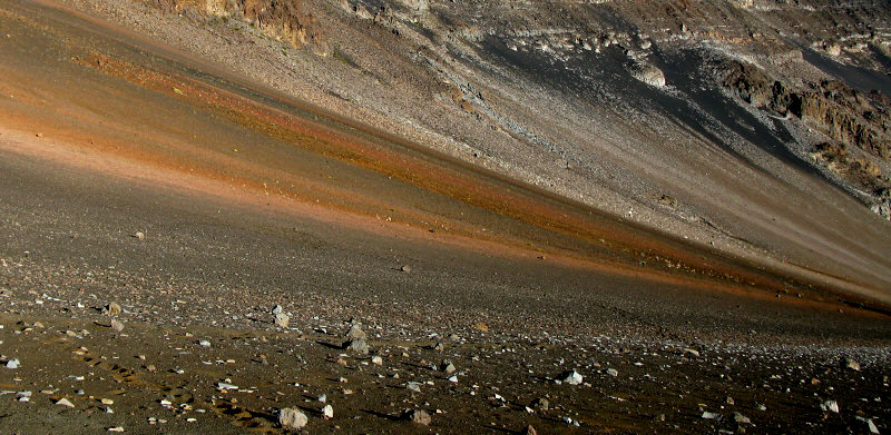
Colored slopes of the crater.
Inside a volcano. The trail in the upper right is the Sliding Sands Trail.
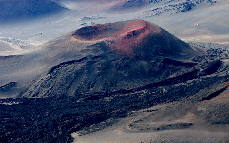
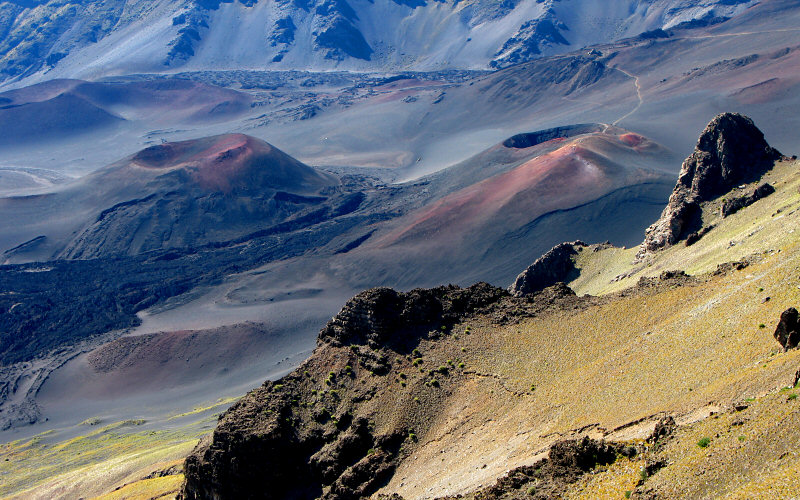
Cinder cone.
» west maui
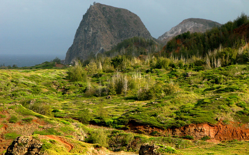
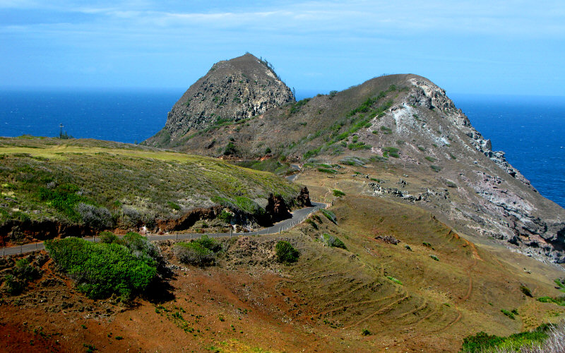
Half Dome? Nah, Kahakuloa Head.
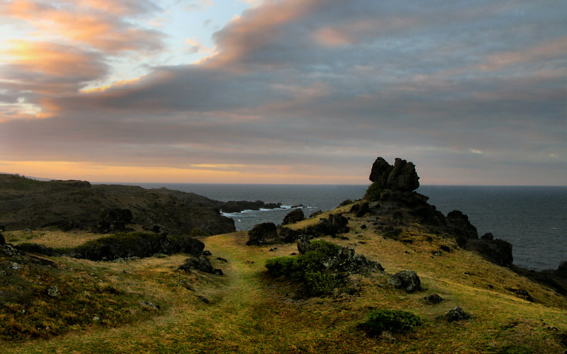
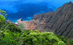
Cliffs on the north side of west Maui.
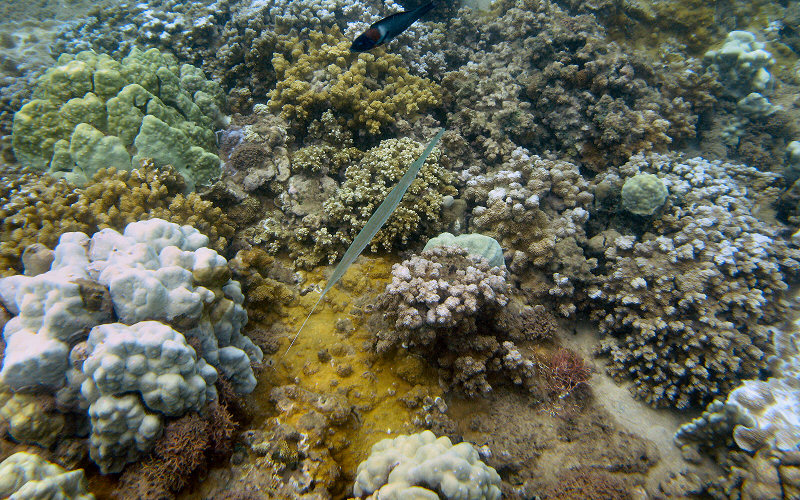
Coral and a fish in Kapalua Bay.
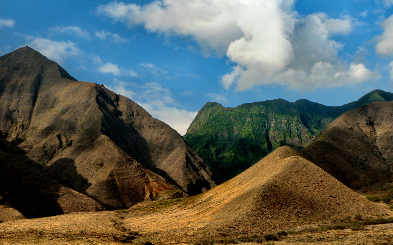
The West Maui Mountains as seen from the south. Here you can see the contrast between the lush interior (2nd rainiest place on Earth) and the southern coast, which sees less rain (however, I think even the south coast greens up during some parts of the year).
Peeking.
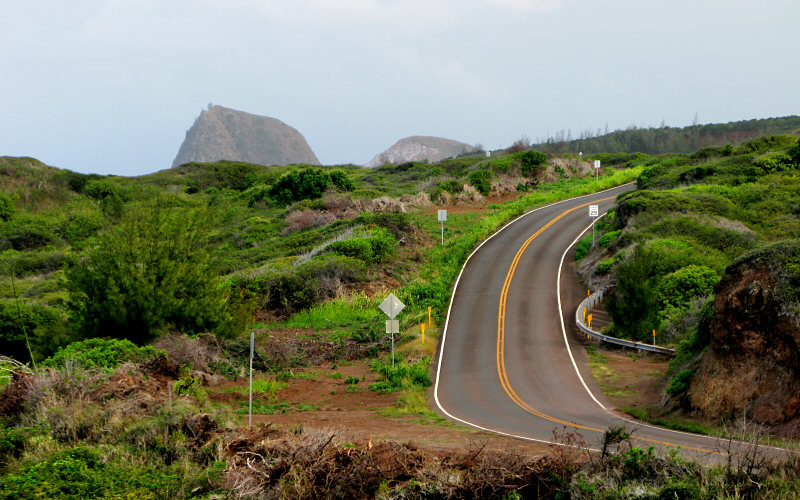
Kahekili Highway.
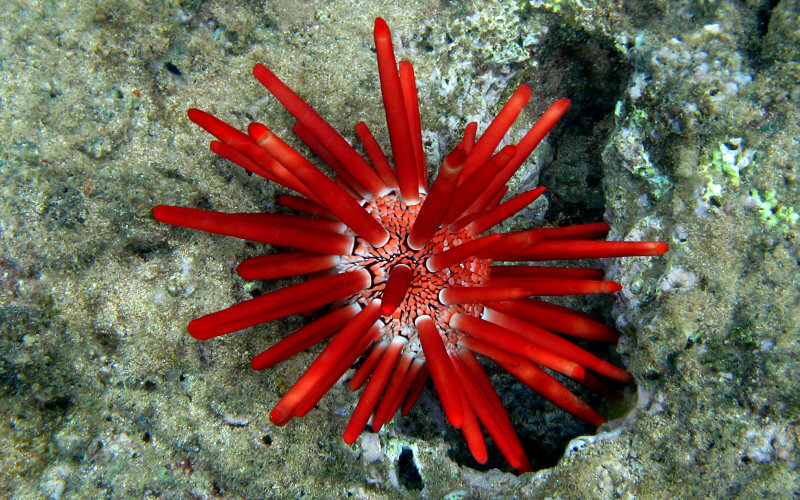
Sea urchin.
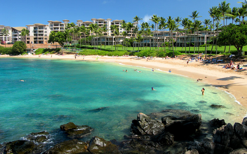
Kapalua Bay.
» molekini
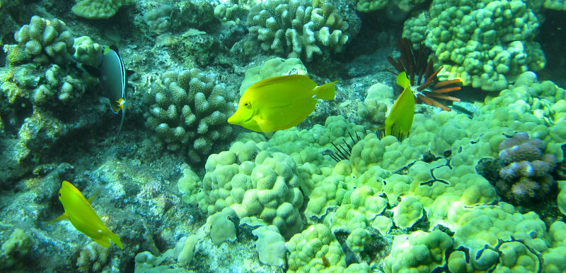
...
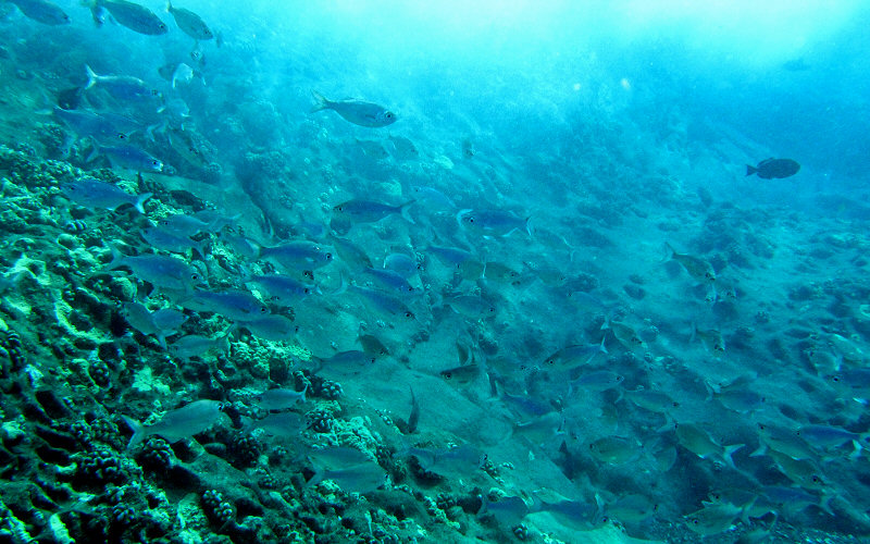
...
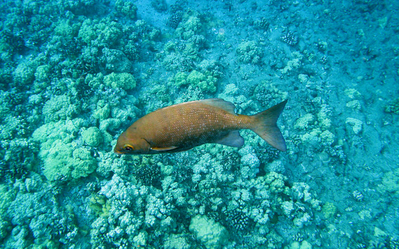
...
» from the plane
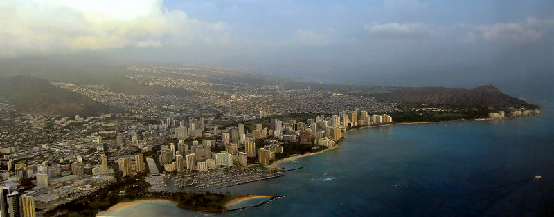
Honolulu.
» all photo reports from hawaii
Maui, Hawaii
October 14 - 22, 2008 Enjoying the amazing island of Maui, with all of it's crazy roads. |
Kauai, Hawaii
October 6 - 14, 2008 Enjoying the amazing island of Kauai, from Waimea Canyon, to Poipu, to the Kalalau Trail. |
Copyright 1995- Lars Jensen | randomspace@umich.edu |