|
Gallery 1: Northern Michigan [page 1] |
|
The following photos were taken during a trip in May of 1999.
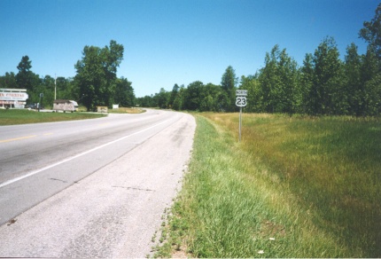
US 23, looking north, south of Tawas, MI. |
|
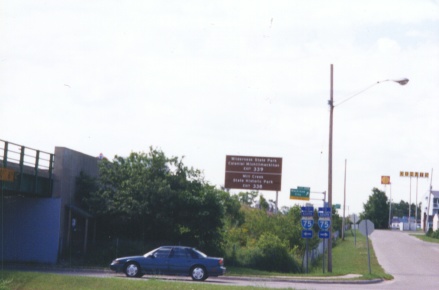
Looking south at the south approach of the Mackinac Bridge (I-75 South). |
|
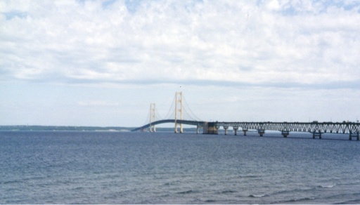
Mackinac Bridge (I-75), looking north from Mackinaw City, MI. |
|
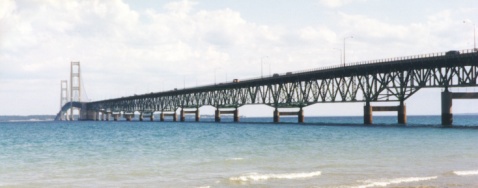
Close-up view of above. |
|
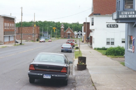
Northbound M-26, looking east, in South Range, MI. |
|
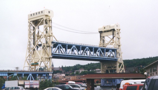
Houghton-Hancock Lift Bridge (US-41, M-26) looking SE towards Houghton. |
|
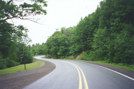
US-41 North, looking NE, about 6 miles short of Copper Harbor, MI. |
|
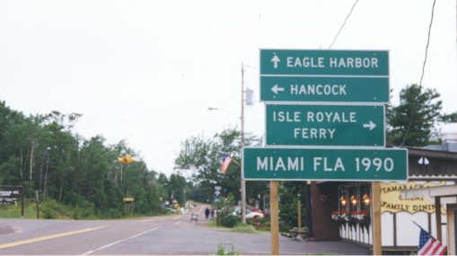
US-41
South (looking West), Copper Harbor, MI. At the flasher, US-41 bends
left, and |
|
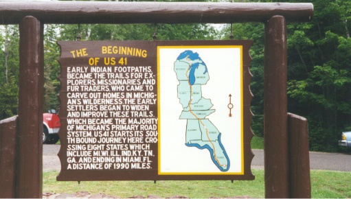
The beginning of US 41, 2 miles west of Copper Harbor, MI. Curiously enough, the |
|
The remainder of the photos in this
gallery were taken during a trip in August of 2004.
M-168 approaching it's western terminus in the village of Elberta. |
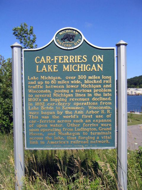 Historical marker seen in above photo. |
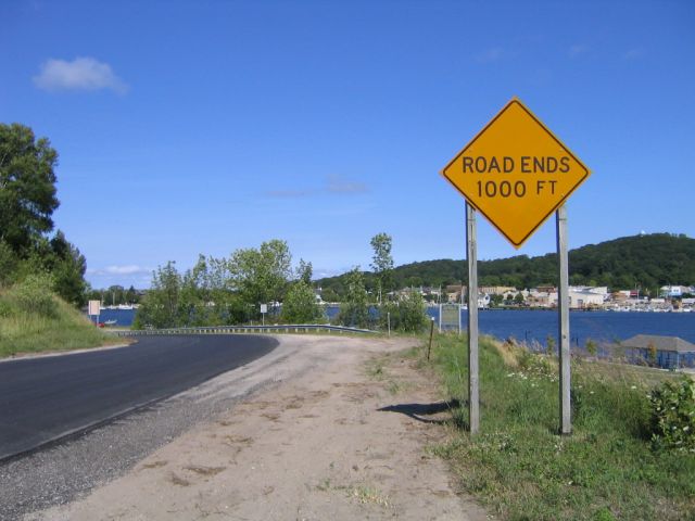
 The western terminus of M-168. |
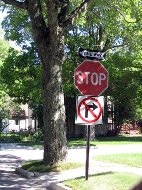 Nonstandard One Way sign in the city of Frankfort. |
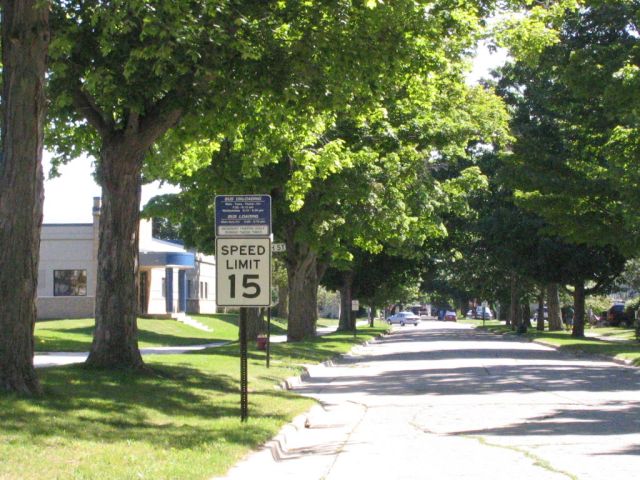 Unusually low speed limit for a city street, also in Frankfort. |
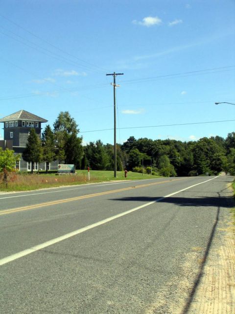 Sleeping Bear Dunes National Lakeshore visitors center located on M-72 in Empire (looking east). |
| Page 1 | Page 2 | Page 3 | Gallery Index |