|
Gallery 1: Northern Michigan [page 3] |
|
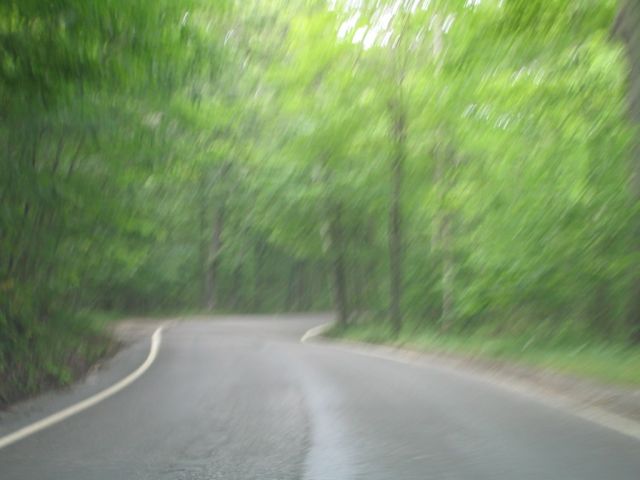
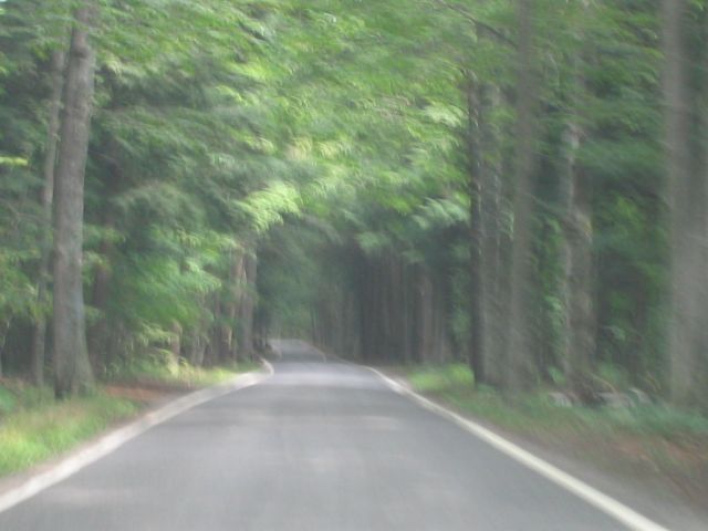
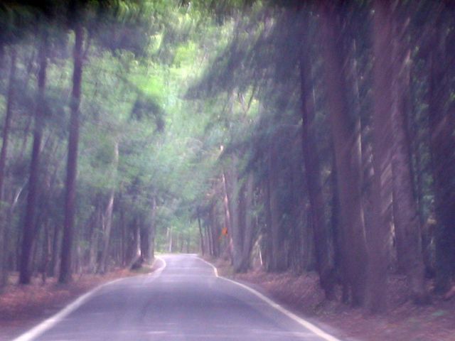
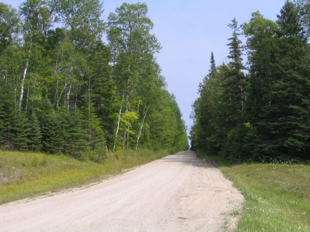
Three rather artistic shots along northbound M-119, the Tunnel of Trees scenic heritage route. |
|
|
|
|
|
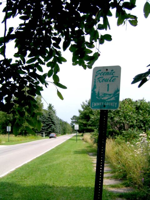
This scenic route marker is located along Lake Shore Dr. in Cross Village. This county road picks up where M-119 leaves off and is signed as the "scenic route to Mackinaw City". |
|
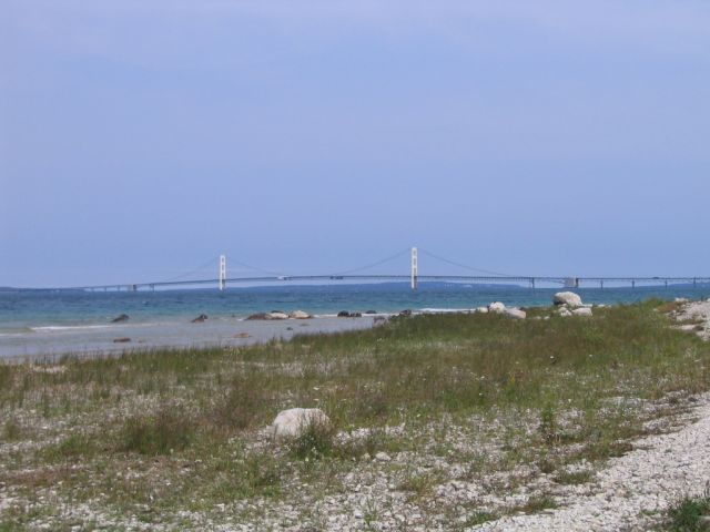
A view of the Mackinac Bridge taken from McGulpin point at the tip of the lower peninsula (looking east). |
|
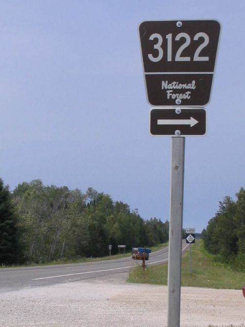
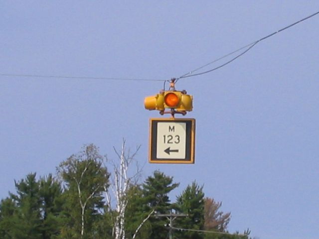
National forest route directional marker seen here on northbound M-123 in Mackinac Co. |
|
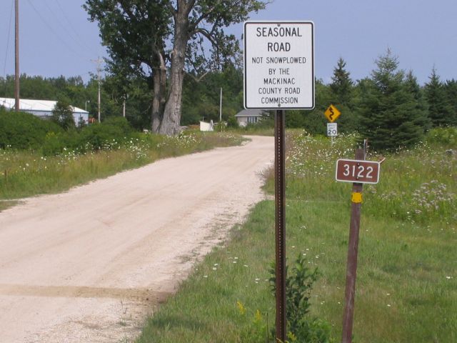
Looking east on National Forest route 3122. |
|
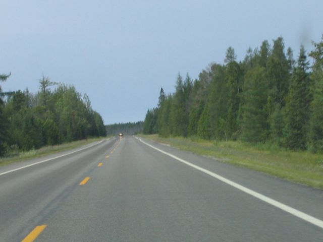
Northbound M-123 in Mackinac Co. |
|
County Line Rd. along the Chippewa/Mackinac Co. line, looking east from M-123. |
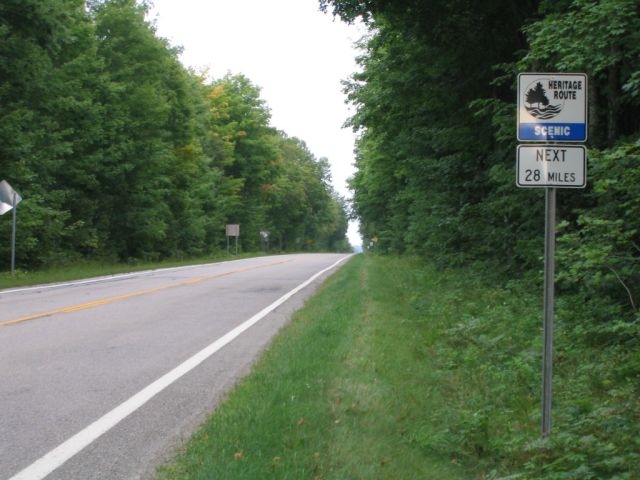 M-123 is a scenic heritage route for 28 miles of its passage through Chippewa and Luce Counties. |
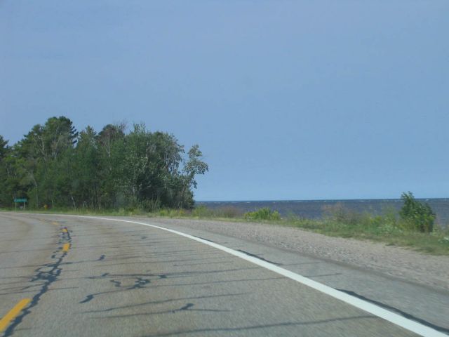 Northbound M-123 along Lake Superior in Tahquamenon Falls State Park. |
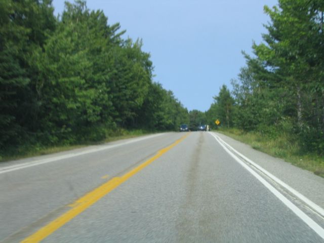
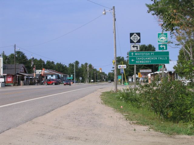 Northbound M-123 in the town of Paradise. |
 Close-up of nonstandard illuminated directional sign seen in above photo. |
 Tom Brown Memorial Hwy. (formerly Whitefish pt. Rd.) looking north between Paradise and Whitefish Pt. Note the dual edge lines found along the entirety of this county road. |
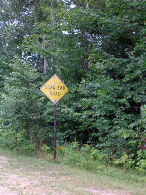 An aging Dead End sign found along a local road in Chippewa Co. |
|
Links MDOT - The Michigan Department of Transportation A Guide to Highways in Upper Michigan - A route log for da UP. Michigan Highways by Christopher Bessert Michigan Road Photos by Dan Garnell Michigan Highway Ends by Dan Garnell County Road Signs of Michigan by Sean Lyons |
| Page 1 | Page 2 | Page 3 | Gallery Index |