
|
|
 |
 |
 |
 |
 |
|
|
|
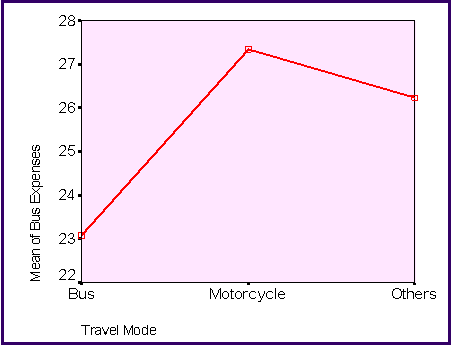
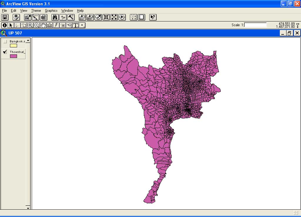
GIS
is used as part of analysis concerning residential and job locations of
bus and motorcycle users. Originally, GIS data were obtained at a sub-district
level from a larger map of Central Thailand (courtesy of Thailand Environmental
Institute - http://www.tei.or.th).
But due to limitation of survey data, the analysis can be performed only
at the district level. Therefore, the sub-district data need to be converted
to the district level data. The first screen shows a map of Central Thailand,
which are comprised of polygon data. Each polygon represents a sub-district
in Central Thailand.
|
 |
|
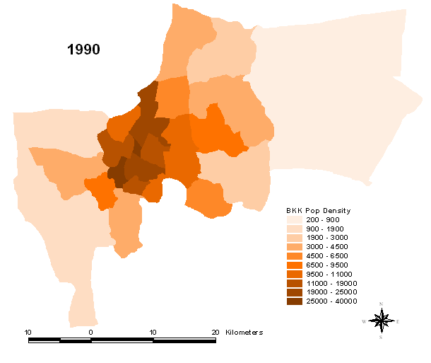
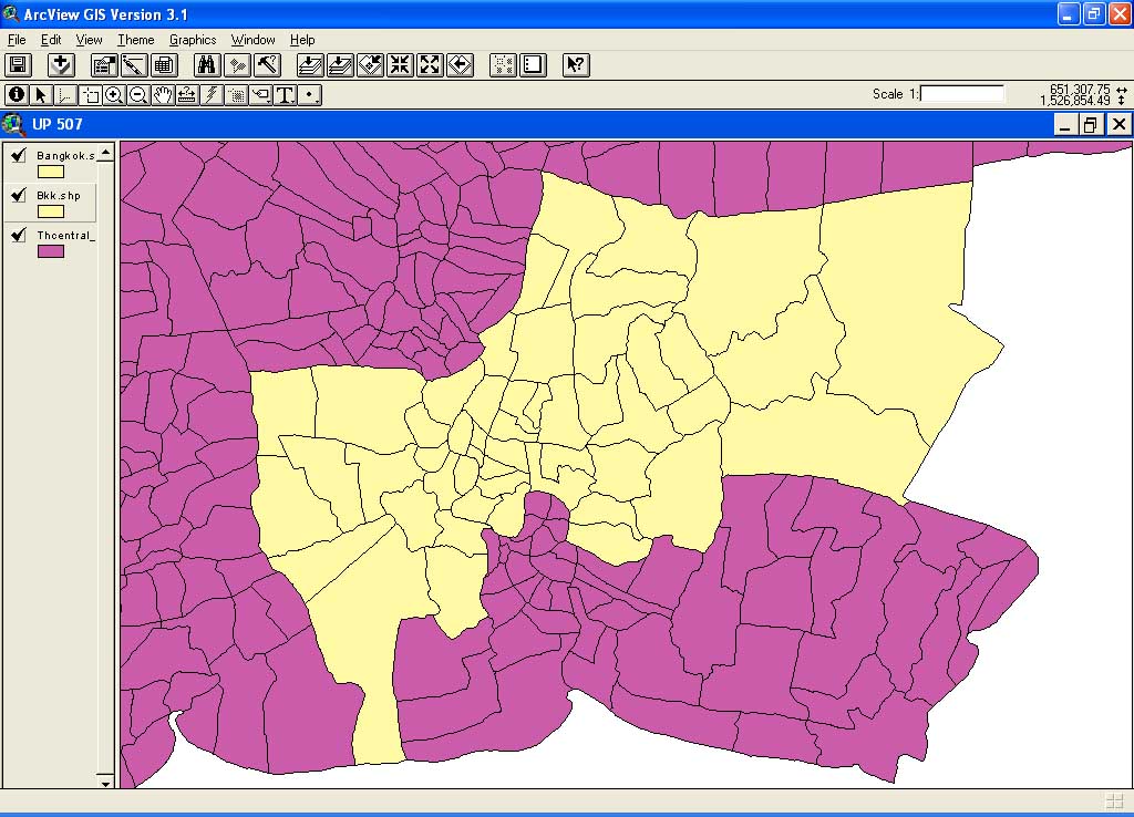
The
next screen shows the area of interest for this project, which is Bangkok.
Bangkok is a province in the central region of Thailand.
|
 |
|
The
next screen zooms to the map of Bangkok level. Again, these are polygon
data. Each polygon is a sub-district of Bangkok.
|
 |
|
Since
the survey data collected from bus and motorcycle users in Bangkok are
in the district level, not the sub-district level, the "Dissolve" feature
in ArcView is used to combine polygon data together and create a new district-level
data, where each polygon represents each of the 50 districts in Bangkok.
|
 |
|
The
next screen shows both the original sub-district data and the district
data after dissolving features is done.
|
