The map is based on 1990 Census Block Groups and is projected in Michigan State Plane - South.
Kent County, MI
|
|
|
 |
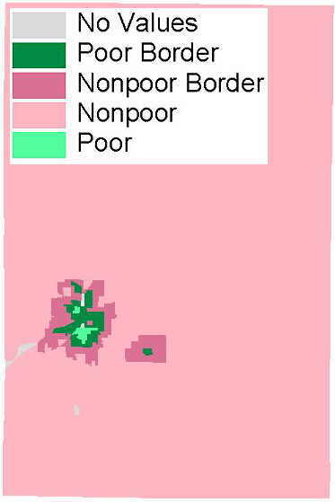 |
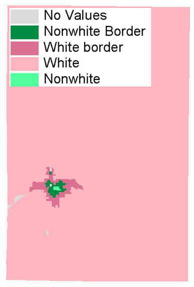
| Description: | The maps below shows the spatial auto correlation comparison
of race and poverty.
The map is based on 1990 Census Block Groups and is projected in Michigan State Plane - South. |
||||
| Map Development: | Refer to the spatial auto correlation pages for "race" and "poverty" for a delineation of the data categories. | ||||
| Maps -
Kent County, MI |
|
||||