
|
|
|
Cartography Workshop
June 20, 22, and 25, 2001, 9a.m. to noon.
Harper Library, Room 406.
|
June 20, 9a.m. to noon. Identifying Useful Online World Studies Resources and an Introduction to Searching for Maps on the Internet |
|
June 22, 9a.m. to noon. Presentation on Contemporary and Computer-assisted Cartography |
|
June 25, 9a.m. to noon. Instructional Session on Creating Web Sites |
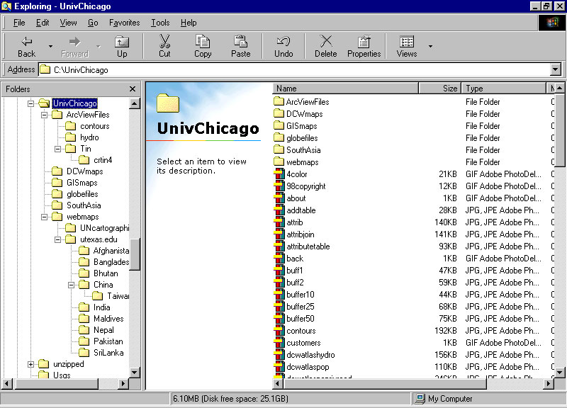
Resource CD. This
CD includes a wide variety of maps. Some, such as the files in the
GIS Maps folder, contain subnational boundaries by country and are suitable
for use as base maps. Others are simply images that may be useful
as a base for a clickable map or for insertion into a Word document.
Yet others are files that can be loaded into ArcView. This CD is
distributed by the author free of charge and neither it, nor any of its
files, are to be sold.
Jefferson, Mark. The civilizing rails. Economic Geography, 1928, 4, 217-231.
Raisz, Erwin. General Cartography. New York: McGraw-Hill, 1938 (and later by various publishers).
Robinson, Arthur H. Elements of Cartography. New York: John Wiley and Sons, 1953 (and later; some recent versions with multiple authors).
Greenhood, David. Mapping. Chicago: University of Chicago Press, 1964.
Robinson, Arthur H. Early Thematic Mapping in the History of Cartography. Chicago: University of Chicago Press, 1982.
Harley, J. B. and Woodward, David. The History of Cartography (multiple volumes). Chicago: University of Chicago Press, 1987.
Snyder, John P. Flattening the Earth: Two Thousand Years of Map Projections. Chicago: University of Chicago Press, 1993.
Sobel, Dava and Andrews, William J. H. The Longitude. New York: Walker and Company, 1995.
Monmonier, Mark S. and de Blij, Harm, How to Lie with Maps, 2nd Edition. Chicago: University of Chicago Press, 1996.
Puu, Tonu, Mathematical Location and Land Use Theory. Berlin and New York: Springer Verlag, 1997.
Arlinghaus, Sandra L.; Arlinghaus, William C.; and, Harary, Frank. Graph Theory and Geography: An Interactive View. New York: John Wiley & Sons, 2001.