Big Sur, California
July, 2006
» big sur
What up dogs? Can I get some g love up in this house? I took some hardcore gangsta pictures of nature this past week. All pictures were taken with my camera in one hand and my glock in the other, I think I killed about 6 people because I forgot which hand was which. Sorry bros, that's just how I roll.
These pictures are from a Saturday afternoon drive from Morro Bay to Point Lobos on the Pacific Coast Highway, going south to north. If you want to explore this area yourself without leaving your seat, check out www.californiacoastline.org. They have photographed almost the entire California coastline.
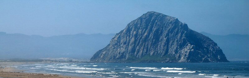
Morro Rock.
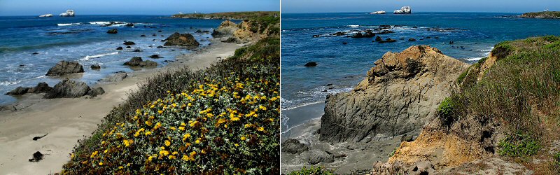
San Simeon.
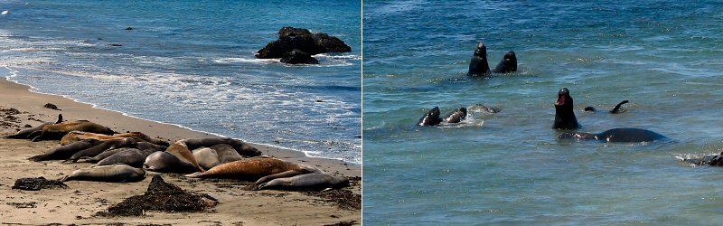
Elephant Seals laying on the beach, and some in the water butting heads.
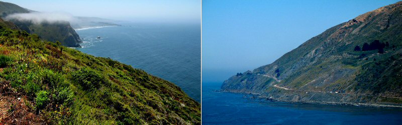
Cliffs and the road.
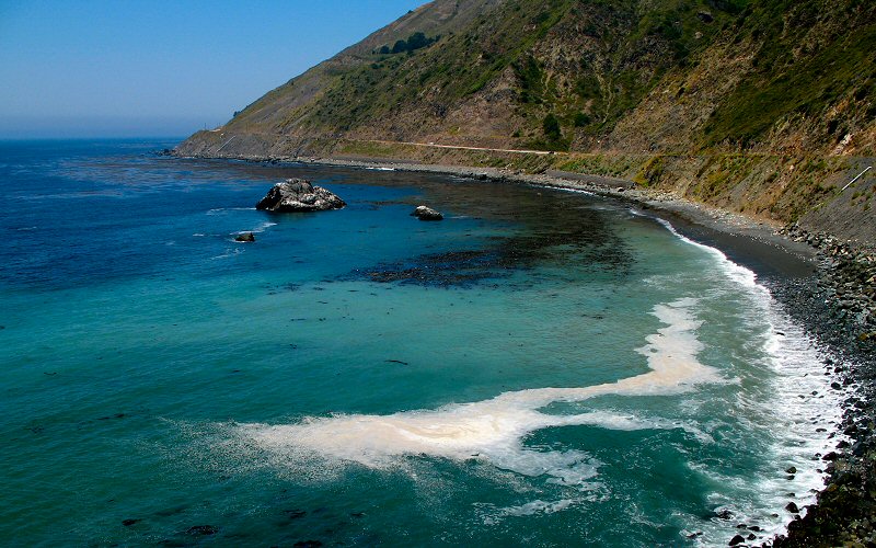
Ocean.
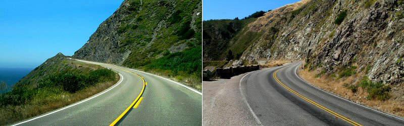
A couple shots of the road.
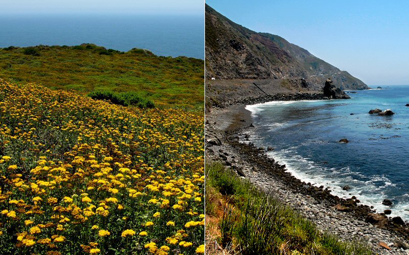
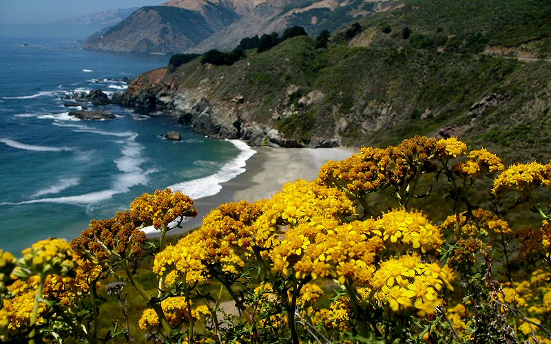
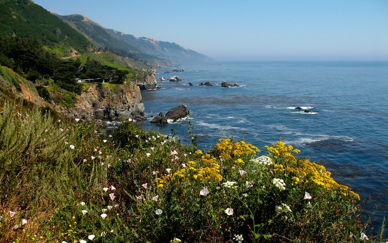
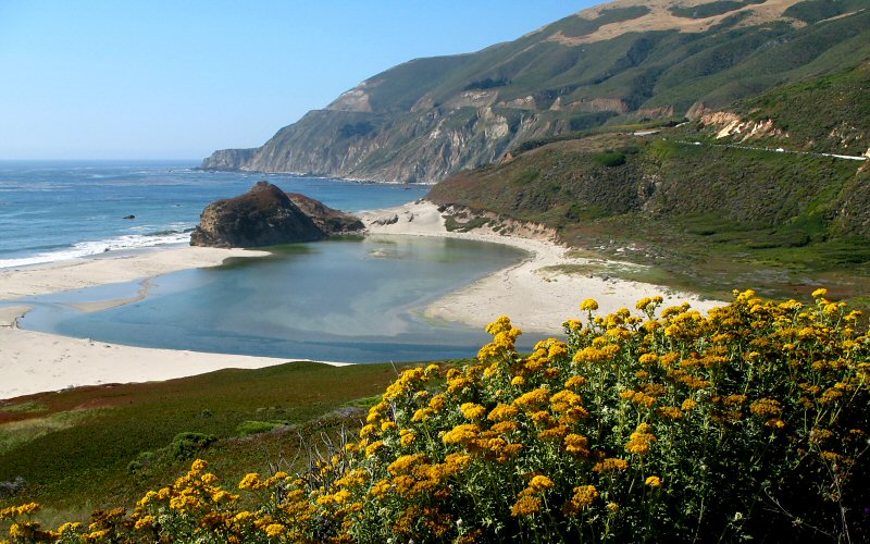
Wildflowers, and a bay.
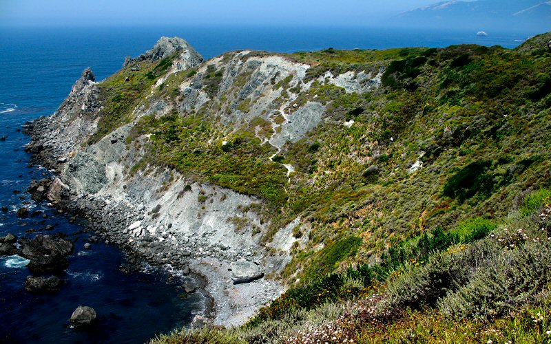
A rocky point.
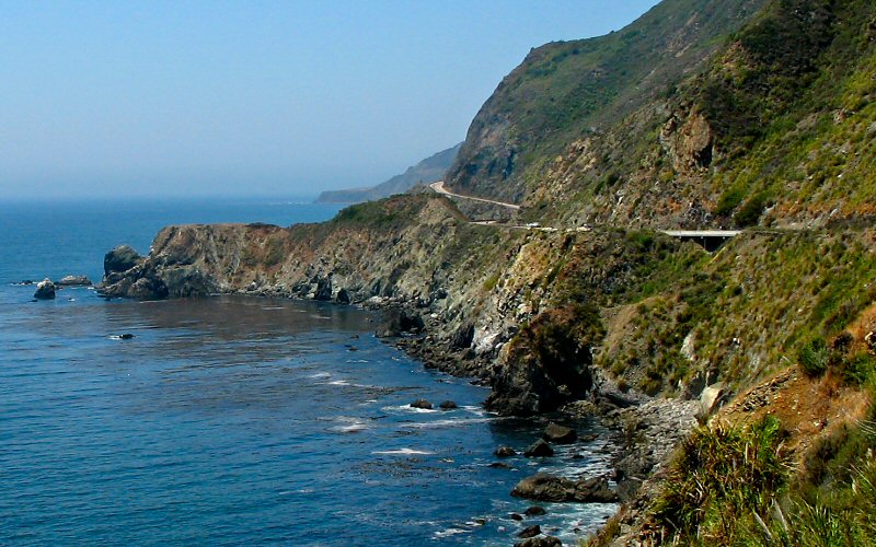
The road can barely be seen here, hugging the cliffs.
This was a really picturesque cove with a waterfall flowing down the cliffs, but it was privately owned.
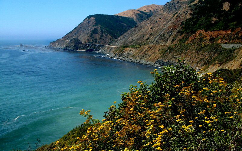
Bridge north of Gamboa Beach.
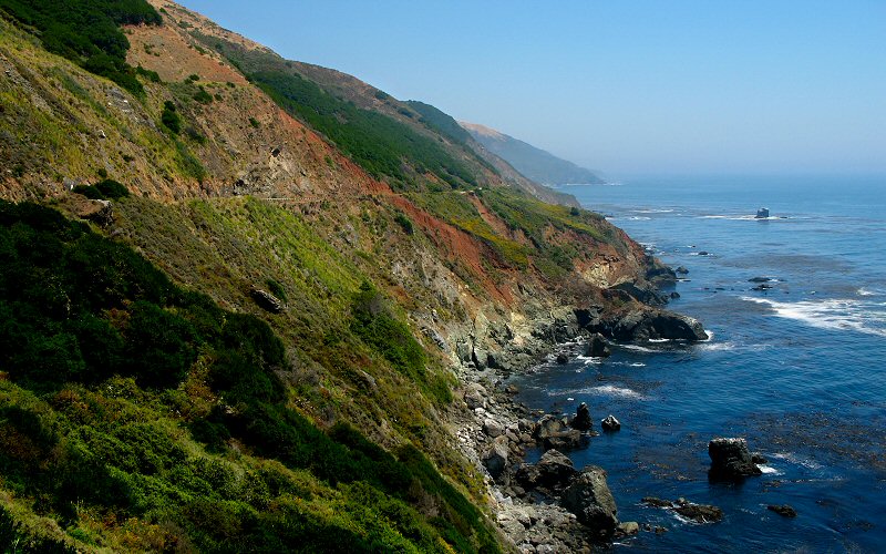
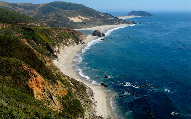
Cliffs.
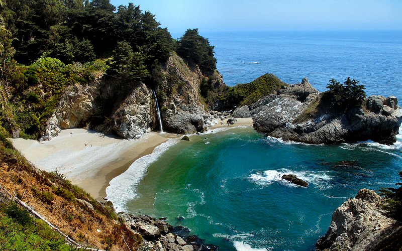
McWay Falls. This is an 80 foot waterfall and the two people down on the beach to the left of the falls who appear as specks should give you an idea of the scale of it.
The view south from near McWay Falls.
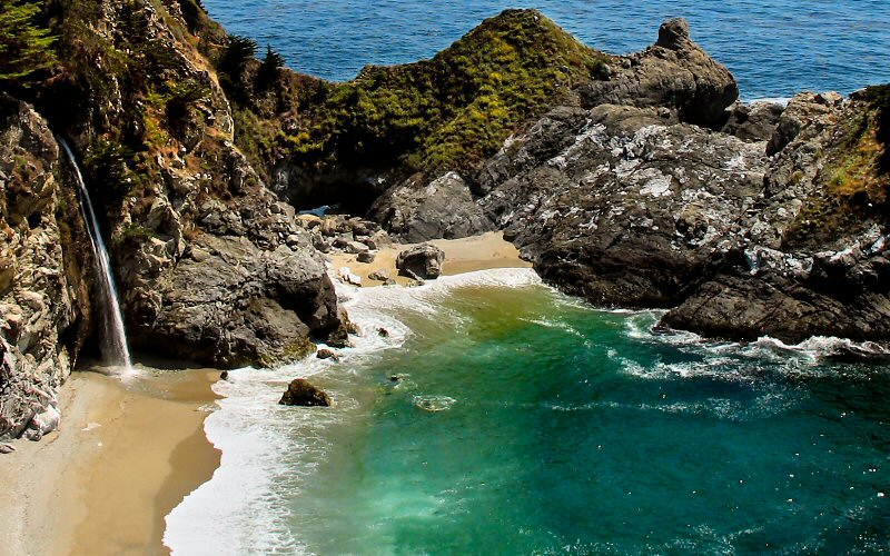
A closer look at the falls.
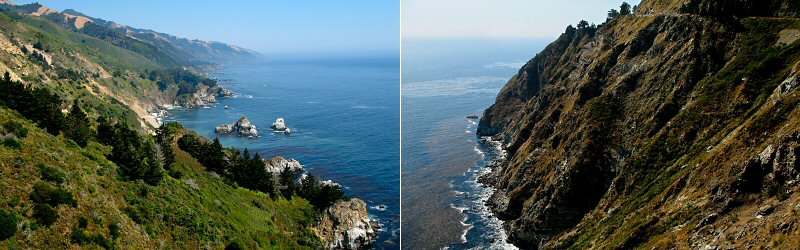
A couple more cliffs.
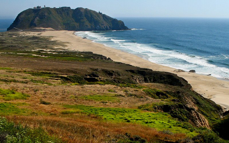
Point Sur.
Mouth of the Little Sur River.
Looking back at Point Sur.
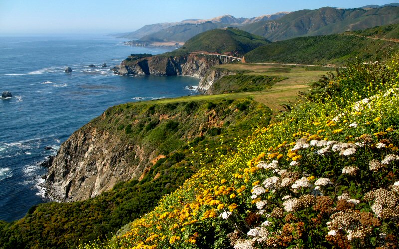
The view from Hurricane Point. The Bixby Bridge can barely be seen in the distance.
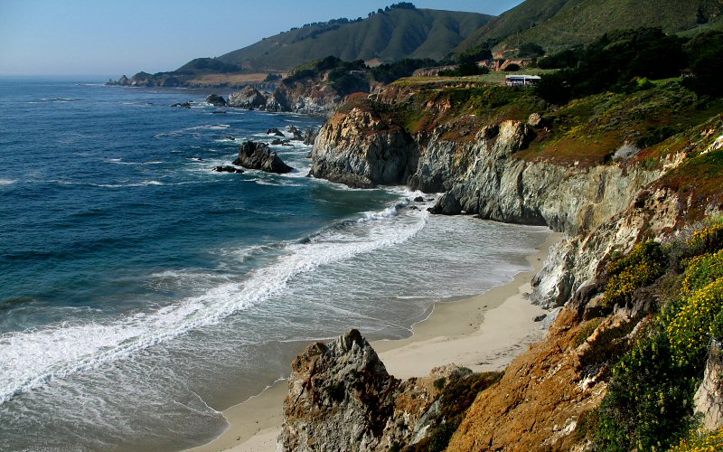
The beach near Bixby Bridge.
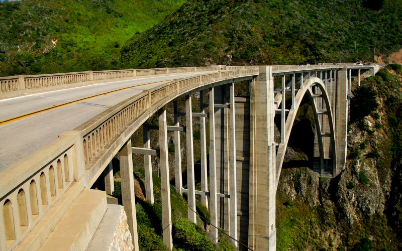
Bixby Bridge.
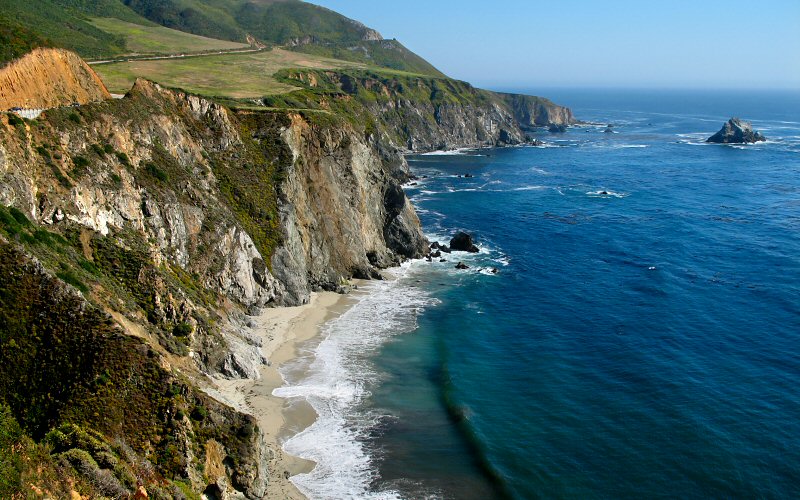
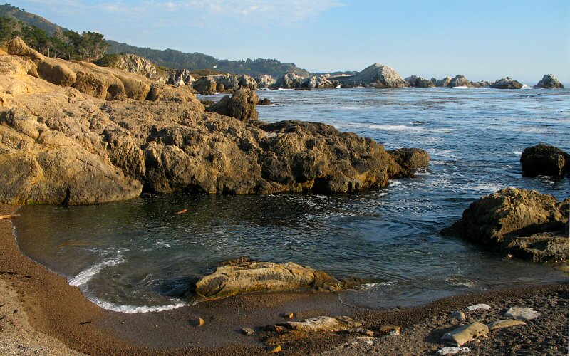
Near Rocky Point.
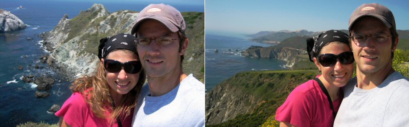
Proof we were there.
» point lobos
Point Lobos packs a lot of beautiful scenery into a small space. All of the hikes are rather short but very scenic. Unfortunately it was a cloudless evening by this time so it was hard to take a good picture because of the harsh lighting. Would have been a nice place to watch the sunset but the park closes well before then.
Point Lobos packs a lot of beautiful scenery into a small space. All of the hikes are rather short but very scenic. Unfortunately it was a cloudless evening by this time so it was hard to take a good picture because of the harsh lighting. Would have been a nice place to watch the sunset but the park closes well before then.
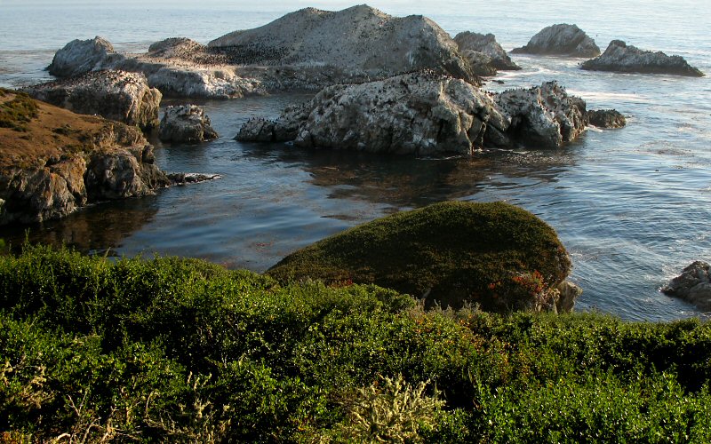
Bird Island. This was a huge rock or small island that was covered with thousands of birds. The birds can barely be seen in this picture as black specks.
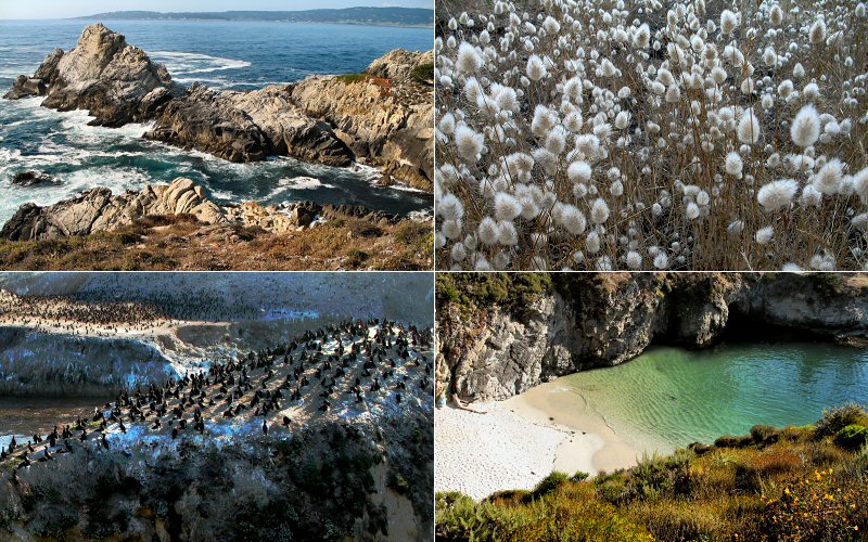
Top Left: Typical shoreline at Point Lobos. Top Right: Thistles. Bottom Left: Birds on Bird Island. Bottom Right: A cove.
Weston Beach.
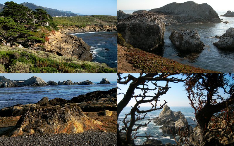
Top Left: Cypress trees. Top Right: Bird Island. Bottom Left: Weston Beach. Bottom Right: Rocks framed by Cypress Trees (Taken by Megan).
Copyright 1995- Lars Jensen | randomspace@umich.edu |