![]()
Using GIS on Ometepe
Challenges
| Research Questions | Preliminary
Analysis
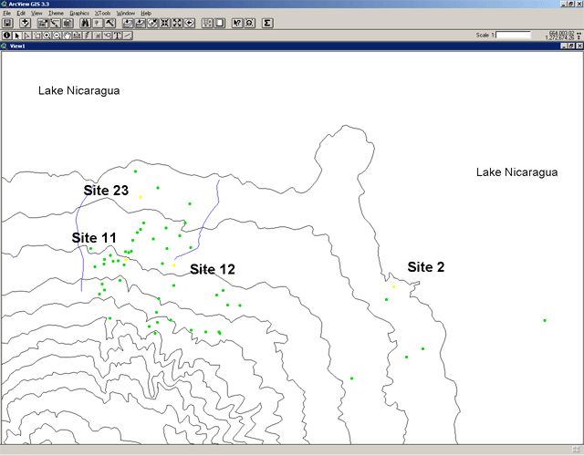
This section discusses preliminary results of spatial analysis of data from the Ometepe Petroglyph Project. As a preface, the map below gives a sense of the part of the island that has been surveyed by the Project.
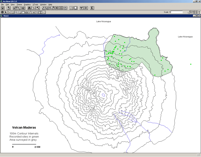
This section will discuss four of these sites, N-RIO-2, 11, 12, and 23. As is evident from below, they represent a range of elevations. They also are a representative sample of the types of petroglyph motifs that occur on the island.