WORLD GOVERNMENTS
WORLD GOVERNMENTS
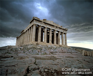
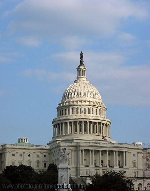
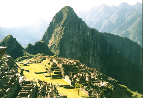
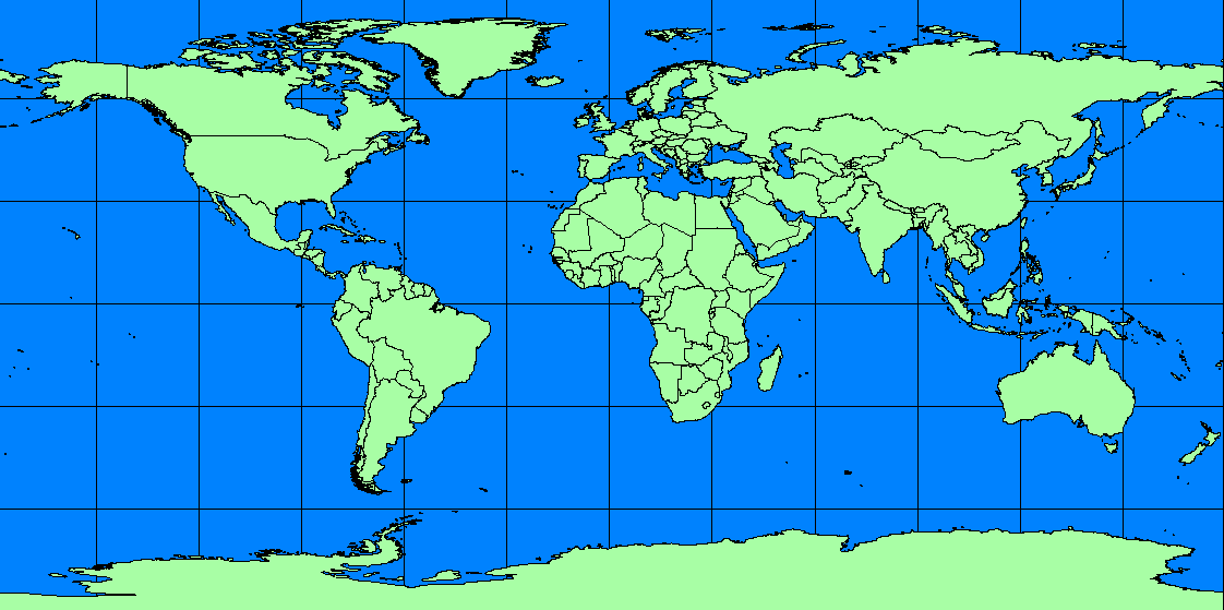
This webpage is primarily designed to help students understand the location of various countries throughout the world, as well as their respective forms of government. By clicking here students will be able to navigate to various regions of the world and particular countries in which they are interested. Each country is linked to a site where student can learn about the country's government, culture, demographics, and other various facts.
I would also like students to understand how democracy has spread throughout the world during the 20th century. By clicking here, they will be able to watch an animated map that depicts (at five-year intervals) the growth of democracy.
Much of my rationale for this work is based on my experiences in the classroom and recent commentaries about students' lack of geographic literacy. Unfortunately, I have been somewhat guilty of assumptive teaching, and I hope this website provides a means to better educate my students with regards to the political geography of the world. Obviously, having some sense of place in the world is invaluable to understanding historical events and topics, for example. Click on the link below to see an article regarding this issue and a link to the survey.
"Young
Americans Still in the Dark on Geography"
SPATIAL RELATIONS
Secondly, I would like to demonstrate the size of certain land masses and bodies of water by comparing and contrasting them to land masses (U.S. states) with which the students may have greater familiarity. I would like to create comparisons that would be relevent to my teaching and various current events
Test your ability to gauge the land area of various countries. Click here to see if you can successfully match the land area of a country to the land area of the U.S. state that is most similar in size.