 Main Phase Two Phase Three Phase Four
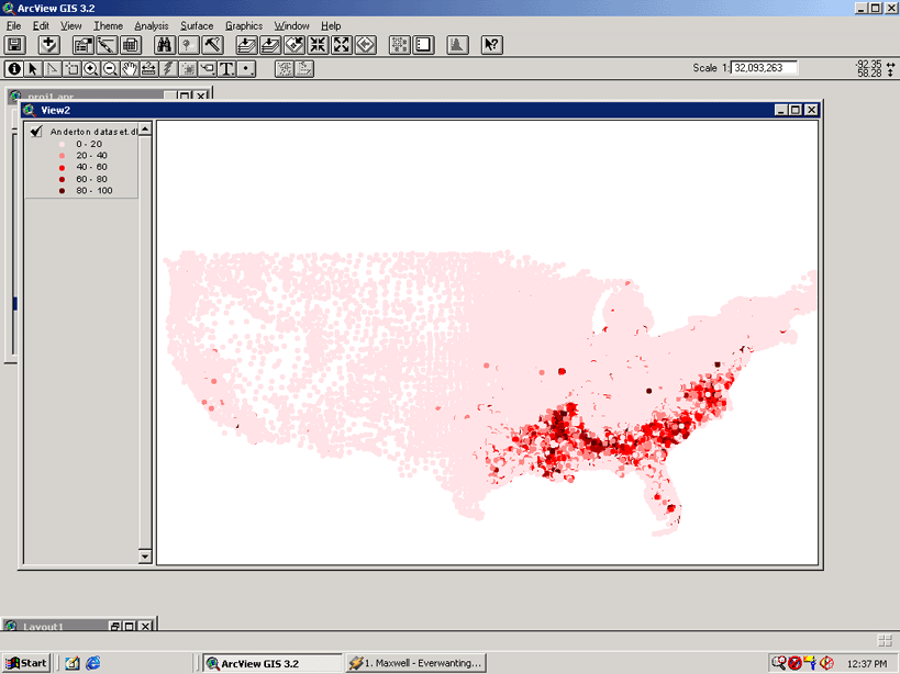
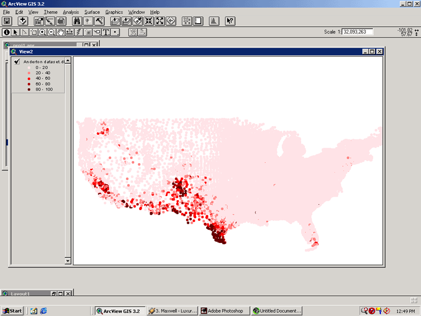
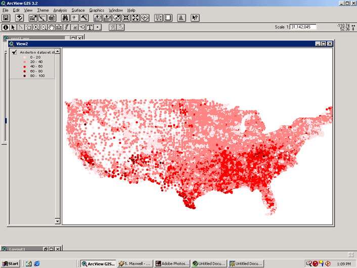
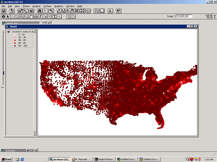
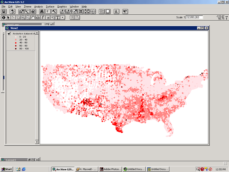
The Anderton Dataset contains over 62,000 cases, each case representing a US census tract. In addition, there are 70 variables. The shapefile contains the centroid of each US Census tract. The last five variables below have been used to detect spatial patterns. Selected variables include:
|
Variable Name
|
Description
|
|
AREALAND
|
land mass in square kilometers
|
|
AREAWAT
|
water bodies in square kilometers
|
|
CERCDUM
|
the absence (0) or presence (1) of at least one CERCLIS
site within the tract
|
|
NPLDUM
|
the absence (0) or presence (1) of at least one NPL
site within the tract
|
|
XVALU
|
mean aggregate value of owner occupied housing
|
|
RENTERU9
|
percentage of renter occupied units
|
|
TAGE19
|
total persons 0-15
|
|
TFHEADH9
|
percentage of female-head of households
|
|
TOTBH9
|
Total Black households
|
|
TOTPER9
|
Total Persons
|
|
EPAREG
|
Environmental Protection Agency Region
|
|
OMNGTNP9
|
percentage employed in management or technical occupations
|
|
OPREOPP9
|
percentage employeed in production and operator occupations
|
|
HINCMD9
|
median household income in 1989
|
|
percentage of Black persons
|
|
|
percentage of hispanic persons
|
|
|
percentage of persons over 18 without high school diploma
|
|
|
percentage of households with income less than $50,000
|
|
|
percentage of families at or below poverty level (based
on family of 4)
|