Outline and Methods 
Where are we?
How has vegetation in the Ottawa National Forest 
changed over time?
What do deer have to do with vegetation?
How will I examine the available data?
Ottawa National Forest map shown here is supplied by
 http://www.gorp.com/gorp/resource/US_National_Forest/MI_OTTAW.HTM#map
Step1:
Since available habitat 
has the potential to limit deer
densities,
I need to establish time frames by 
which I can analyze changes in 
vegetation over time.
Time frames used:


1. Presettlement Vegetation

2. Current Vegetation 

 
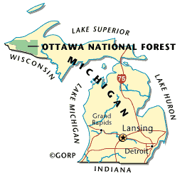
These data were taken from the Miris1 Database available through the University of Michigan SNRE-GIS Research Laboratory.
Available through the Michigan DNR
 
 
Step 2:
 
Gather as much possible information 
on the historic and current 
deer populations for each time frame
being examined.
Data Sources:

U.S. Forest Service; Ottawa National Forest 

Mointoring and Evaluation Report, FY 1994

MI Department of Natural Resources; Marquette

1997 Michigan and Wisconsin Deer Exclosure Survey
Report to LS-FOREM Northern Hardwoods Subcommitte
 
Step 3:
Analyze patterns of 
vegetation change
and deer densities over time. 
Look for correlations between change
in vegetation and deer densities.
Tools:

ArcView 3.1 

Excel 

These software programs were made available by the 
University of Michigan Campus Computing Sites 
(at infrequent intervals.)
 
Step 4:


Form conclusions from the patterns 
observed between the changes in
vegetation and deer densities.
 
Further considerations and analyses:


Analyze the approach in estimating deer populations. 

Amount of sunlight reaching forest floor

Examine the influence of climatic patterns as measured by minimum 

temperatures 1 meter from the ground.

 
Some final thoughts on this project !
page lsat edited 14 dec 1999 lts