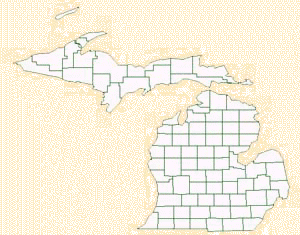
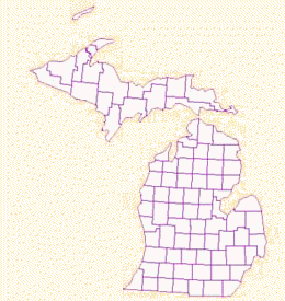
GIS DATA PREPARATION
The base layers for this project, county boundaries, major roads, and rivers, were taken from the Environmental Systems Research Institute's (ESRI) 1998 GIS Data CD. The original projection for this data was geographic ( latitude and longitude) with the WGS 84 datum. Since the image's native projection was Universal Transverse Mercator (UTM) zone 17 north, all the data to be used in conjunction with the image was reprojected to UTM. This projection is not necessarily the best when working within the state of Michigan, but inexperience and difficulties with the imaging software of choice, led me to work with the image's current projection. The images below depict the reprojection of the Michigan counties file.
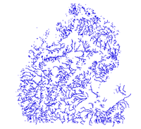 Other
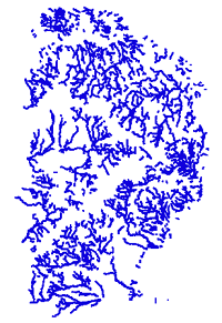
than reprojecting all the data, a redefinition of the rivers layer allowed for a quicker
processing time. The original data set covered the entire state while the area of
interest was only the northeast portion. A somewhat arbitrary clipping of the rivers
was performed, being sure to include the entire extent of the study area. Following
the rivers extent reduction, the next phase was to create a 1500 foot buffer around each
river for later analysis. The pictures to the left and below illustrate the
previously explained procedures.
Other
than reprojecting all the data, a redefinition of the rivers layer allowed for a quicker
processing time. The original data set covered the entire state while the area of
interest was only the northeast portion. A somewhat arbitrary clipping of the rivers
was performed, being sure to include the entire extent of the study area. Following
the rivers extent reduction, the next phase was to create a 1500 foot buffer around each
river for later analysis. The pictures to the left and below illustrate the
previously explained procedures.
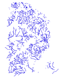
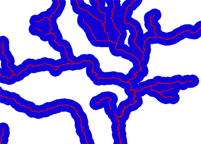 This image shows a close up of the creation of the 1500 foot
buffer around the rivers of northeast Michigan.
This image shows a close up of the creation of the 1500 foot
buffer around the rivers of northeast Michigan.