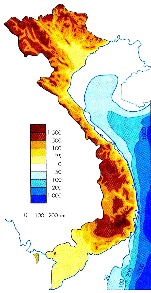
Viet Nam is the 18th richest country in the world in terms of biodiversity (WCMC 1997). It is also one of South-East Asia's Most ethnically diverse nations with 54 officially recognized groups. As a result, ethnolinguistic maps of Viet Nam are pscyhedelic nightmares, with multi-colored leopard spots scattered across space. At first glance, these patches of color appear random. This is largely due to the limitations of two-dimensional maps. When altitudinal zoning is introduced, however, patterns quickly emerge. While many exceptions exits, four broad culture areas or landscapes (van hoa canh quan) are visible:
1. Viet-Muong Lowland Area (sea level-50 meters)
2. Thai-Tai Valley-Basin Zone (50-150 meters)
3. Mon-Khmer Intermediate or Fringe Zone (150-400 meters) + Khmer groups living along the Cambodian border
4. Dzao-Hmong Highland Zone (400-1500 meters)
These very general classifications are now blurring for a variety of political and economic reasons. The remain useful here, however, if for no other reason than they help overcome the tendency to think of each patch of color as constituting a wholly separate and autonomous ethnic group. Towards this end, the clickable map below associates elevation with ethnic identity (scaled according to density within a province).