|
|
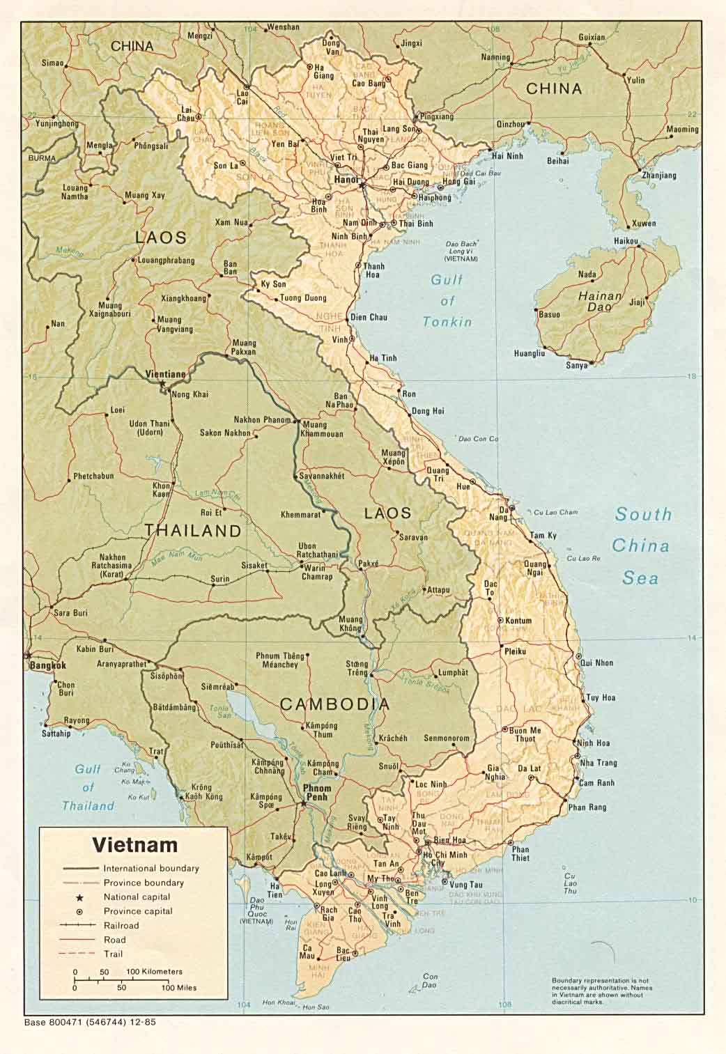
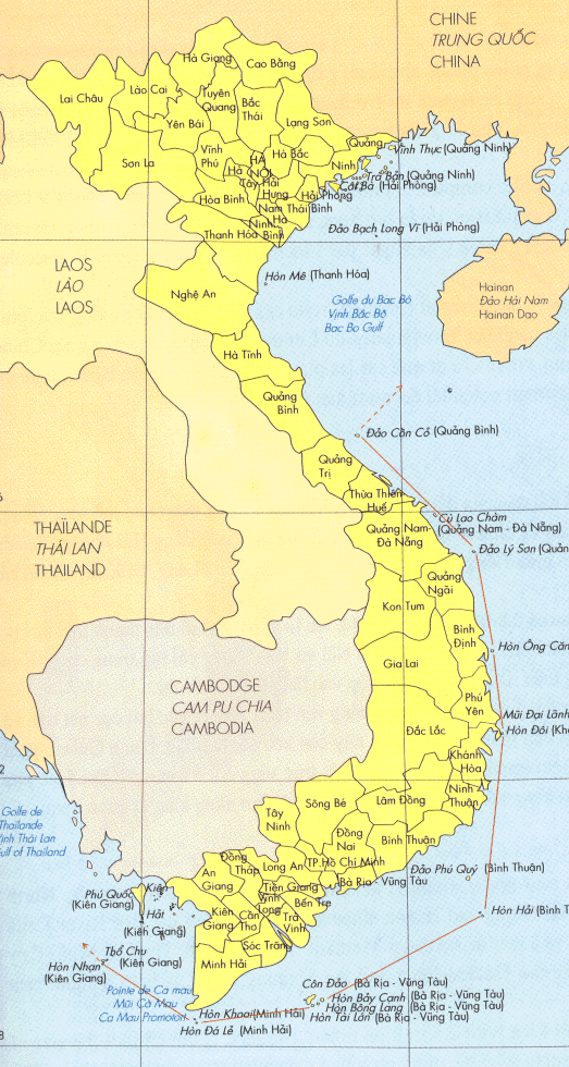
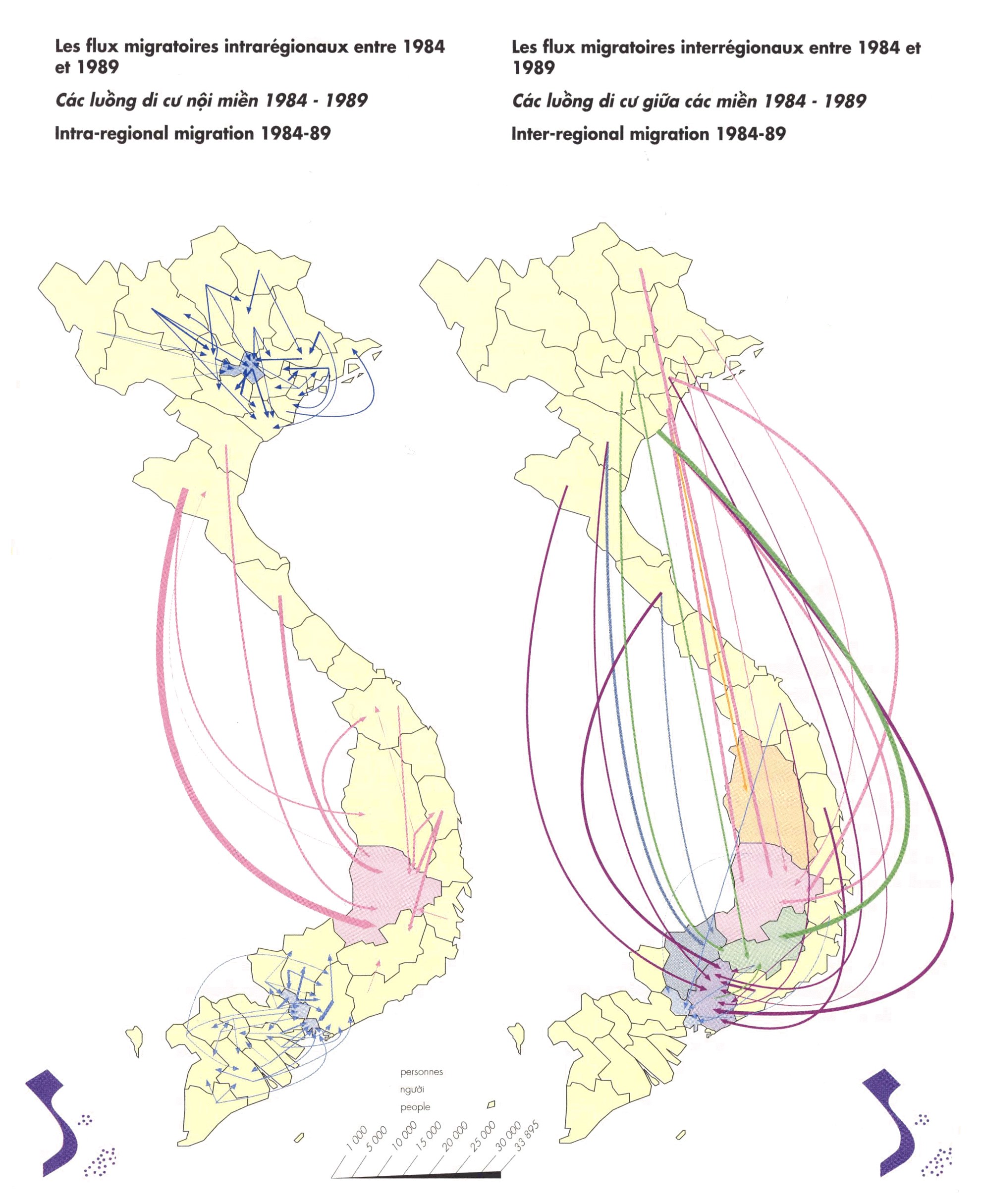
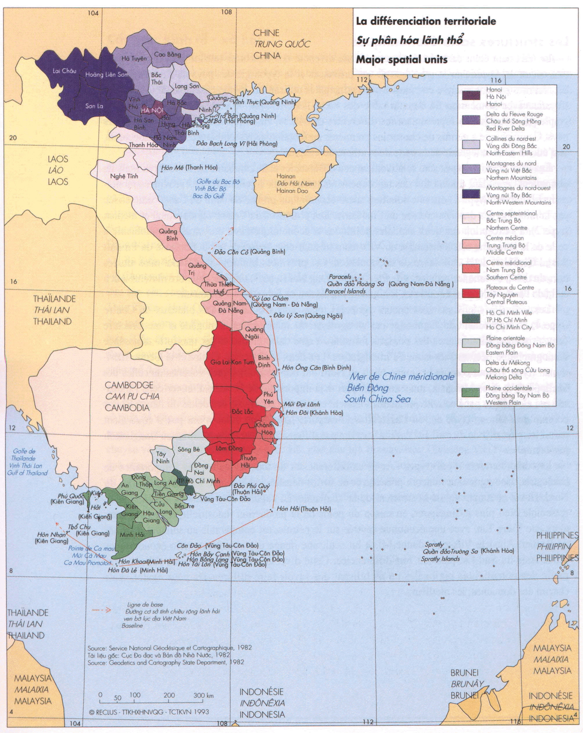
The maps included here are not directly related to my research on sustainable development projects in northern Viet Nam. Due to data collection problems, I opted to modify a series of maps in order to familiarize myself with different software packages. The end-products were created using: Claris, Adobe Photoshop, Netscape Communicator, Arcview, Atlas, Digital Charts of the World, Map-Edit (clickable maps),GIF Movie Gear (animated maps), MS Excel, as well as software extensions for a 3-D map.
Mapping Ethnic Diversity:
These Maps are Color-Coded on the Basis of 1990 Census Data. The darker the color, the greater the percentage of the province's total population.
Relief Maps:
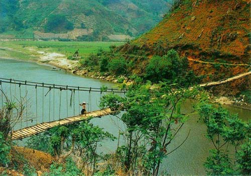
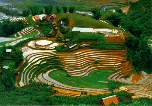
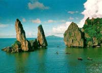
Other Maps and Items of Interest:

