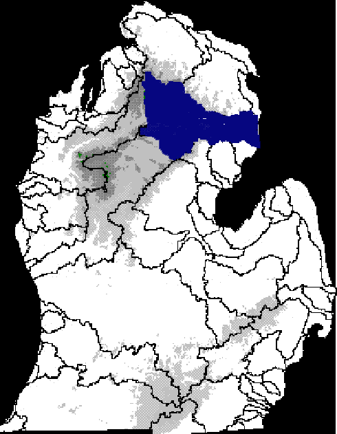
| The Au Sable River Basin shown in blue against the elevational coverage of the lower penninsula of Michigan. Other major river basins are outlined in black. |
The Au Sable River is one of the major drainage basins of Michigan's lower penninsula. Its catchment covers over 4500 km2 (DePhilip, 1997) and drains into Lake Huron. The river's headwaters are north of Grayling; there are six hydroelectric dams on the main branch of the river between Mio and Oscoda. As a predominantly groundwater fed coldwater river, the Au Sable River supports brook trout and brown trout in its headwaters. Historically, the fish community probably supported arctic grayling as well, before the extripation of that species at the turn of the century.
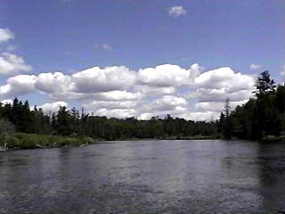
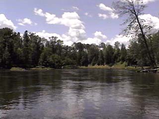
The area I am most concerned with is that between the Mio Dam and the Alcona Dam backwaters. This stretch of river is approximates 32.9 km in length (DePhilip, 1997). This stretch of the river flows through the Huron National Forest and is listed as a National Scenic Riverway. The dominant land use is forest. The river flows through areas with considerable topographical relief (for a lower Michigan stream). The reach between Mio Dam and Alcona Dam Pond flows mainly through glacial outwash with moraines on either side of the channel valley, consequently the considerable groundwater inputs.
The Michigan Department of Natural Resources stocks
approximately 11,000 brown trout (Salmo trutta)
and 32,000 rainbow trout (Oncorhyncus mykiss) into this impounded
reach annually. Walleye (Stizostedium vitreum)
were stocked into the impoundment above Alcona Dam (Alcona Dam Pond) until
1990. The objective of my study is to determine the relationship between
brown trout and walleye residence in the stream and habitat characteristics--from
in stream parameters such as available cover, temperature, and current;
to landscape level characteristics such as gradient and areas of high groundwater
inputs. Additionally, I want to characterize the nature of the interactions
between brown trout and walleye in terms of habitat overlap, predation/cannibalism,
and possible competition for food resources.
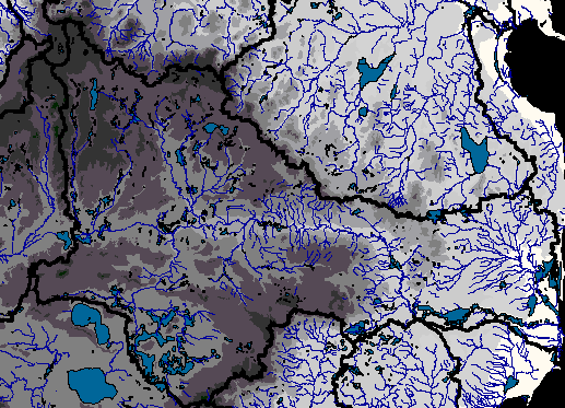
The Au Sable River basin--a closer look showing the river and its tributaries against the elevation in the area. The thick black lines represent catchment boundaries.
Low elevation (173--212m)
High elevation (366--405m)

A closer look at the area I'm most interested
in; that between Mio Dam and Alcona Dam pond.
*fish distribution and cross section data is hypothetical. These data were created for the purpose of this ras/GIS/spatial analysis exercise and should not be considered valid!!!
Unless otherwise noted, all images were
created in ArcView. Cover layers are property of the Michigan Rivers
Inventory (MRI), a cooperative effort between the University of Michigan
School of Natural Resources and Environment and the Institute for Fisheries
Research. ArcView images were converted to .jpg or .gif files using
Adobe photoshop. Photographs of the Au Sable River are from the United
States Forest Service Huron Manistee National Forest home page. Images
of brown trout, walleye, and electrofishing are courtesy of Gappy at the
Institute for Fisheries Research.