
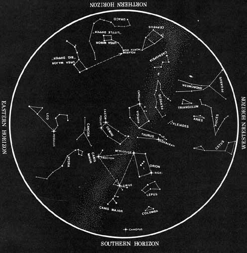
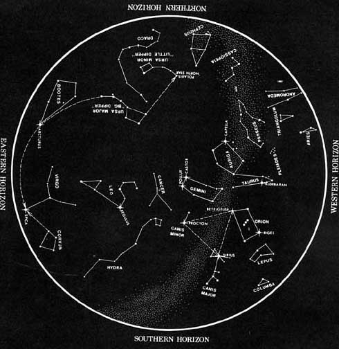
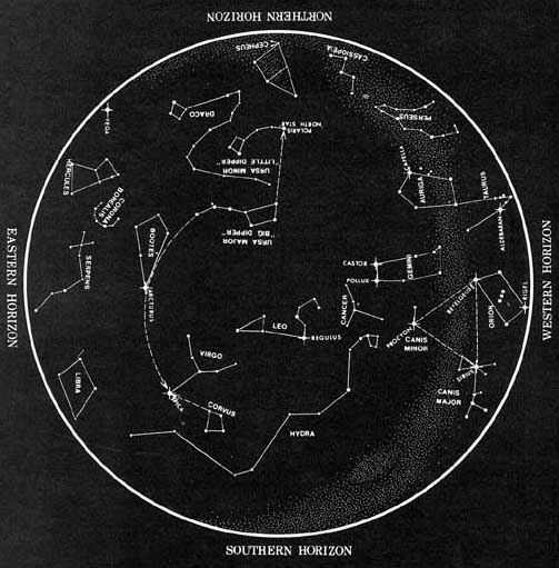
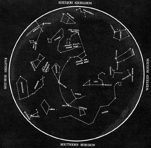
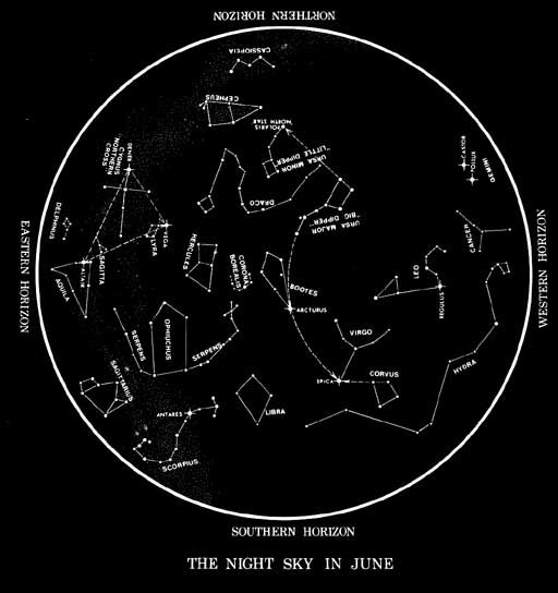
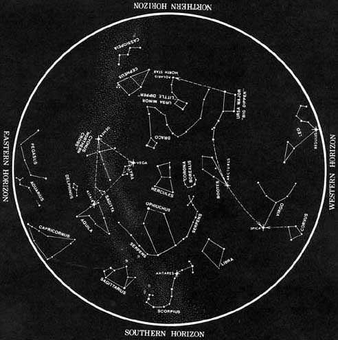
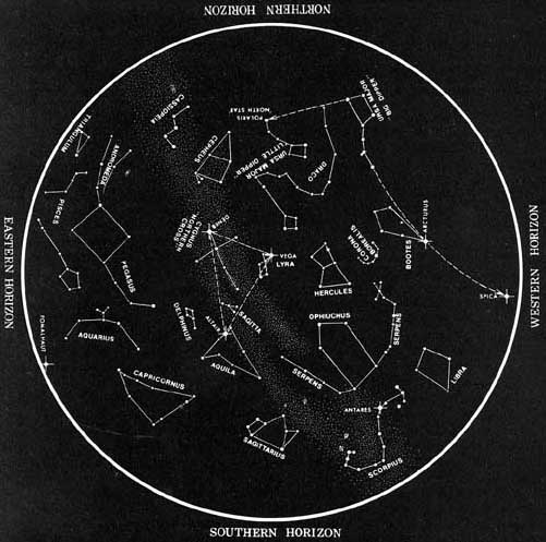
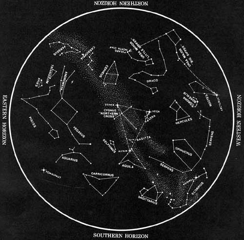
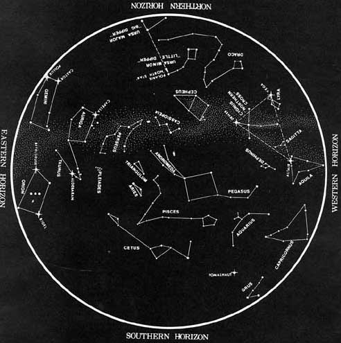
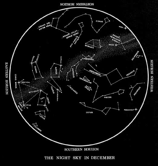
The latitude for charts on this
page is 34oN, but all charts are practical for use throughout
the continental United States.
To see a full sized, readable chart, click on the month you would
like to view.
|
|
|
|
|
|
|
|
|
|
|
|
|
|
|
|
HowTo Use Charts:
Hold chart vertically and turn it so the direction
you are facing shows at the bottom. For example, if you are facing
north, turn chart so that the words
Northern Horizon are at the bottom (closest
to you).
Please note:
In order to locate constellations star charts can be helpful, especially
to the novice. However, these maps can be difficult to read because
their orientation is slightly different from earth maps. To find
out more about star maps, please click here: Mapping
the Stars
| Home |