- Assets vs Needs-based development
- Top-down vs. Bottom-up planning and development
Tasks/Goals
- Funds community-based agencies
- Wants neighborhood-up decision making
- Interested in coordinated regional planning
- Interested in building community capacity
- Wants needs and assets in equation
Old Methodology
- Conduct county-wide needs assessment
- Allocate funds based on results
- Missed neighborhood specific information
- Emphasized needs and ignored assets
New Methodology
- Assess needs of communities
- Present community assets
- Link needs and assets
- Improve planning function
- Increase community participation
- Better targeted funding
- Coordinate regional change
- Collect "encyclopedia of data"
- Develop working relations with data sources
- Present data to encourage community analysis, participation, and action
- Build local GIS capacity (United Way and community)
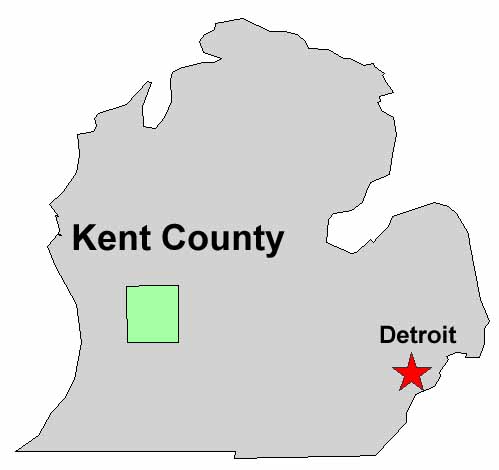
Kent County?

 |
 |
 |