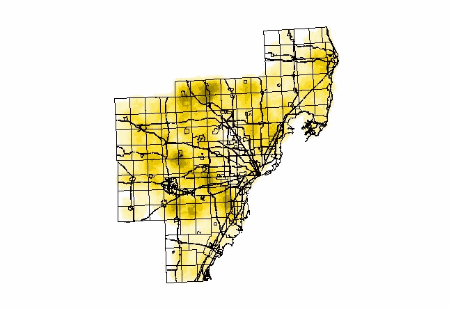
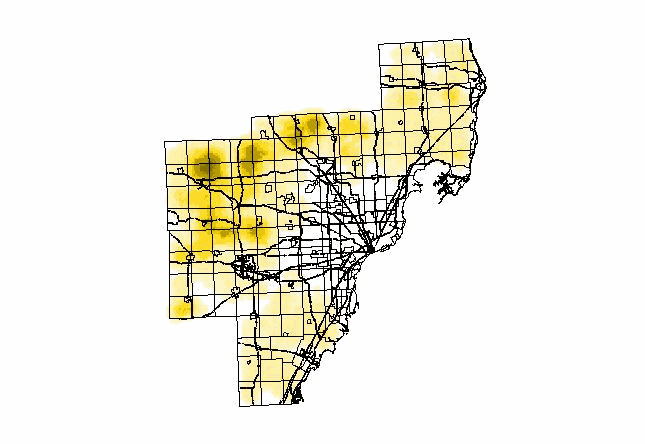
The Definition of Low-Density Residential Land
Use:
-
Low-density residential land use here refers to the
land use category single family / duplexes in the land use coverages from
SEMCOG.
-
This category includes areas having detached single
and two-family structures generally containing an average gross density
of no more than 6 dwelling units per acre (15 units per hectare). Lawns,
driveways and associated structures such as garages, tool sheds, garden
sheds, etc., should be included in the category. Strip residential areas
should be identified if they consist of 2 or more contiguous dwellings
where the combined lawn areas amount to 5 acres or more.
|