What do you see?
-
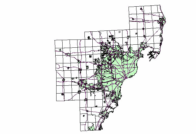
Slide1: The light green area is the sewer zone before
1985.
-
Slide2: The dark green area is the new sewer zone between
1985 and 1995.
-
Slide3: The dots are new low-density residential developments
between 1985 and 1995.
-
Slide4: Click on the map to see zoomed-in views of
the two circled areas.
|