What do you see? 
     
  • Slide1: The light green area is the sewer zone before 1985.
  • Slide2: The dotted red polygons are the business and institutional land use before 1985.
  • Slide3: The dark green area is the new sewer zone between 1985 and 1995.
  • Slide4: The red polygons are the new business and institutional land use between 1985 and 1995.
  • Slide5: The dotted dark green area is the potential hook-up zone to the new sewer zone between 1985 to 1995.


Conclusion: 

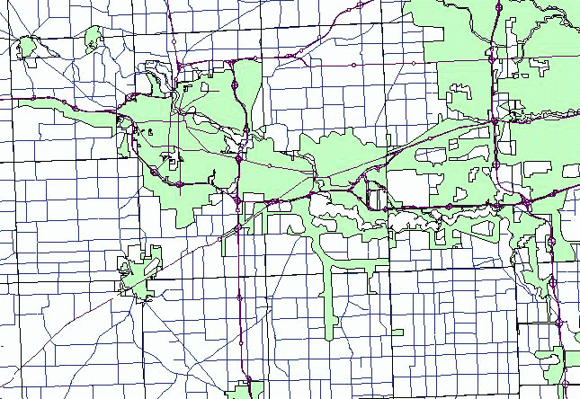
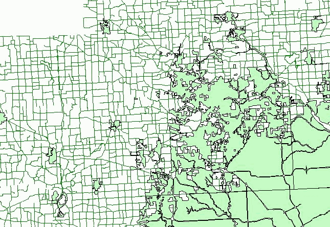
Business and institutional land use is mostly located along major traffic corridors. Some of the business and institutional developments before 1985 were sprawling out of the sewer zone before 1985. They seemed to dictate where new sewer zone went. Then, the new business and  institutional developments between 1985 and 1995 were somehow located within the new sewer zone, otherwise the potential hook-up zone of the new sewer zone.