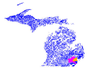
Welcome to my comparative study of the Rouge and Huron Watersheds. Click on either watershed to the left to see a more detailed version of each watershed. From here you will be able to click on parts of each watershed that will take you to GIS maps dealing with comparisons of populations, impervious surfaces, and land use differences betwen these two watersheds.

This comparative study began as an idea for a project that I developed for a Global Information Systems (GIS) class I took in the fall of 2000 at the University of Michigan. My interests in rivers and watersheds began with my carreer as a whitewater rafting guide in the western United States. It was in this part of the country that I was able to recognize the importance of rivers and watersheds and the part they play for the inhabitants of their boundaries. Upon return to the Detroit area in 1998, I began working as an intern for the Rouge Education Prject (REP). Later, I worked for the REP in a different capacity facilitating workshops for the resource assistants that help with the project every year. When the opportunity arose to chose a mapping project, I naturally thought of the Rouge Watershed and later I included the Huron Watershed as well.

I was interested in comapring several different aspects of these two watersheds using a few different parameters. Included in following maps you will find comparisons of the watersheds by population, surface area of impervious surfaces, and the differences in land use. I realized that this would be a valuable tool since in researching and collecting data for the Rouge and Huron Watersheds I never came across and information that compared these two watersheds directly. Hopefully the research I have done and this project will help us maintain and improve the quality of these watersheds.

 
Click here to see a detailed map of the Rouge RiverClick here to see detailed map of the Huron River
click here for a more detailed map of the watersheds