PLANNING FOR TREES:
GEOGRAPHIC NEIGHBORHOOD SIGNATURES BASED ON CRITICAL ROOT ZONES.
When tree roots and impervious surfaces meet each other, disaster is usually the result. First, the concrete house foundation, driveway, sidewalk, or sewer line gives way to the tree roots--disaster for the surface and its owner, and then in retaliation, the tree may well be cut. The problem of course is that the long-range pattern of tree root growth was not anticipated by the original developer of the parcel of land. Most people think only of how the trees and shrubs look, and how they will enhance property sales, at the time of construction. The cumulative effect of initial lack of consideration of this problem leads to disaster years later: disaster to homes, to sidewalks and sewer lines, and, to tax base that gets gobbled up in law suits. All of this could have been avoided by planning for trees that considered the problem of conflict between roots and surfaces and adopted a strategy for minimizing or resolving this conflict. Indeed, as cities age and get rebuilt, it is as important then, as it is for the emerging pristine development, to consider this problem.
The research question is to develop a strategy that minimizes or resolves the conflict between these two sets of systems (one natural, one human). One strategy that would address this problem is to map existing neighborhoods based on the geometry of the infrastructure of existing housing stock (footprint/rooftop and driveway), sidewalks, street curb, water and sewer lines, and (perhaps) overhead lines. Distance contours at a 1 foot (or other) interval from each of the chosen items would be the base from which a critical root zone map would be created. The final product would be a detailed map of one neighborhood in a brochure and on a website, containing the map and pertinent related information, to be distributed to each home in the neighborhood and to the Planning Department for with neighbors and petitioners. Follow-up with the Homeowners Association and posting of information on their website would encourage individual parcel owners to consider the merits of planting not only non-invasive species (with the list from the City) but also plantings with correct root ball size (information from local nursery personnel or land development coordinator) to avoid future difficulties with impervious surfaces.
The neighborhood for proposed pilot study is the Bromley neighborhood in Northeast Ann Arbor: 231 homes bounded by the south on Huron Parkway, the west by Nixon Road, the north by Bluett, and the east by Prairie.
SAMPLE MAPS
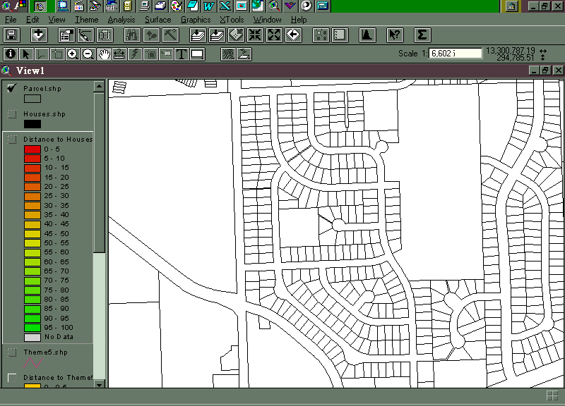
Bromley subdivision from the City of Ann Arbor parcel map
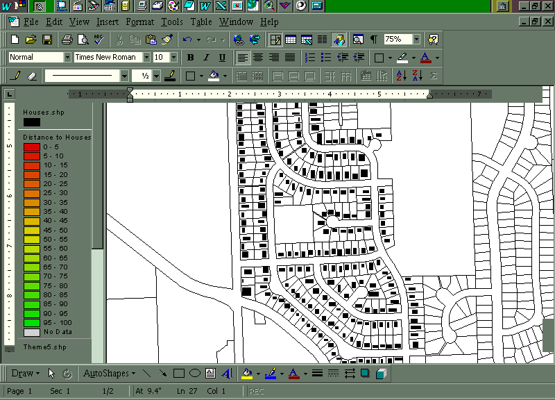
House footprints (hypothetical here--to be digitized from orthorectified aerial photos).
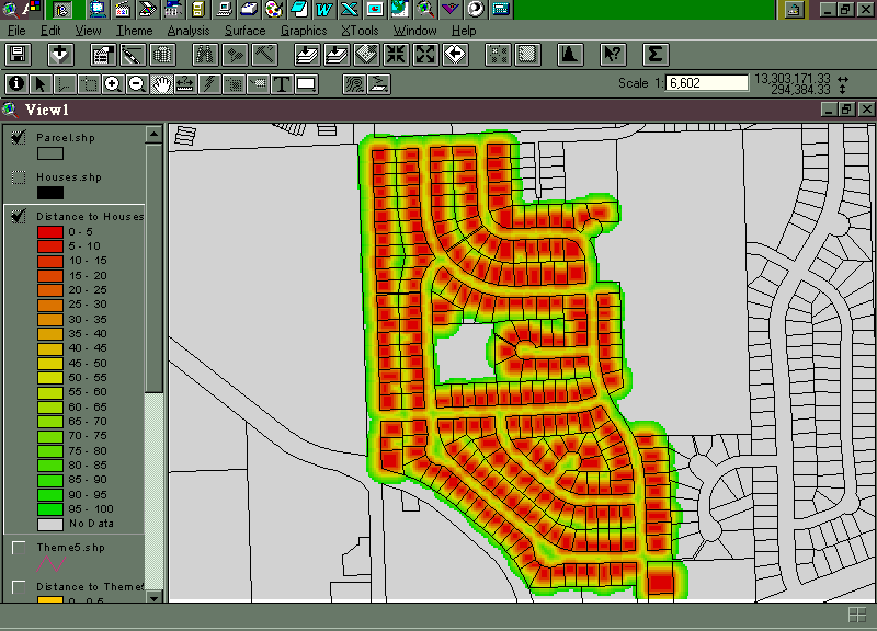
Distance from houses: in the yellow 40-45 foot zone one could plant a tree with a mature root system of less than 45 feet without having that system reach the nearest house.
Other human systems should be digitized and overlain on the house footprint root ball contour pattern; here is a sample with hypothetical infrastructure/sewer line.
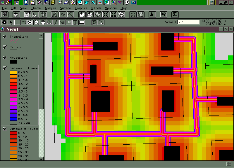
In the detailed view above, one sees the gradation in away-from-the-house contours. The size of each is 5 feet. Homeowners who are aware of these distances and unseen difficulties would likely wish to choose planting patterns to avoid future harm/expense to their impervious surfaces. Overlaying various layers creates a pattern that is more intricate than that shown here and it is that pattern, that tells where it is safe, with respect root distance from impervious surfaces, that is the critical root zone geographic signature of the neighborhood. With such a long-range planning effort, the homeowner wins, the City wins, and the trees win.
Natural Features Ordinance does not apply to single family lots--this sort of information would encourage homeowners, for their own interest, to plant reasonable trees (especially when coupled with the city list of invasive species).
Various courses could play into this effort: any course that uses GIS; environmental planning courses; landscape architecture courses; urban policy courses.