HOME
| RESEARCH
| PUBLICATIONS
|
ABOUT ME |
CONTACT | WHAT'S NEW? | CASSANDRA! |
فارسی | CHANNEL | OUTREACH | TEACHING | CV
Meteotsunamis:
Background:
Atmospheric tsunamis, usually known as meteotsunamis, are special cases of long period ocean waves that are created in shallow waters as air pressure gradient "resonates" with sea currents. Notable meteotsunamis are the events of 1954 in Lake Michigan, which killed at least 7 people in Chicago, 1969 in Dwarskersbos, South Africa, 1992 in Daytona Beach, 2007 in the Georgia Straits, B.C, and 2017 in the Persian Gulf. In several cases, the atmospheric disturbance travelled over large maritime basins, triggering meteotsunamis over hundreds of km and time windows of several days.
In some basins and in the presence of shallow bathymetry where water gravity waves are slow enough to allow a resonance with the occasional fast-propagating atmospheric disturbance, known as the ‘‘Proudman resonance’’, a simple model can describe generation and propagation of meteotsunamis:

Simple model to describe generation of meteotsunamis: an atmospheric
pressure “ramp”. P is the change in atmospheric pressure, and L is the
width of frontal ramp. v is the speed of weather system (Salaree et al, 2018).
pressure “ramp”. P is the change in atmospheric pressure, and L is the
width of frontal ramp. v is the speed of weather system (Salaree et al, 2018).
Whenever “wind” speed is similar to that of sea currents, they could resonate and the result is an increase in the Curren speed. Now, a homogeneous weather system replaces the arbitrary wind direction, the result is a long wave which we call a tsunami. Since such water current speeds are determined by sea depth at any given point, shallower water means slower wavers. So in wide coastal areas where either weather systems can move fast enough, or currents move slow enough (for example large continental shelves, or large shallow basins), meteotsunamis are common.
Numerical simulations and interesting directions:
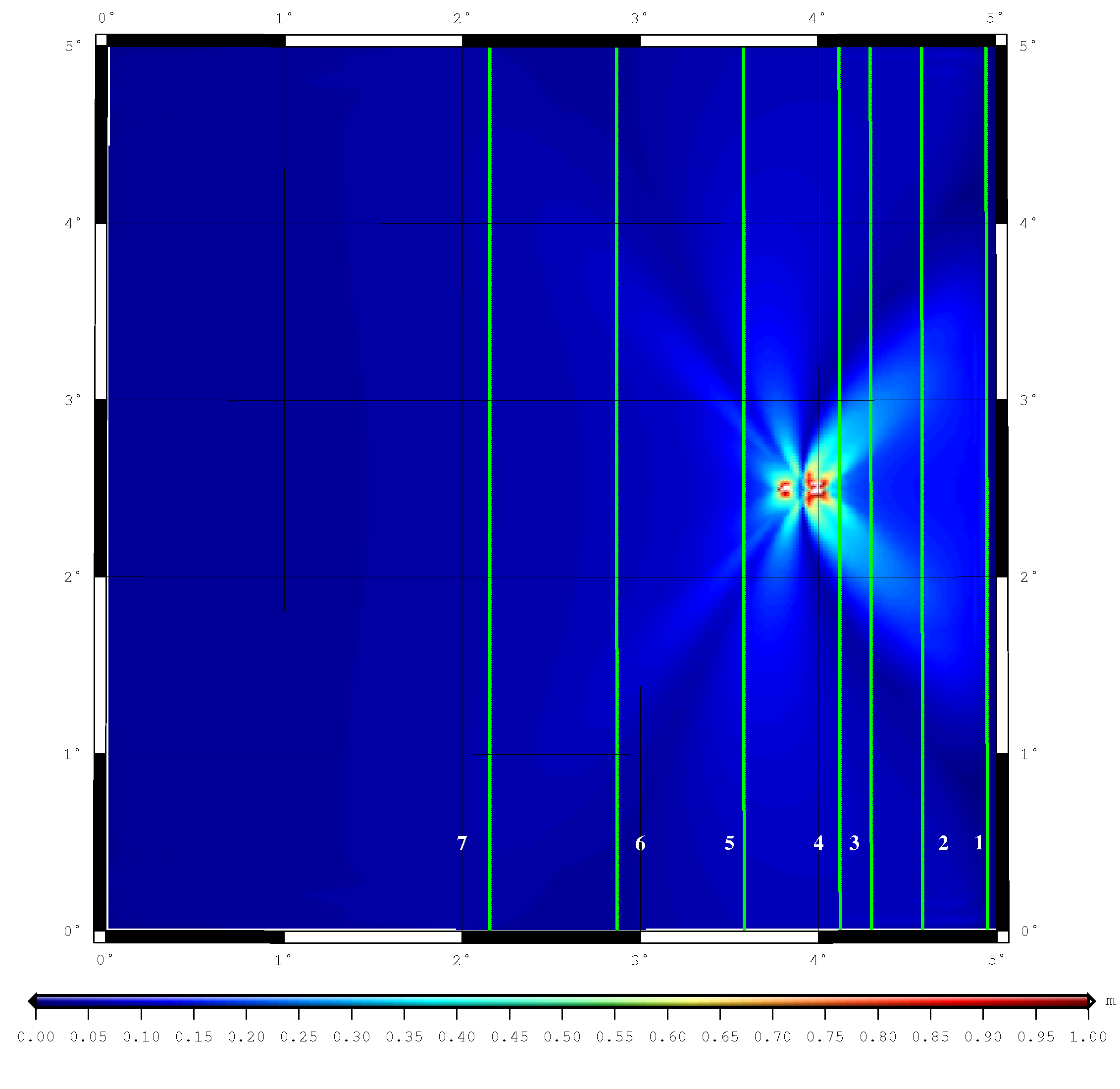
Using this simple model, we can conduct numerical computer simulations of meteotsunamis. Here is an example for a possible scenario in the Persian Gulf which is a large, shallow (average depth is ~30 m) basin with strong weather systems moving along the basin's main axis.
Watch!
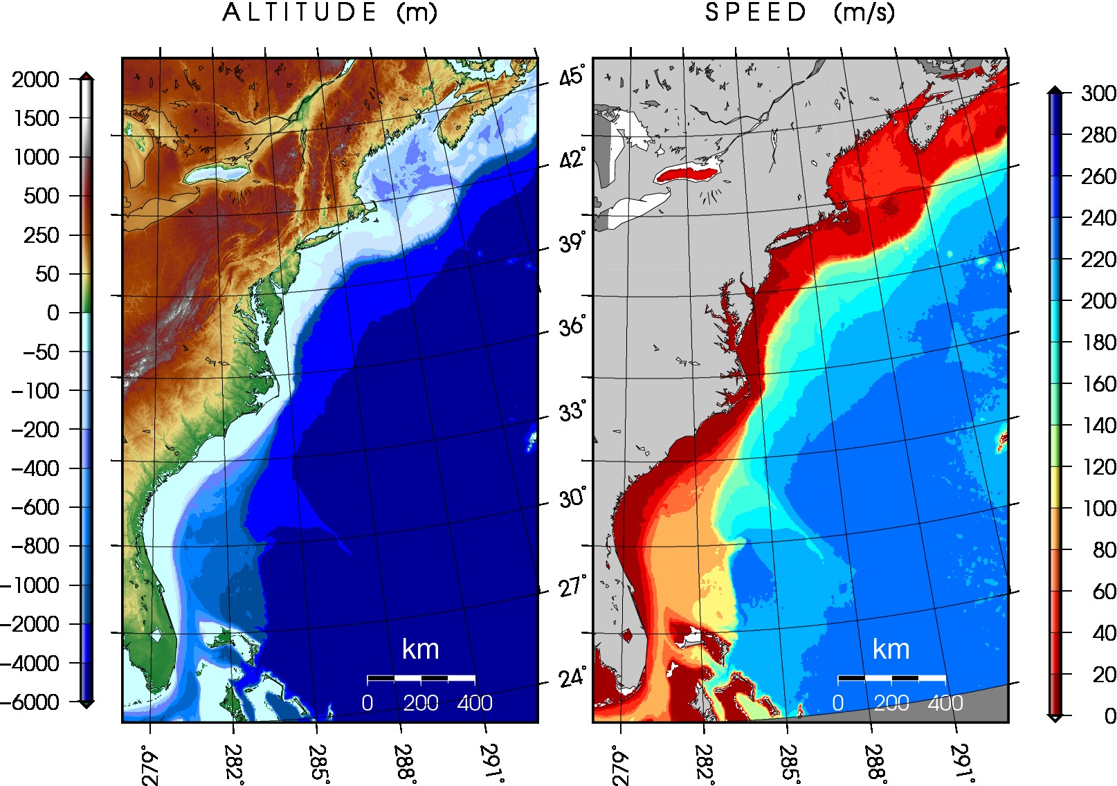
Similar work can be done in other regions. An important one is the United States East Coast.

(Left) Bathymetry of the US East Coast; (Right) non-dispersive celerity of gravity waves.
For a higher resolution figure, click here.
For a higher resolution figure, click here.
Correlation of weather systems and the current speeds from the map on the right will bear interesting results. Such studies are not only interesting from a scientific standpoint (how such continent-wide shelves interact with atmospheric phenomena), they are also important in assessing the tsunami hazard in the East Coast.