 Project
Archimedes: Project
Archimedes: Google Earth Experiments in Innovative Scientific Communication Sandra Lach Arlinghaus [also known as "Archimedes" in the Google 3D Warehouse] |
 |
The planning of
cities is both a science and an art. To fuse the two into a
sensible whole requires clear and innovative communication among
experts with widely differing backgrounds. For municipal
authorities to make informed and consistent decisions, any model,
drawing, or plan must be correctly positioned on the surface of the
Earth using some standard and replicable form of reference and
coordinate system. New buildings, bridges, and infrastructure can
work well together only when the mathematics and the science of mapping
and engineering form the foundation of the models. The resulting,
'real', built environment is aesthetically pleasing only when
scientific models are clearly communicated and visualized.
Multimedia scientific communication offers exciting opportunities to decision-makers throughout the world. Project Archimedes focuses on the use of Google Earth to communicate scientific information. It does so because that software permits
Multimedia scientific communication offers exciting opportunities to decision-makers throughout the world. Project Archimedes focuses on the use of Google Earth to communicate scientific information. It does so because that software permits
- the correct
georeferencing of 3D models built in Google SketchUp from Geographic
Information Systems files (employed by many municipal authorities) on
the surface of the Earth
- clear
visualization of these models on the surface of the Earth as virtual,
real-time, models that "look" right.
ANN
ARBOR, MI: COLLECTIONS--10 collections, 673 models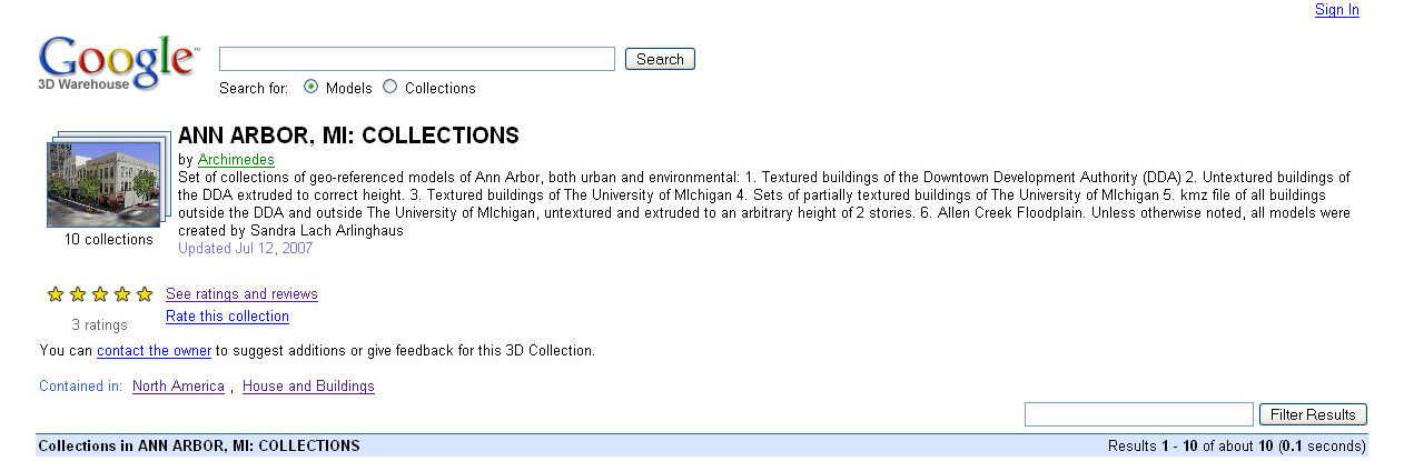 |
|
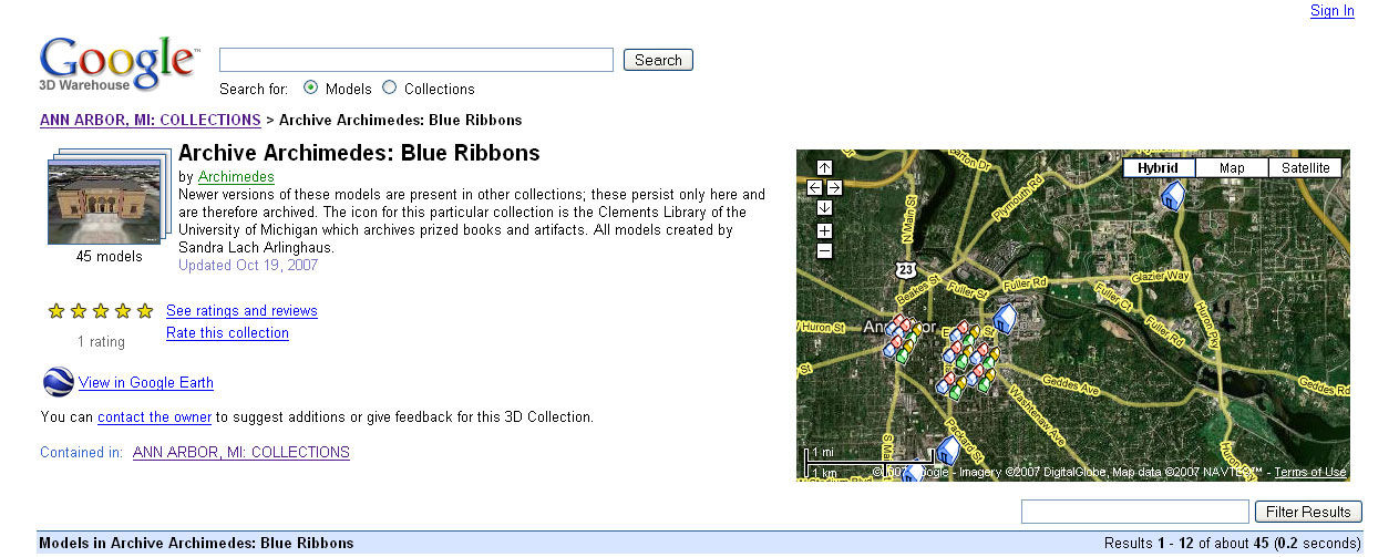
Archive
Archimedes: Blue Ribbons-- 45 models
 |
|
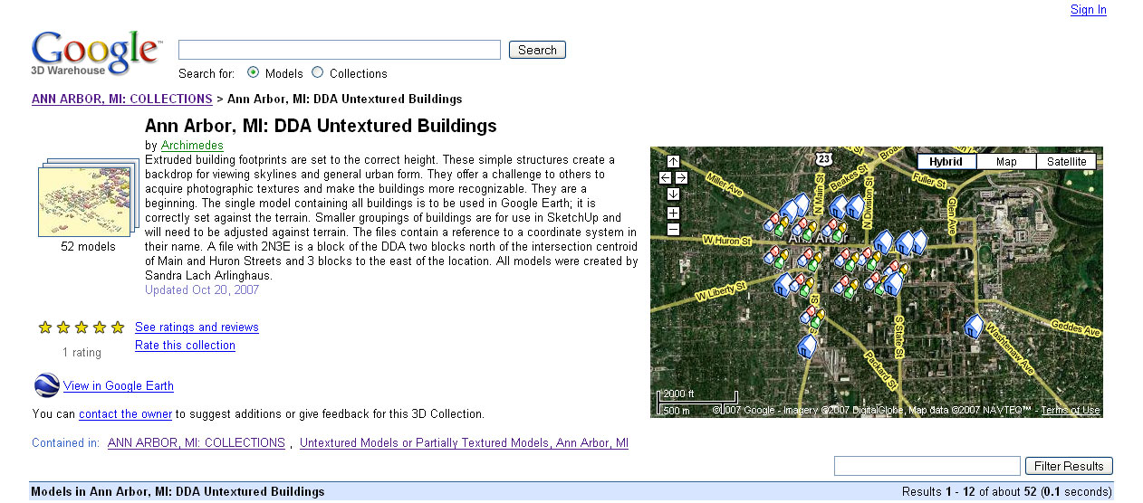
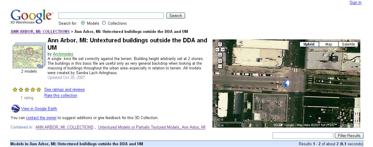
Ann
Arbor, MI: DDA Untextured Buildings--
52 models
 |
|
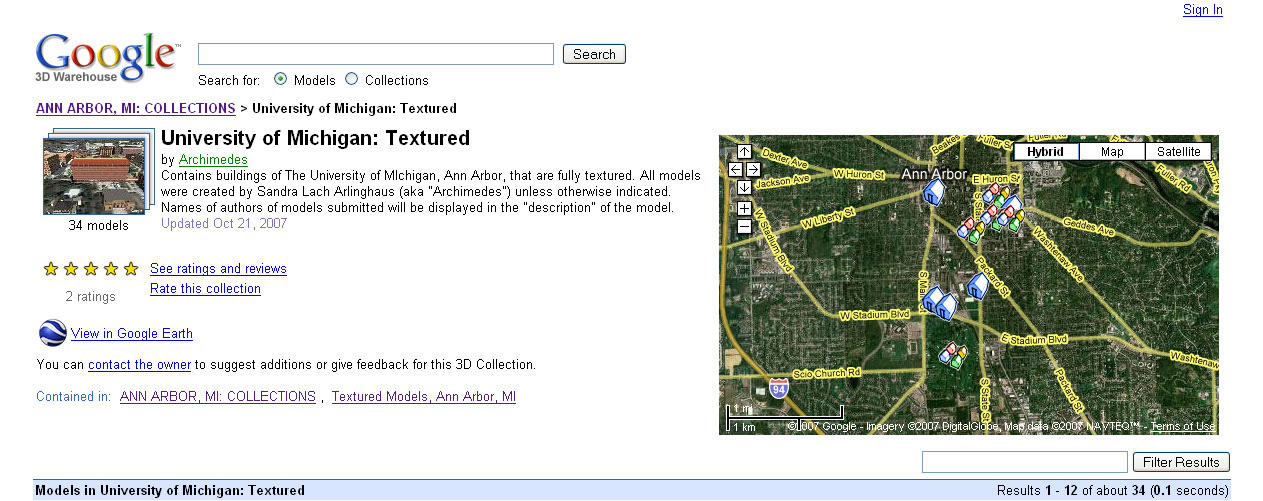
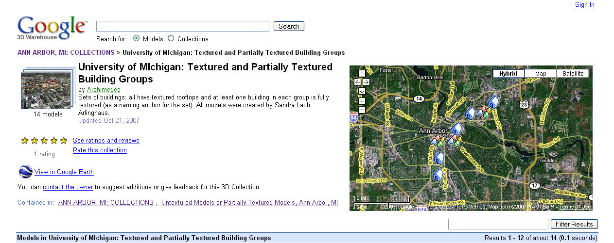
University
of Michigan: Textured-- 34 models
 |
|
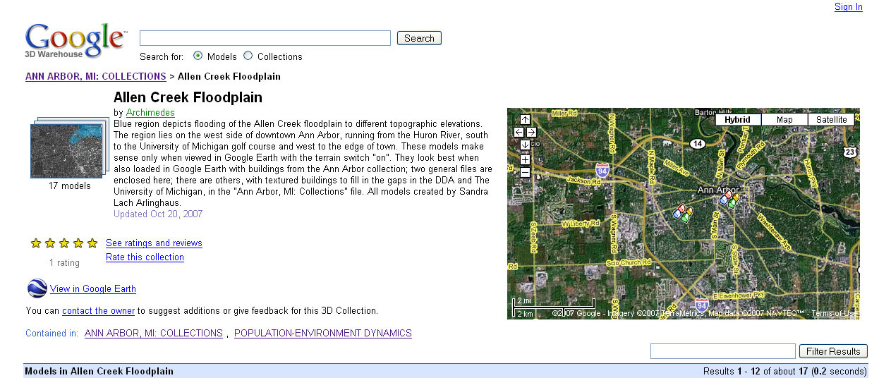
Allen
Creek Floodplain-- 17 models
 |
|
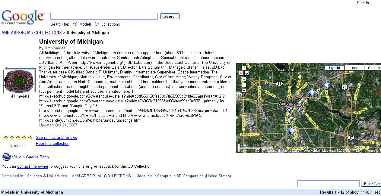
University
of Michigan-- 41 models
 |
|
Ann
Arbor-- 403 models
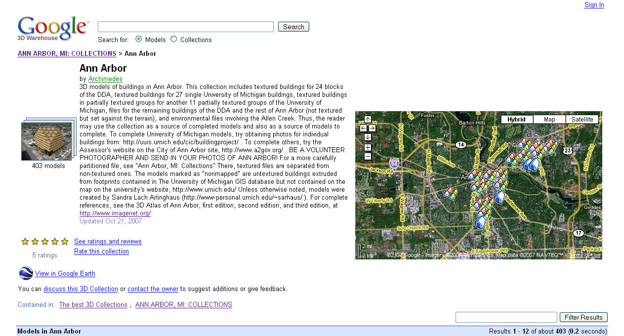 |
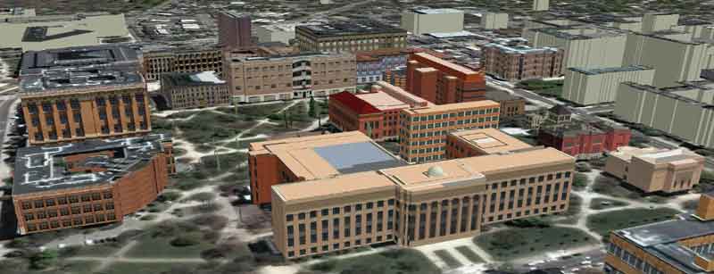
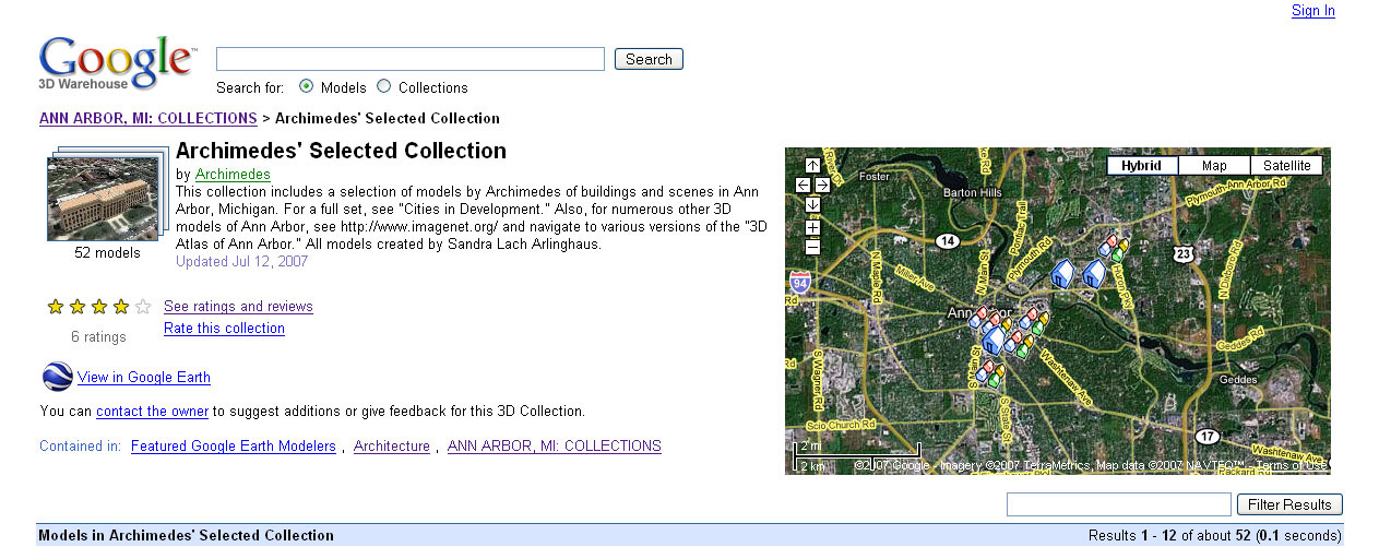
| TABLE
1: ANN ARBOR MODELS OF ARCHIMEDES. Material in the table is
formed from screen captures of content from the Google 3D
Warehouse. Many of these models, and their predecessors, have
been employed in Ann Arbor, since 1999, by the Planning Department
(under the direction of Karen Hart) and Planning Commission, by the
Environmental Coordinator (Matthew Naud), and by the Downtown
Development Authority (DDA), Susan Pollay, Executive Director.
They continue to be employed by various municipal authorities to the
present. Additionally, one set has served as a foundation for a
course taught at The University of Michigan in the spring of 2007 in
the School of Natural Resources and Environment. |
POPULATION-ENVIRONMENT
DYNAMICS--4 collections, 93 models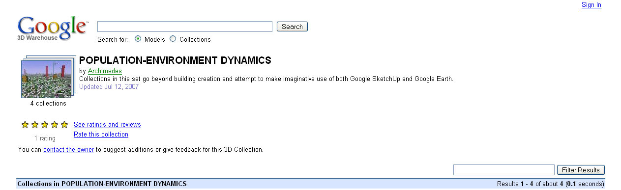 |
|
Allen
Creek Floodplain-- 17 models
 |
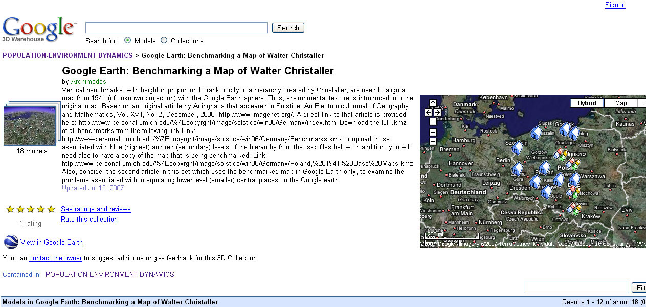
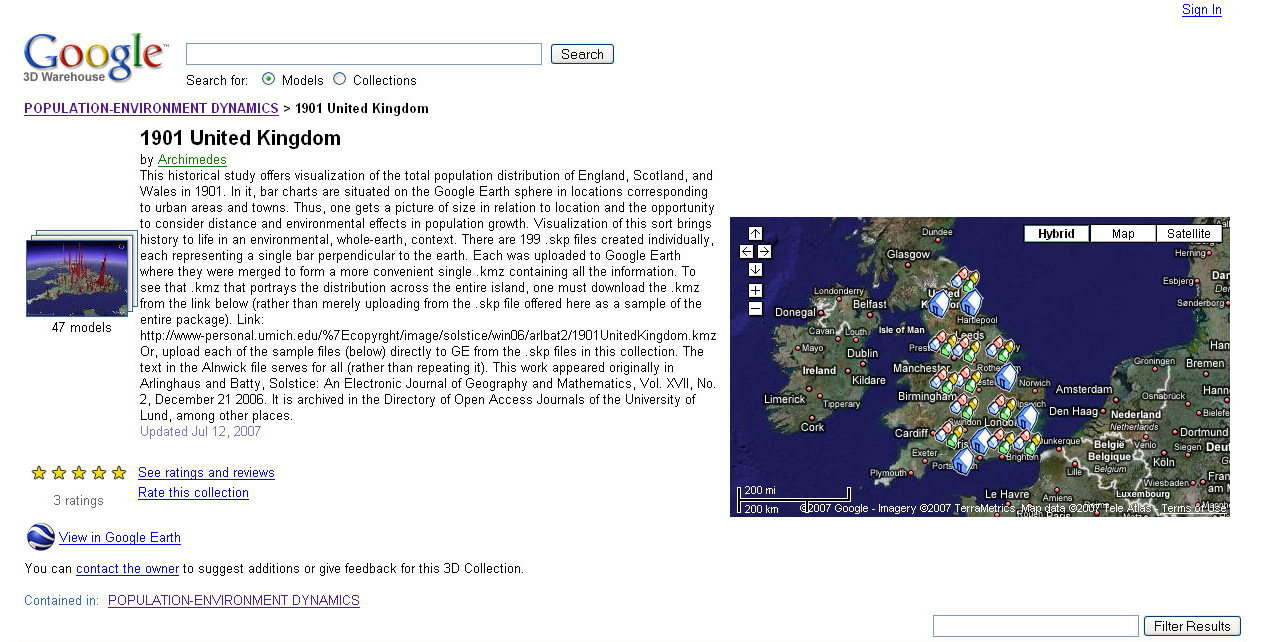
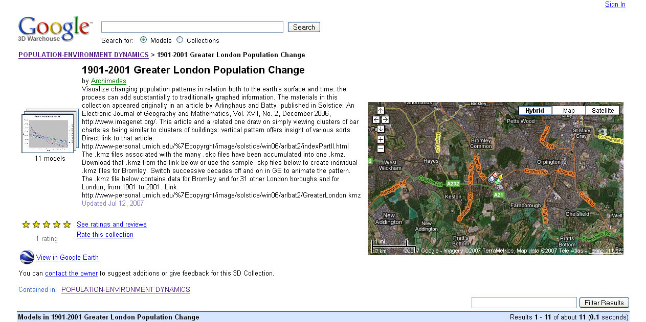
| TABLE 2: POPULATION-ENVIRONMENT MODELS OF ARCHIMEDES. Material in the table is formed from screen captures of content from the Google 3D Warehouse. The links that show visualization of the geometric components of Christaller's historical urban hierarchy use the power of the method to visualize historical materials. So, too, do the links to historic demographic data. When buildings and bar charts are envisioned as topologically equivalent then it becomes a simple matter to envision population data in place on the surface of the Earth. Conversely, virtual 3D life can be inserted into two-dimensional graphs that offer only limited views of reality. The final display in this set shows potential flooding hazard, in relation to buildings, in Ann Arbor, Michigan. These virtual 3D models have been employed by both planners and staff in City Hall as one aid in decision-making. They continue to be used in that manner. |
3D
Building Collections |
Featured
Google Earth Modelers |
Colleges
& Universities |
Help
Model Ann Arbor, MI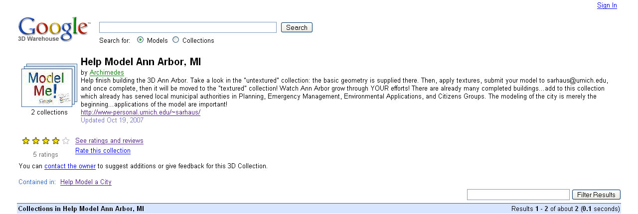 |
Model
Your Campus in 3D Competition (United States)--83 collections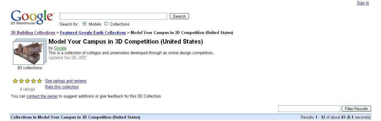 |
Cities
in Development--6 collections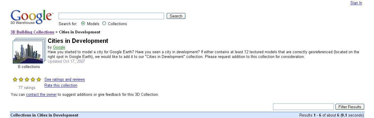 |
North
America--71 collections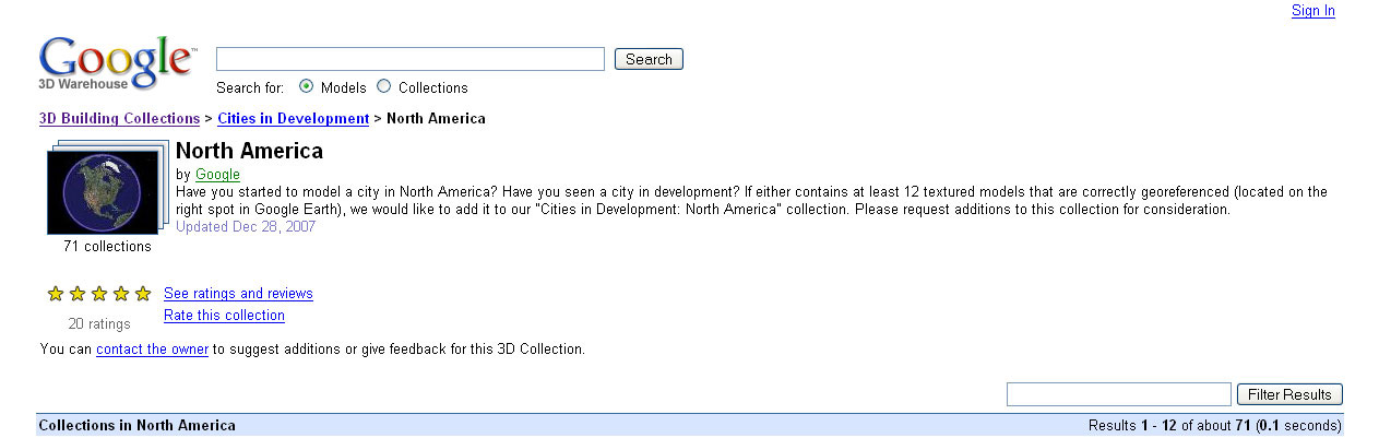 |
| TABLE 3: LINKS TO GOOGLE 'ROOT' COLLECTIONS CONTAINING WORK OF ARCHIMEDES. THE "FEATURED MODELER" DESIGNATION IS A SPECIAL HONOR; TO DATE 36 SUCH DESIGNATIONS HAVE BEEN AWARDED BY GOOGLE 3D WAREHOUSE. |
ONLINE PUBLICATIONS
Announcement: Sandra Lach Arlinghaus, 3D Atlas of Ann Arbor, 3rd Edition
GOOGLE 3D WAREHOUSE COLLECTIONS |
Architecture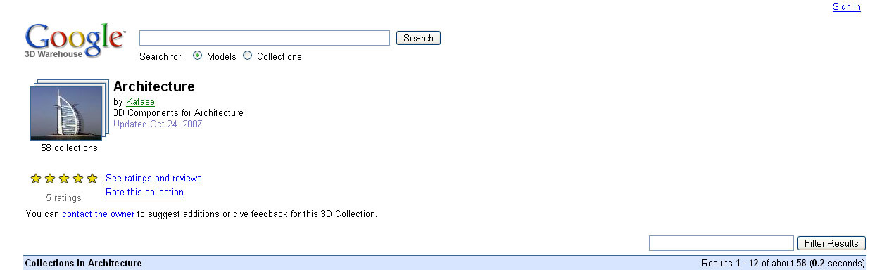 |
The
best 3D Collections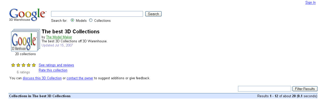 |
House
and Buildings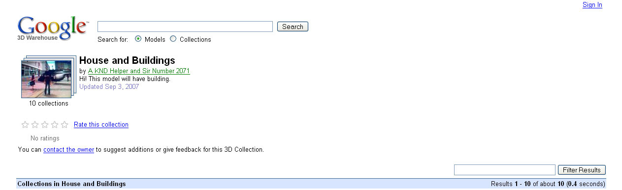 |
| TABLE
4: OTHER SITES AND COLLECTIONS CONTAINING WORK OF
ARCHIMEDES--TRADITIONAL AND NON-TRADITIONAL WAYS TO CONSIDER "CITATION"
AND SIMILAR FORMS OF COMMUNICATION ABOUT SCIENCE. |
Software used:
Google Earth
Google SketchUp
Adobe PhotoShop
ESRI ArcGIS, 9.2
ESRI ArcMap
ESRI 3D Analyst Extension
ESRI Spatial Analyst Extentsion
ESRI ArcView 3.2
Google Earth
Google SketchUp
Adobe PhotoShop
ESRI ArcGIS, 9.2
ESRI ArcMap
ESRI 3D Analyst Extension
ESRI Spatial Analyst Extentsion
ESRI ArcView 3.2
Solstice: An Electronic Journal
of Geography and
Mathematics,
Institute of Mathematical Geography, Ann Arbor, Michigan.
Volume XIX, Number 2.
http://www.InstituteOfMathematicalGeography.org/
http://deepblue.lib.umich.edu/handle/2027.42/58219
Volume XIX, Number 2.
http://www.InstituteOfMathematicalGeography.org/
http://deepblue.lib.umich.edu/handle/2027.42/58219