Sandra Lach Arlinghaus Ph.D.
Adjunct Professor of Mathematical Geography and Population-Environment Dynamics
School of Natural Resources and Environment, The University of Michigan, Ann Arbor
Please set screen to highest
resolution and use a high speed internet connection.
Please download the most recent free version of Google Earth®. Make sure the "Terrain"
box in Google Earth® is checked.
- the full extent of the drainage basin and the relation of these waters to the entire floodplain
- the relation of these buildings to others in Ann Arbor
- the relation
of buildings, streets, waters, or anything else in the scene to the
surface of the Earth.
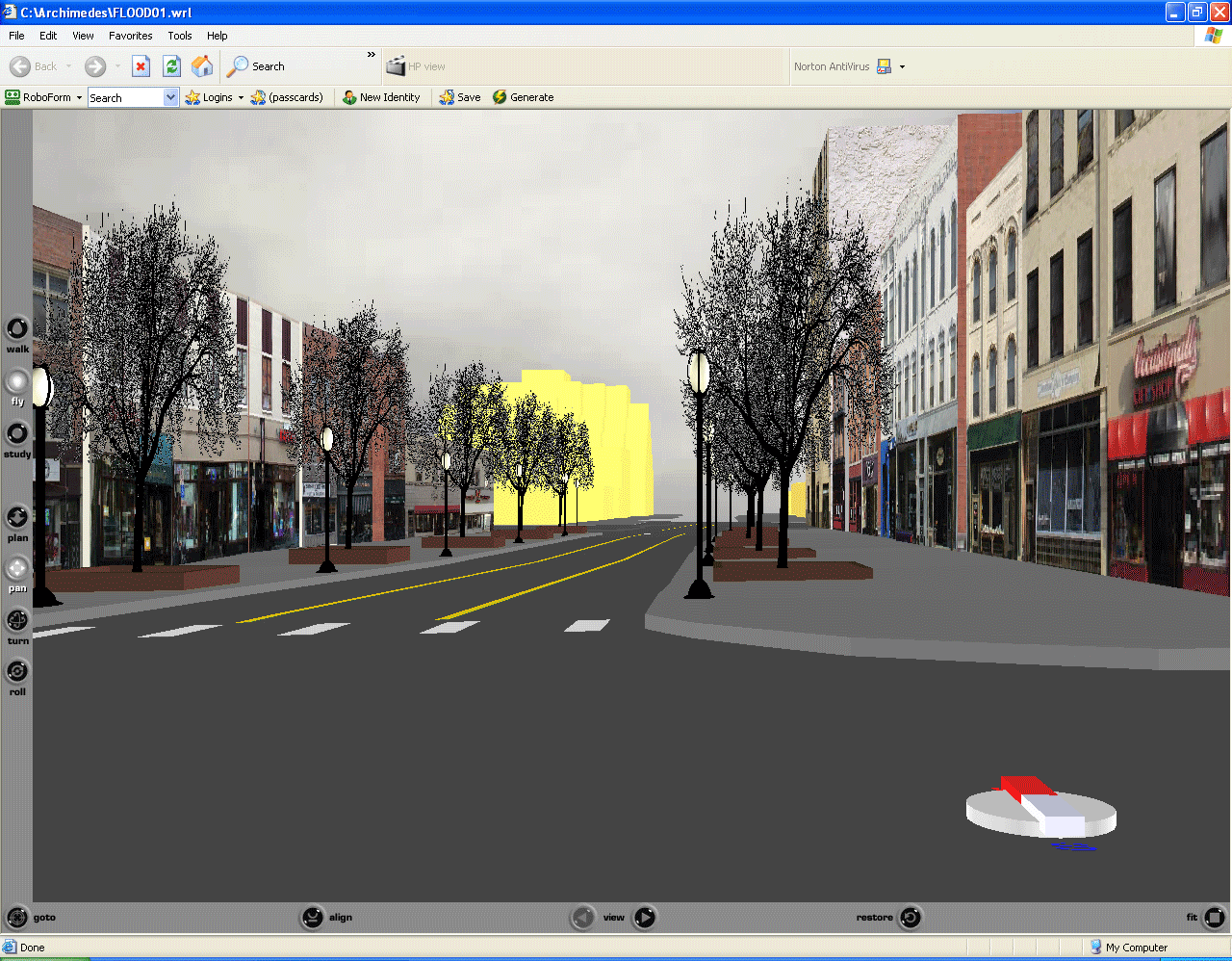 Figure 1.. Animated sequence of screen shots taken from three linked virtual reality models, above. To get the full experience, enter the scene and drive around! |
Google Earth® software offers a
straighforward manner for incorporating the full floodplain, for
viewing all digitized buildings in relation to aerials of the entire
city, and for placing everything on the surface of the Earth. As
one moves around, the pointer offers a read-out not only of position,
in terms of latitude and longitude but also of elevation (in units
chosen by the reader). The concepts learned* in the creation of
the files of Figure 1 (using a combination of ArcView® GIS software from ESRI® together with 3D
Studio Max® from AutoDesk® coupled with simple
editing of .vrml files in a text editor) aided greatly in the leap to
their direct placement in Google Earth® .
|
Go
directly to the recently published 3D
Atlas of Ann Arbor, 2nd Edition via this link
or Go to the eBooks section of the Institute of Mathematical Geography webpage |
OR DOWNLOAD THE FILES BELOW--DRIVE AROUND IN THEM...
|
COVER ART SCREENSHOT APPEARS IN FIGURE 2, BELOW
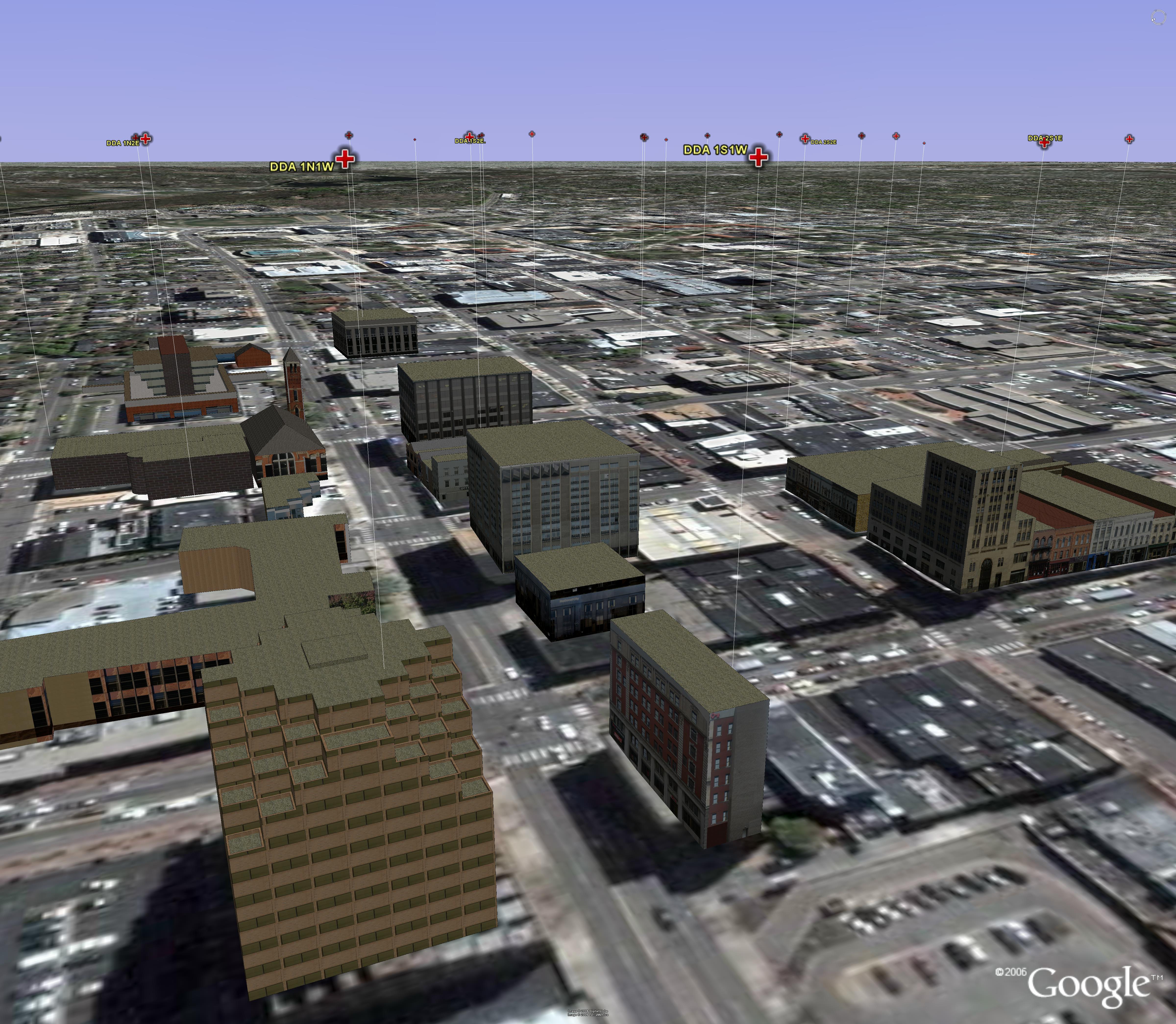 Figure 2. Overview of buildings positioned against aerials on the surface of the Earth. The "balloon" markers offer reference points to a coordinate system so the driver through the virtual scene does not get lost. |
Institute of Mathematical Geography (IMaGe).
All rights reserved worldwide, by IMaGe and by the authors.
Please contact an appropriate party concerning citation of this article: sarhaus@umich.edu
http://www.imagenet.org