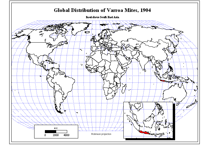
Updated Varroa Mite Map
of Data of
Diana Sammataro
One
advantage to on-line
publication is the capability to update
files. Solstice author Diana
Sammataro sends IMaGe current data for her Varroa Mite Map on
a regular basis. The map first appeared in Volume
IX, Number 1, 1998; a subsequent
update appeared in Volume
XII, Number 1, 2001.
The
current form of the map
- separates the North Island from
the South Island of New Zealand
- fine tunes the timing between
successive animation frames to emphasize the acceleration of the spread
of the mite from the mid-1970s through to the mid-1990s and the
subsequent deceleration of spread in later times.
Map by Sandra L. Arlinghaus
and John D. Nystuen.
Solstice:
An Electronic Journal of Geography and Mathematics, Volume XVII,
Number 2
Institute of Mathematical Geography (IMaGe).
All rights reserved worldwide, by IMaGe and by the authors.
Please contact an appropriate party concerning citation of this
article:
sarhaus@umich.edu
http://www.imagenet.org