Real-time Animation Scripts for Google Earth
Lars Schumann
Research Computer Specialist and Manager, 3D Laboratory in the Duderstadt Center, The University of Michigan
Google Earth files are an outstanding way to organize and visualize large amounts of infomation from complex data sets. Once the initial effort of site creation has been made, maintenance of the site, in terms of updating it with respect to data coming at frequent and perhaps unpredictable intervals, may become a substantial task. Ways to automate that issue are suggested on the link below. The linked website illustrates ongoing work in this arena. The link is to a live site so that readers might return and see the latest. In terms of long-range persistence, however, the work is also captured in a zipped file and archived in Deep Blue with a persistent url. The persistent url will continue to be available and will contain this explanation.
|
Link to live url:
http://www.larsi.org/portfolio/GoogleEarth/ Link
to extra file based on file above:
Lars.html Link to persistent url for all of Solstice: http://deepblue.lib.umich.edu/handle/2027.42/58219 |
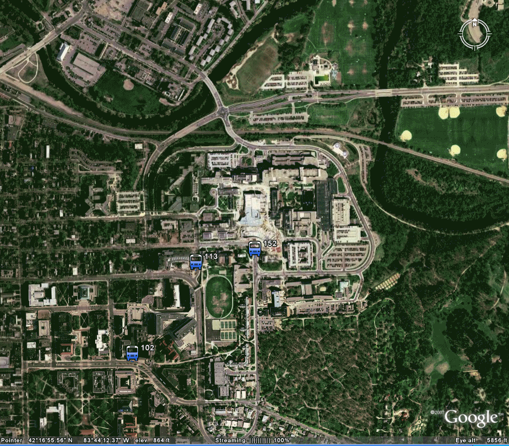
Static screen shot from Google Earth (appears on the cover of this issue of Solstice); an animation from 72 static frames:
 |
Solstice:
An Electronic Journal of Geography and Mathematics,
Volume
XIX, Number 1
Institute
of Mathematical Geography (IMaGe).
All
rights reserved worldwide, by IMaGe and by the authors.
Please
contact an appropriate party concerning citation of this article: sarhaus@umich.edu
http://www.imagenet.org