During the past 6 months
presentations of the 3D Atlas of Ann
Arbor,
1st Volume (without Google Earth/SketchUp®), were
given by the author
to various groups of community leaders. Particular wishes, beyond
what
was presented in that material were:
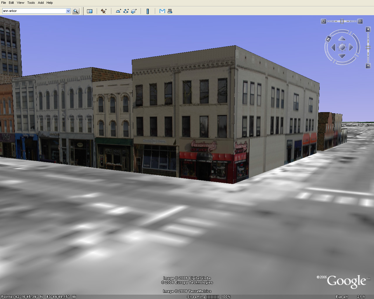
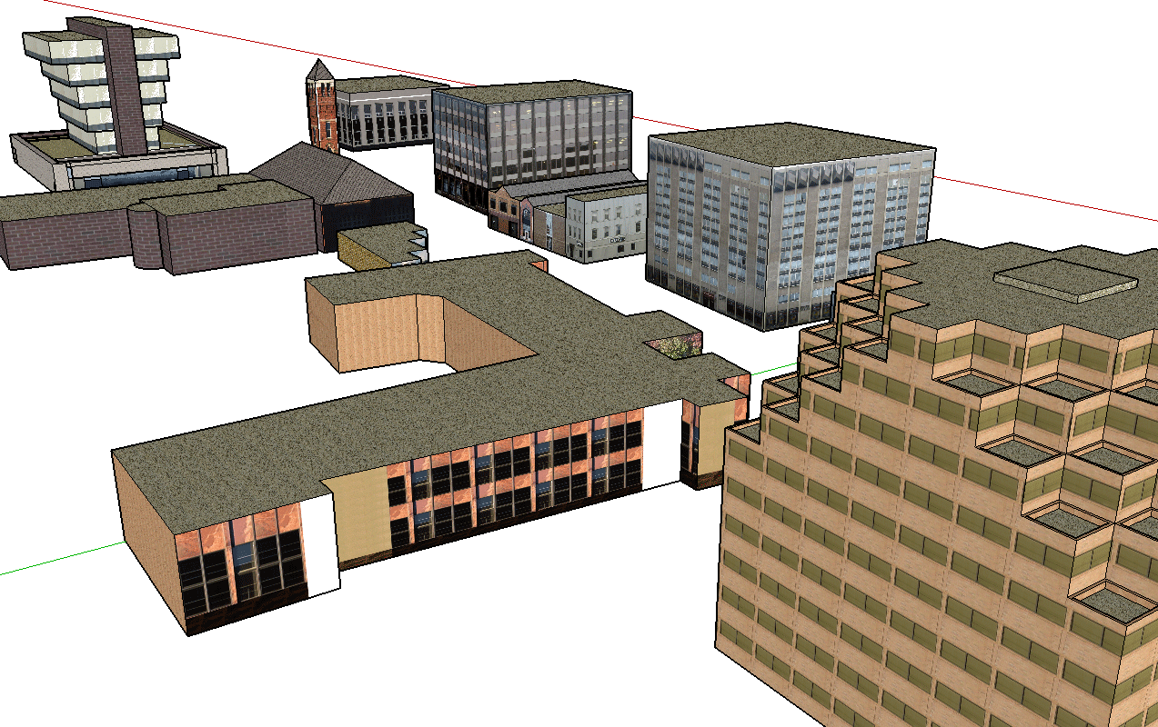
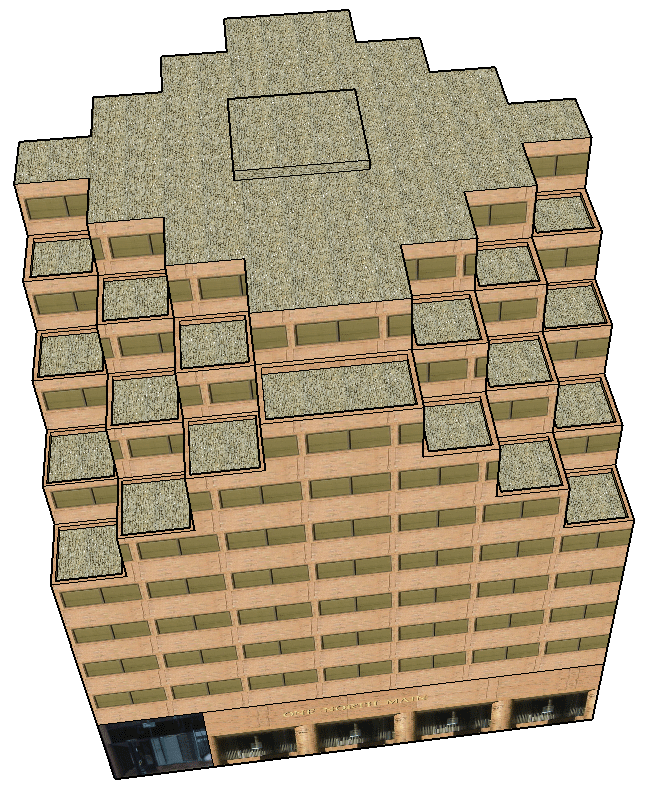
- a desire to model buildings
- a desire to introduce detail at the level of a single
building
(awnings, window displays, design elements of the building, and so
forth)
- a desire to measure the effect of shadows
- a desire to be able to add buildings oneself, in
considering possible sites for future buildings
- a desire to build an Ann Arbor game
- a desire to be able to own easy-to-use software and do all
of the
modeling on a home computer, or a city council computer, with no
additional purchase of software.
The Google Earth/SketchUp®
package enabled the entire wish list. It is
an important tool to add to the glittering array of software already
employed by many urban and environmental
planners. |
What remains, beyond the obvious
(but time-consuming) completion of all buildings and field-checking of
heights and facades, is:
- to integrate the effect of terrain
- to learn to transform the files into a format that will
play out in an immersion CAVE or other interesting 3D visualizations.
|
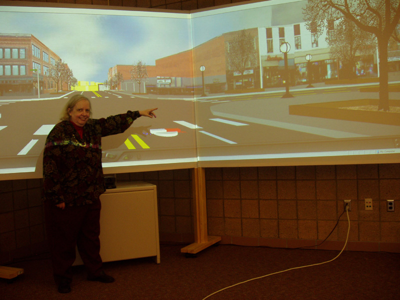
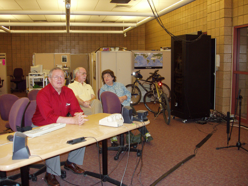
| On
June 9, 2006, the author
presented the material in this article to an invited group at the 3D
Laboratory of the Duderstadt Center at The University of
Michigan: John Nystuen, Gwen Nystuen, Fred Goodman, Ann Larimore,
and Bart Burkhalter. Staff of the 3D Lab were also present for
some or all of the presentation. Click here for photos from the
event: photo 1; photo 2. |