Context:
Cultural, cont'd
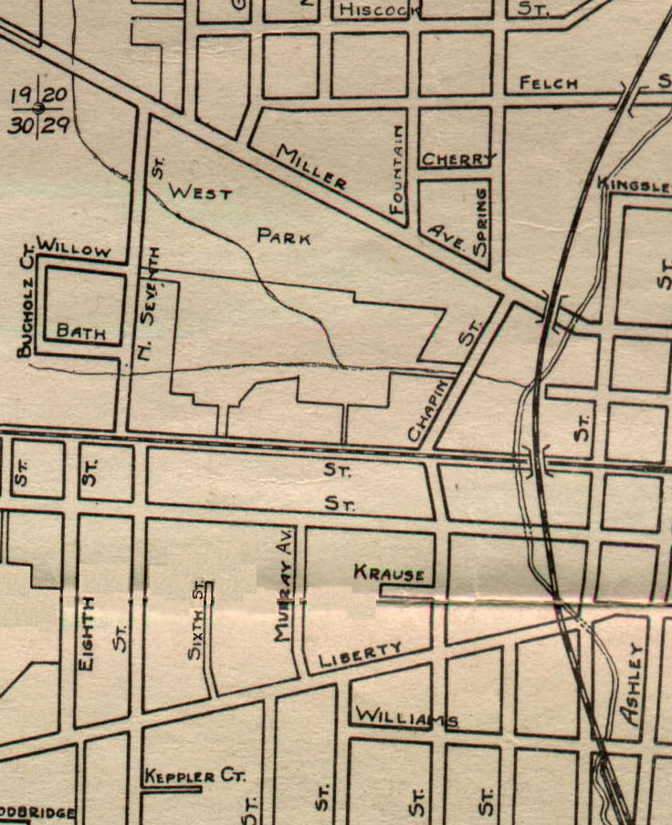
The map at the left indicates some additional changes to the project site by the 1920s. Though obviously not as detailed as the previous maps, there are several more streets shown, including Murray Street and what is now the Mulholland portion of Sixth Street. Interestingly, Allen's Creek is still indicated aboveground, providing a clue that it had not yet been undergrounded by the time this map was drawn.