|
Purpose: |
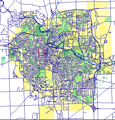
Street
and Parcel Map of Ann Arbor
Washtenaw County, Michigan Data source: City of Ann Arbor Geographic Information System and Professor Sandra Arlinghaus |
|
As a landscape architecture student interested in historical landscape architecture and preservation, my research interests are founded in history and change in the landscape over time. The tools used in analyzing historic landscapes consist generally of hard copy data such as historic photographs and postcards, aerial photographs, local histories, diaries, correspondence, and with some luck, historic landscape plans. These hardcopy data are typically translated into graphic elements using hand drafted or AutoCAD drafted plans. An "existing conditions" and a "period" plan are usually developed and compared as analysis tools. Often historic plans are overlaid with existing condition plans to discover the landscape elements that have been lost, added, or are remaining. How can GIS and the Internet be used to augment this general formula for historical landscape analysis? On the following linked pages, I will provide several examples of how GIS and the Internet may assist in this analysis and illustrate where perhaps these tools fall short. A secondary goal of this project is to gain an understanding of the general history of the project site. The findings of this research are integrated on the following pages. As my area of study I have chosen a neighborhood in Ann Arbor, including a portion of the Old West Side. The red highlighted polygon in the parcel map of Ann Arbor outlines the perimeter of the neighborhood I am studying. Click below for the methodology of this project. |
|