 |
Jie Kang and Shu Zhangz
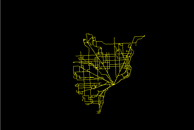
1. SMART bus route network serves the entire Detroit Metropolitan
region.
|
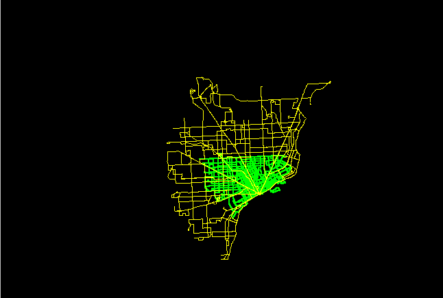
2. DOT, in green, serves the City of Detroit; SMART routes are
superimposed.
 |
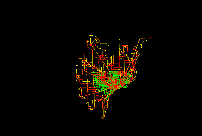
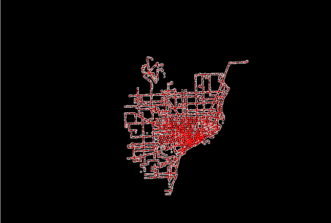
3. Bus stops on both DOT and SMART are shown as red dots; the
data base contains latitude and longitude of stops as well as infomation
about them, such as whether or not there is a shelter.
 |
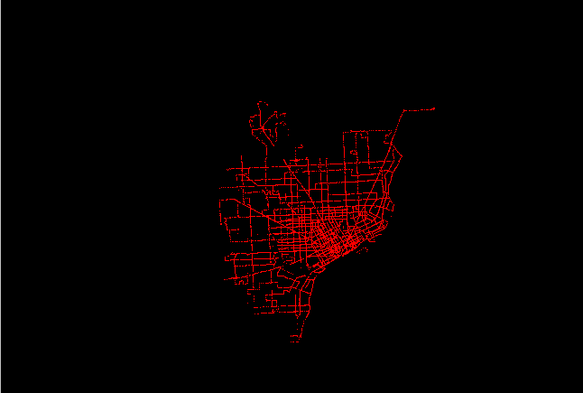
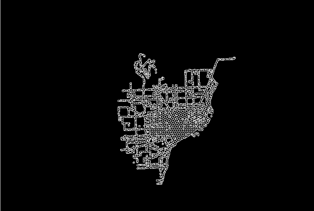
4. Stops only are shown below. When stops are closely spaced, the dots appear to form a line.
 |
5. Stops are buffered below with circles 1/4 mile in radius (distance
a person might easily walk to a bus stop). Intersecting arcs of circles
were removed.
 |
6. The bus stop buffer, only, is shown below. It will be used as a cookie cutter on other maps.
 |
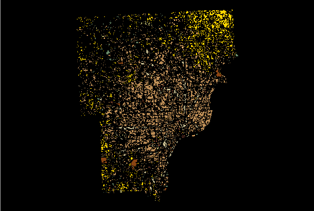
7. Land use maps from 1995 are available for the tri-county metro
area (SEMCOG): Wayne, Oakland, and Macomb counties.
 |
8. The bus stop buffer is superimposed on the set of three land
use maps.
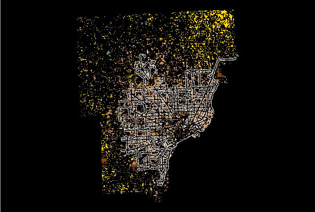 |
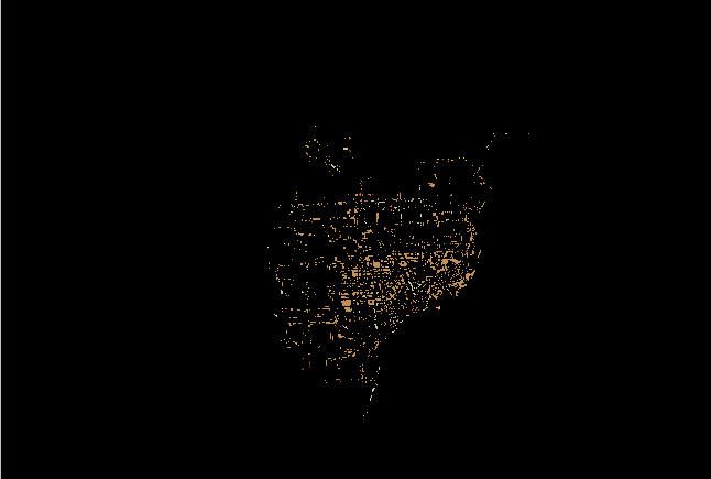
9. The bus stop buffer is used as a cookie cutter to cut out land
use along bus routes--regional view, below.
 |
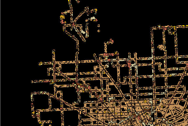
10. Close-up view shows detail of land use along bus stops.
Thus, one can find commercial area along bus routes as well as residential
or industrial areas.
 |
Next steps: