-
The World Outside a GIS.
-
To get copies of GIS maps for use elsewhere:
-
Use the Windows-universal command, Alt+PrntScrn, to take what is on the
screen, put it on the Windows clipboard, and paste it into other
applications.
-
Use the "save as" or "export" or "copying" capability of the GIS itself
to make static maps that can be opened as images in other applications
(sometimes, though, these capabilities that are internal to the GIS
itself
are not all that one might wish for; one example is in exporting images
from ArcView that have patterns with transparent backgrounds--in this
case
it is better to use the command above). In addition, some solid
colors
may exhibit a Moire pattern when exported directly from ArcView, but
not
when copied using Alt+PrntScrn.
-
Manipulating GIS images elsewhere.
-
Adobe PhotoShop or other editor to create .gif or .jpg image from GIS
maps.
Go to File|New to open a blank canvas. Then use Ctrl+v to paste
in
the content of the Windows clipboard.
-
Most people have some knowledge of Excel; far fewer, though, seem to
have
much experience with PhotoShop. To date, you
may just have used PhotoShop to change formats of a file so that it
could be mounted on the web. Listed below are a few
PhotoShop techniques that might prove useful in the mapping
environment--PhotoShop
images are raster images (composed of two-dimensional pixels) images;
ArcView
images are vector images (zero-dimensional mathematical point
locations).
A few Adobe PhotoShop skills--this package is extremely
rich in capability
and well worth time spent learning the wide variety of possible tools
available
for image manipulation.
RGB color: Image|Mode|RGB Color
Format: .psd, .gif, .jpg, and others. Alt+Prntscreen,
File|New,
and pastefor best .jpg from ArcView.
Put text on the image
Crop the image
Layers in PhotoShop
Arrangement of spatial forms--maps and aerials, or whatever!
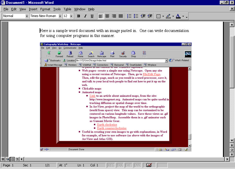
- Creating your own images to go with explanations, in Word
for example, of how to use software.
-
Clickable maps. Take a map at a broad scale and link to it
close-ups
of regional maps, photos, or images of spreadsheets. Link more to
each of these. A clickable map is a sort of spatial table of
content
to a broad range of graphic displays. Here is a sample
made by Jennifer Rennicks in NRE530, Fall, 1999 (click on the Cockscomb
Basin Wildlife Sanctuary in the map).
-
Animated maps
-
Link to an article about
animated maps, from
the site: http://www.imagenet.org. Animated maps can be quite
useful
in tracking diffusion or spatial change over time.
-
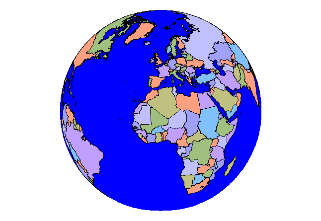
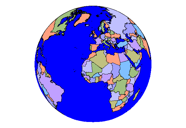
In ArcView, project the map of the world to the orthographic (world
from
space) view. This map can be customized to be centered on various
longitude values. Save these views as .gif images in
PhotoShop.
Assemble them in a .gif animator such as Gamani Movie Gear.
-
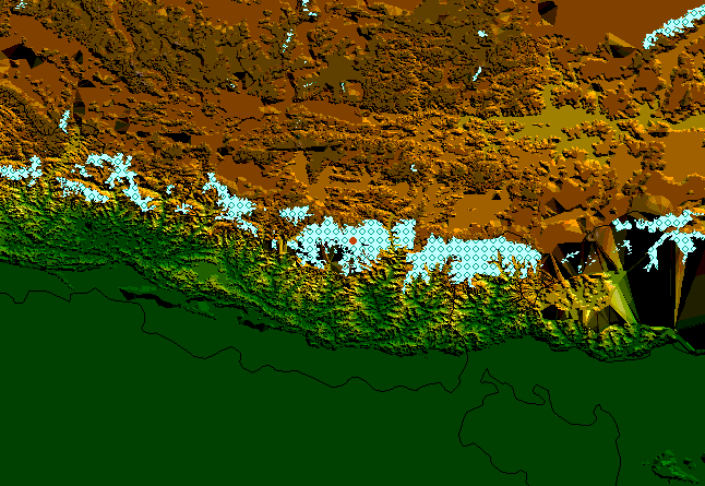
South Asia animation of TIN files.
-
Maps on the Internet
-
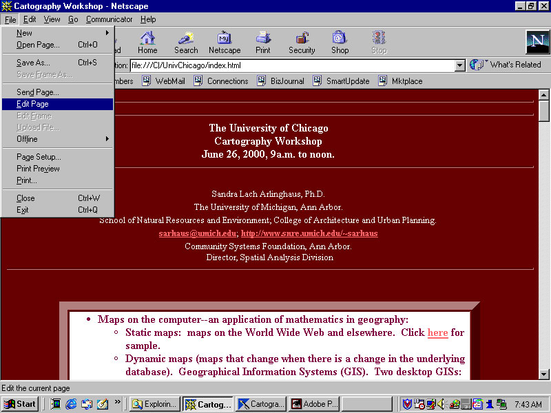
Web pages--create a simple one using Netscape or any of a variety of
other
software. Open any site using a recent version of Netscape.
Then, go to File|Edit Page. Or, go to
File|New|Blank
Page. Then, edit the page, much as you would in a word processor,
save it, and talk to your local tech people to find out how to put it
up
on the web.
-
Putting text on a web page.
-
Putting images on a web page--maps from a GIS saved from PhotoShop in
.gif
or .jpg format
-
Putting tables on a page.
-
Putting links on a page--relative and absolute.
-
More specialized web software will permit you to make more advanced
graphics
such as "rollovers" and "timelines" and the like; however, for most
purposes
just a very simple page created in a browser is sufficient.
-
colors may look different depending on what browser is being used
(there
are "websafe" colors--read about it on the web).
-
Sizes may look different depending on monitor size and settings.
-
Dynamic Mapping
-
Neighborhood Information Systems and E-Government (Municipal maps on
the
web: static and interactive)
|