UP 507
Final
Project
The
goal of this project is to integrate the conceptual principles taught over the
course of the semester with the GIS technical skills that we have been exposed
to in this class.
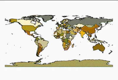
Where?
The Fiji Islands
 |
Background
The social organizations on the Fiji islands
have been described as chiefly organized.
What this means is that the socio-political complexity found on these
islands at the time of European contact falls in the “"socio-evolutionary
scale of development" in the intermediary stage between tribal society
and state level organization (Service, 1962)
Chiefdom population sizes range from "low thousands to tens of thousands”"
(Johnson, 1987), and are socially organized into hierarchies, where at a local
level an individual's relationships to the apical leader can be mapped in
the local social cosmology. Thus,
an individual's potential to rule over others is determined relationally,
whereby one's proximity along kinship lines to a founding ancestor or supernatural
force is not only measurable, but up for social comparison and competition.
At the regional scale, the paramount chief is the highest-ranking elite in the highest-ranking lineage and has the authority to manipulate the flow of trade between local chiefdoms, and to dictate social taboos that restrict access to specific goods and resources. As chiefdoms develop more complex forms of authority and organization, the direction of accessible goods and resources departs from models that predict least-cost pathways between different productive nodes in an island network.
For
this project, I will assume a reduced model of interactive complexity between
nodes, and will only attempt to understand island trade and exchange with
a simple set of parameters.
This analysis relies on two previous studies in the literature. First is the use of graph theory and network
analysis by Hage and Harary in Island Networks (1996), where the authors
applied sophisticated mathematical concepts to understanding "a variety
of social, cultural, and linguistic relations" in Polynesian Islands. Graph theory is useful for our analysis,
because its application defines elements by their relational position with
other elements in the overall structure. The position and relationship of
the elements (a finite set of V nodes) is defined by a set of E
edges. The graph theoretic model that we will
be using is a simple TREE diagram. This is useful because graph models are
not bound to fixed coordinate systems, which would otherwise assign each node
(V) a known X-Y-Z position, and each vector (E) a value corresponding
to a three dimensional direction and magnitude. Therefore, graph models exist
abstracted from fixed interpretive frames. This makes each model autonomous,
defined and interpretable by its own properties, and free from the distortions
that are incurred in the radical translation of spatial data between coordinate
systems that rely on a different set of logical assumptions and truths about
the frame universe (Quine, 1969 )--(As an example, consider the reprojection
of maps between different systems that assume different datums and representations
of the earth's shape)
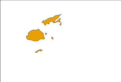 |
Registration of Fiji map, and the creation of a line and point shape file. |
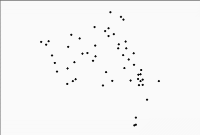 |
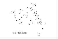
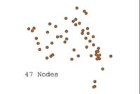
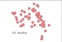
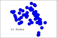
Island buffering to determine node count based on a spatial hierarchy relationship. |
 |
O Km Buffer |
 |
10 Km Buffer |
 |
20 Km Buffer |
 |
30 Km Buffer |
Wright, H. and M.
Zeder (1977). The simulation of a linear exchange system under equilibrium
conditions, In T.K. Earle and J.E. Ericsson (eds.), Exchange systems in
Prehistory, New York: Academic Press, pp. 233-253