By
Steve Schultz
NRE 600: Maps and Decisions
University of Michigan
I
creating a topographical map the mountin bike trail at Island Lake Recreation Area
in Brighton, Michigan. To view the location of the trail within
Michigan:
State of Michigan
To view a the 2-dimensional map of the trail and park provide by the
state of Michigan:
Map of Island Lake
To view the GPS data that I recorded of the trail at
Island Lake:
GPS Map
To view a
contour map and a 2-D map of the trail and the surrounding area click
below:
Contour and TIN Maps
To access
additional mountain bike trails in Michigan with detailed trail
information, go to the Michigan Mountain Bike Association (MMBA)
website at:
MMBA Trail Index
To
virtuallly ride the trail click on the link below:
Virtual Reality
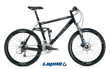
Below is a
picture of the bike with which I rode the trail and collected data for
this project. To access the Trek website click on the image of
the bike.
The link below shows the steps that were done in the creation of this
project
Steps of Project