CHANGING
LAND
USE, CHANGING RIVER CHANNELS...
A STUDY IN THE
VENEZUELAN
ANDES
This study aims
to
show a correlation between change in watershed land use and change in
river
channel morphology, or shape. The entire study contains six
watersheds,
however, this project focuses on one of them, the Rio Las Marias.
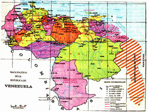
The study site
is
located on the South side of the Venezuelan Andes, in the Portuguesa
Province,
North of the town of Guanare.
 (click map for
more
information from MIT's Venezuela server)
If you would
like
some more details of the study, click here.
For the methods
of
analysis of this study, click here.
For the
proposal
of the entire thesis, click here.
(click map for
more
information from MIT's Venezuela server)
If you would
like
some more details of the study, click here.
For the methods
of
analysis of this study, click here.
For the
proposal
of the entire thesis, click here.
For the results, click here.