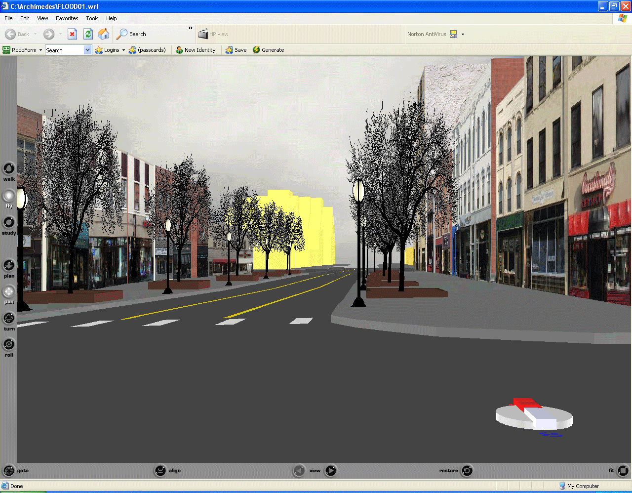
Animated sequence of screen shots taken from three linked virtual reality models, above. To get the full experience, enter the scene and drive around! |
|
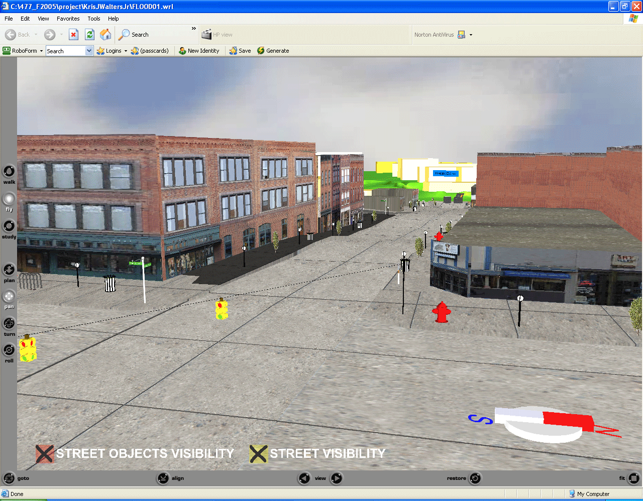
Animated sequence of screen shots taken from three linked virtual reality models, above. To get the full experience, enter the scene and drive around! |
Animated sequence of screen shots taken from three linked virtual reality models, above. To get the full experience, enter the scene and drive around! |