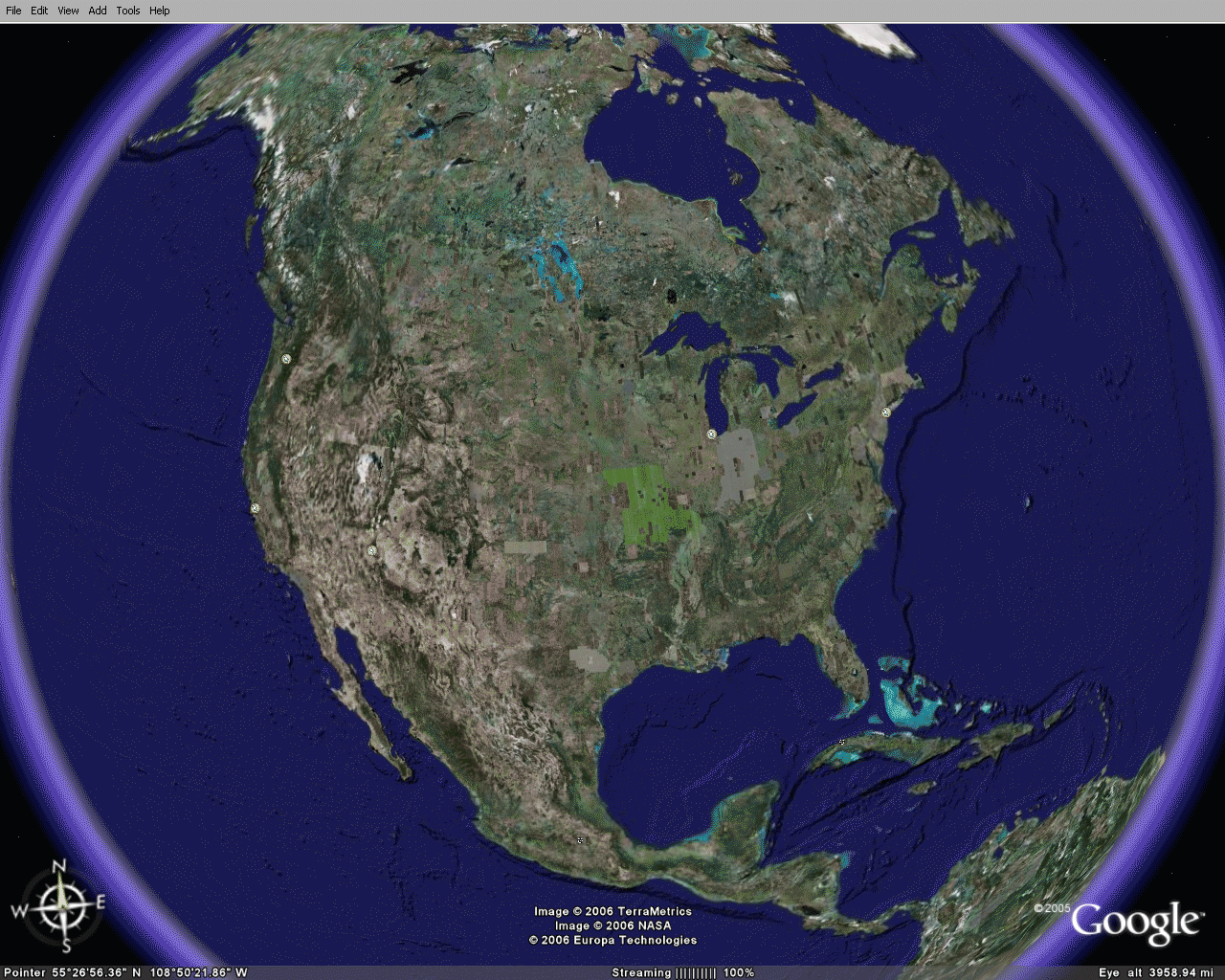
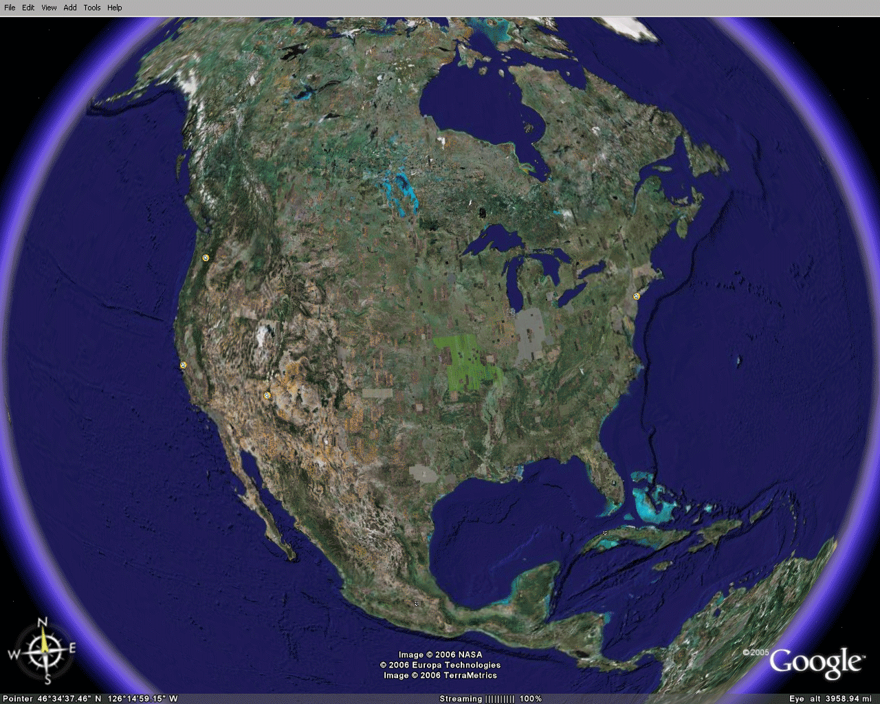
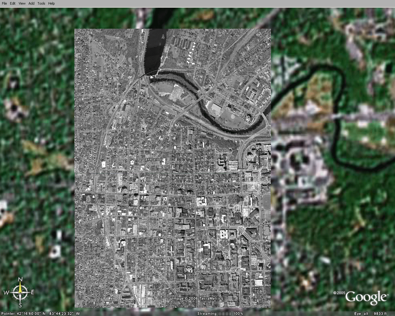
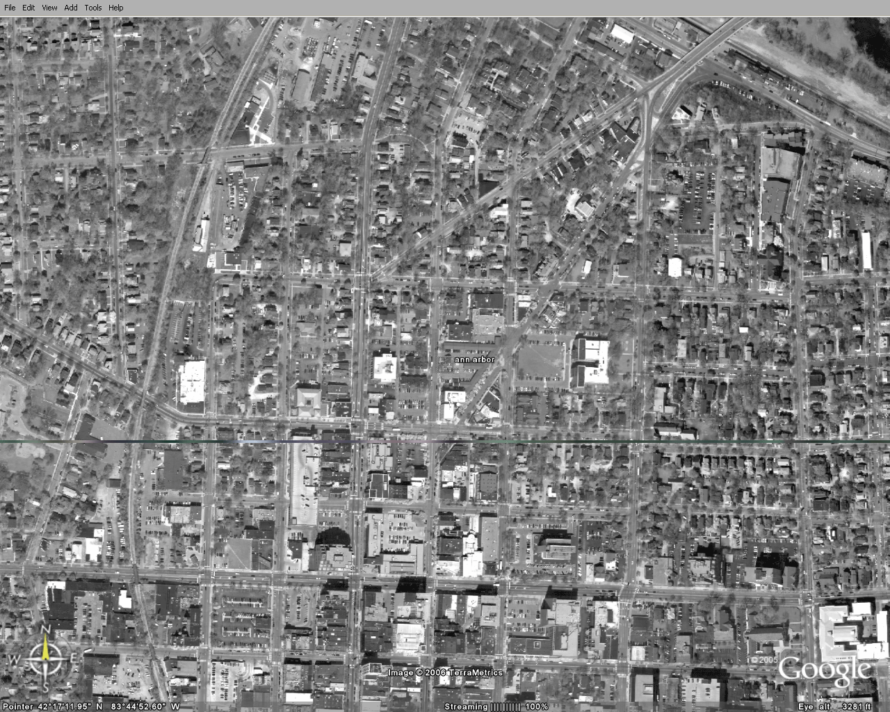
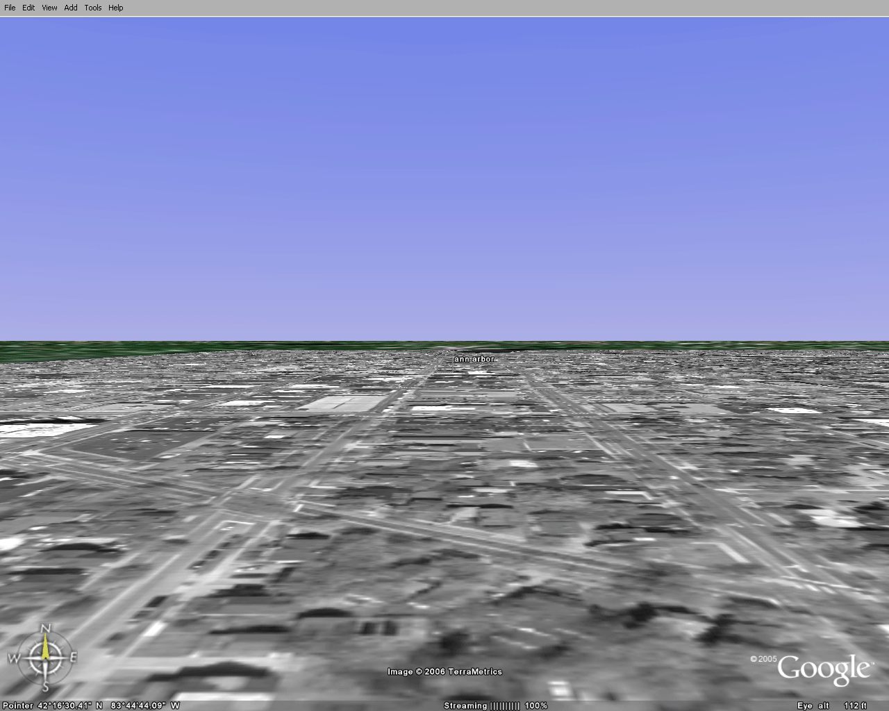
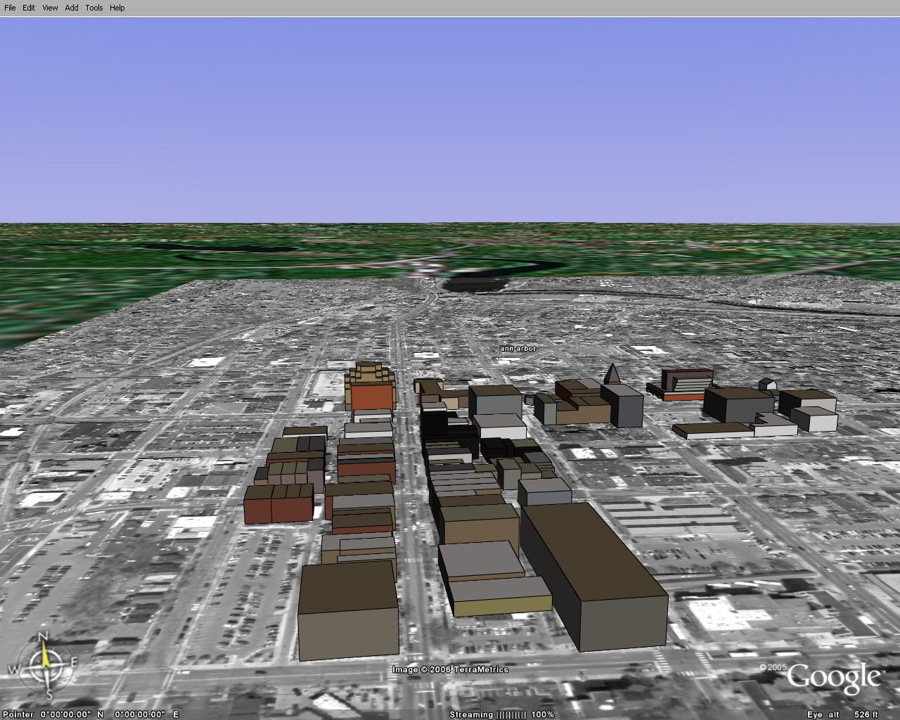
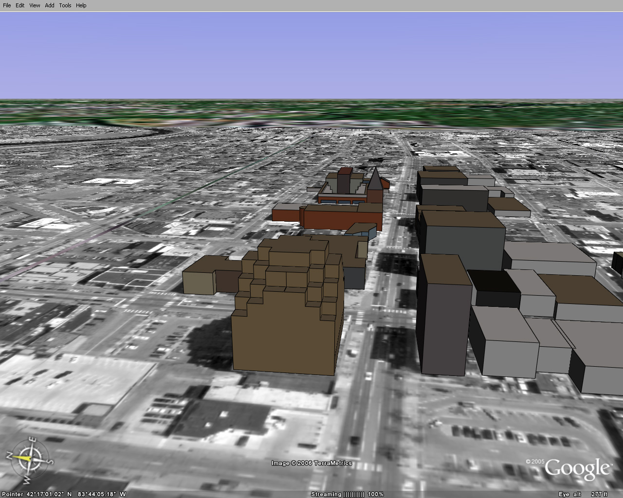
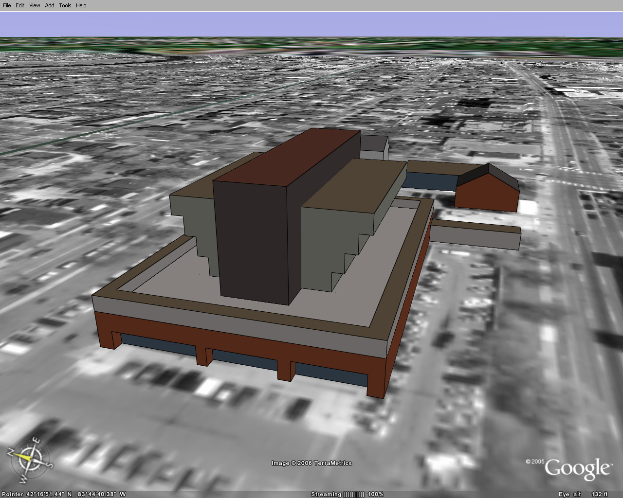
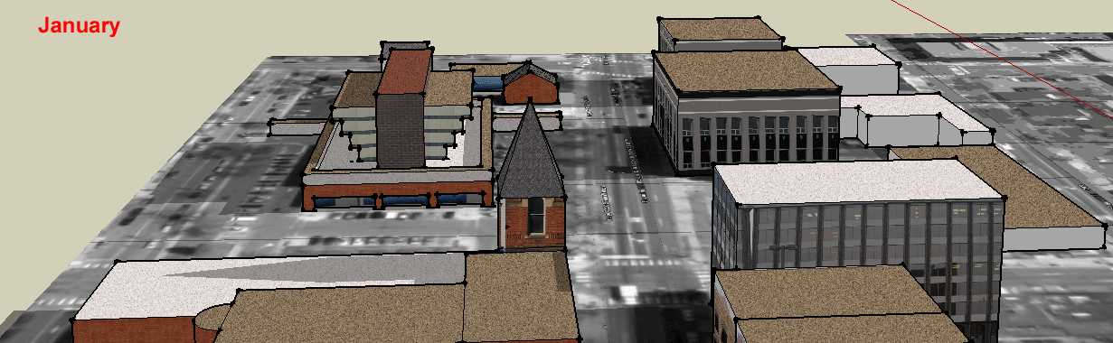
The images in Figures 1 to 8 are
all based on screen captures from
interactive products. As such, they present only a small part of
the
story. To see the Ann Arbor files, in Google Earth®, download
Google
Earth®
to your hard drive. Save the following files to your desktop
(scanned by Norton and virus-free at upload):
Then, in Google Earth®,
go to Open and navigate to the files on your
desktop and open each of the three. Then, type in "Ann Arbor" and
you
should be able to navigate the buildings for yourself! Notice the
compass. |
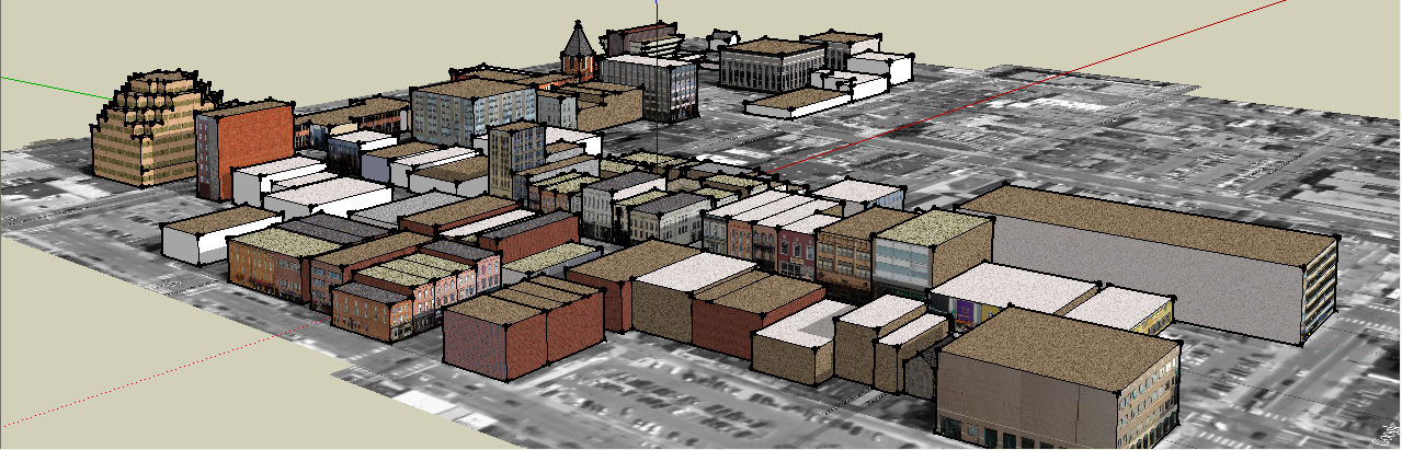
If you wish to view the scene
with the photographic textures and
shadows at varying positions, or to add new buildings of your own as an
experiment in planning, then download Google SketchUp® (link
below with the
library of textures used) and install it and also download the SketchUp®
file and Open it in SketchUp®.
- SketchUp®
executable file with suitable library: Link 4.
- SketchUp®
file of Ann Arbor: Link 5.
|
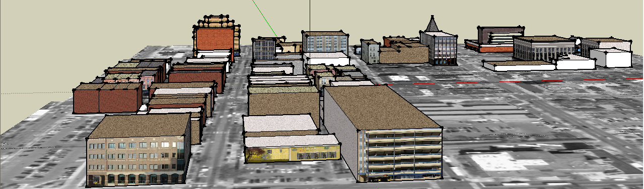
During the past 6 months
presentations of the 3D Atlas of Ann
Arbor,
1st Volume (without Google Earth/SketchUp®), were
given by the author
to various groups of community leaders. Particular wishes, beyond
what
was presented in that material were:
- a desire to model buildings
- a desire to introduce detail at the level of a single
building
(awnings, window displays, design elements of the building, and so
forth)
- a desire to measure the effect of shadows
- a desire to be able to add buildings oneself, in
considering possible sites for future buildings
- a desire to build an Ann Arbor game
- a desire to be able to own easy-to-use software and do all
of the
modeling on a home computer, or a city council computer, with no
additional purchase of software.
The Google Earth/SketchUp®
package enabled the entire wish list. It is
an important tool to add to the glittering array of software already
employed by many urban and environmental
planners. |
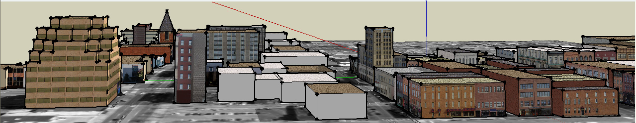
What remains, beyond the obvious
(but time-consuming) completion of all buildings and field-checking of
heights and facades, is:
- to integrate the effect of terrain
- to learn to transform the files into a format that will
play out in an immersion CAVE or other interesting 3D visualizations.
|